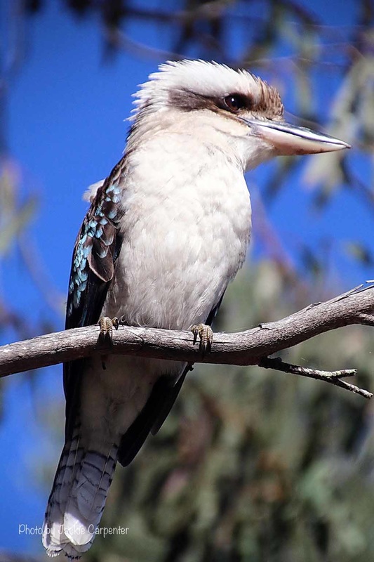
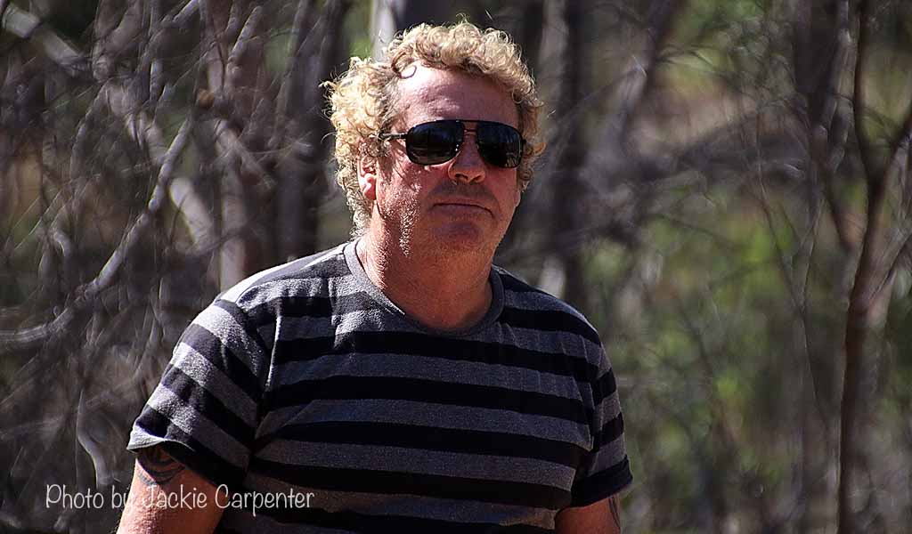
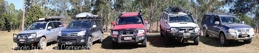
Header image: Photo by SEQ Overnighters member - Jackie Carpenter.
Kilcoy to Kilkivan to Wongi Waterholes (aka: "The Great Dessert Overload of 2015")
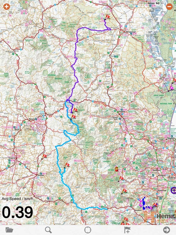
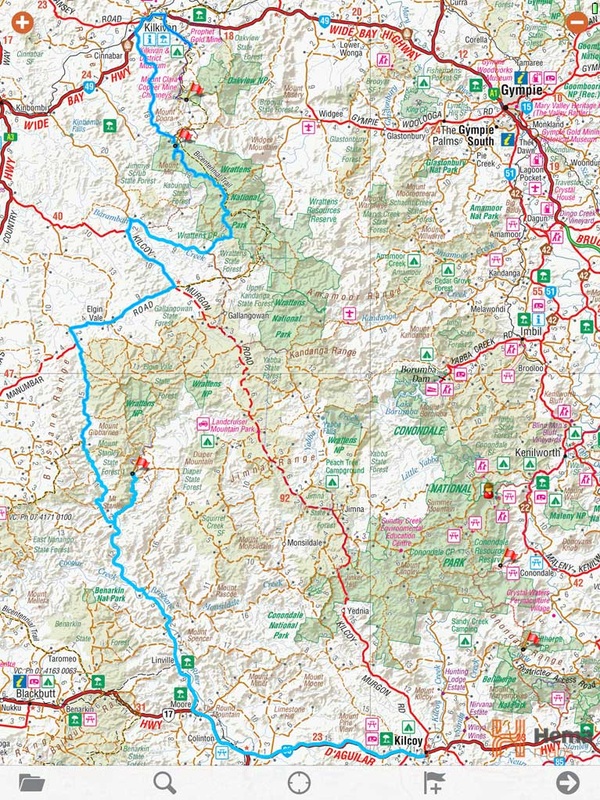
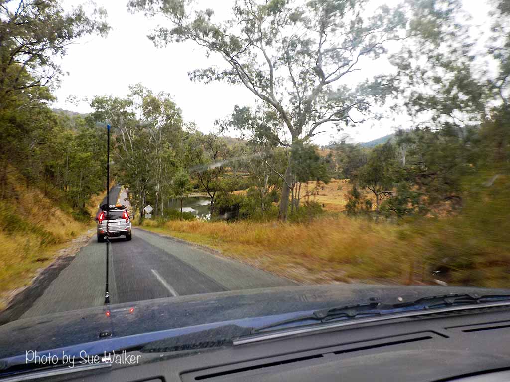
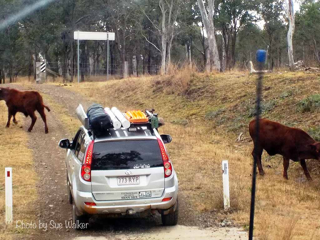
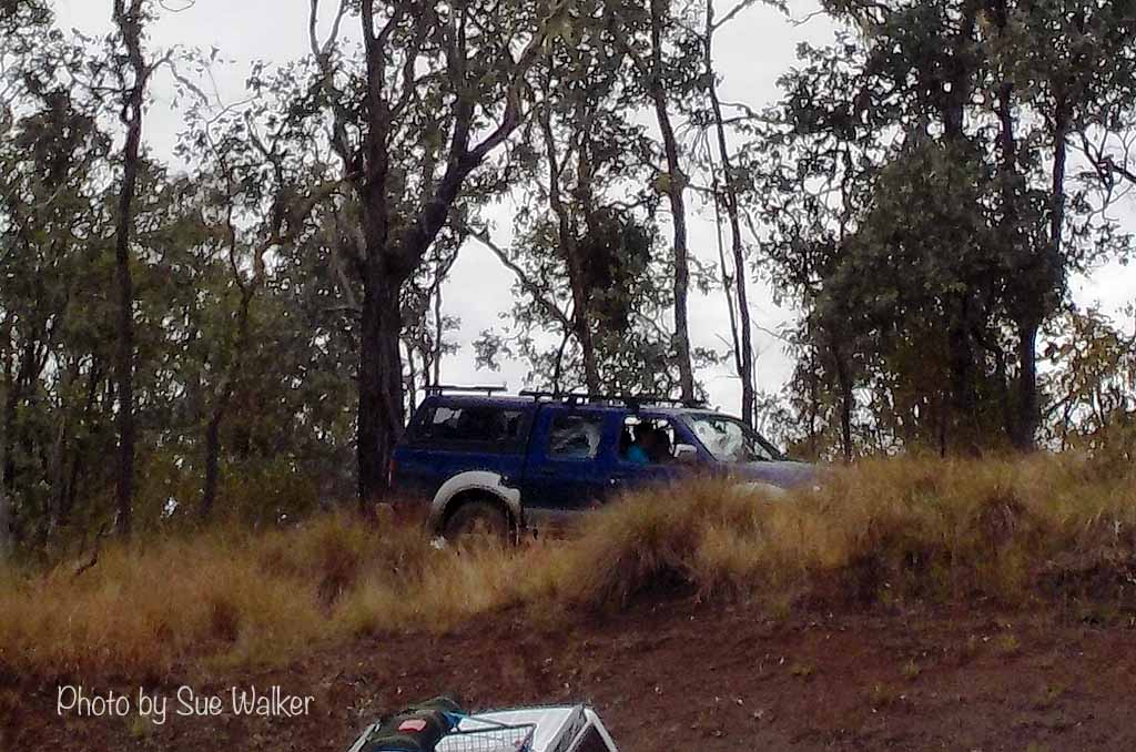
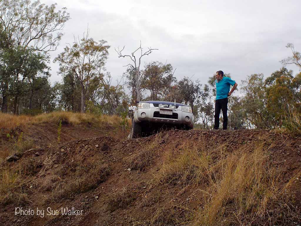
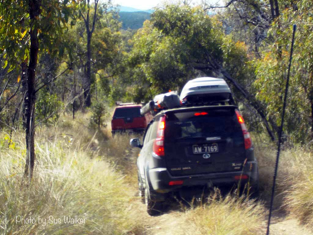
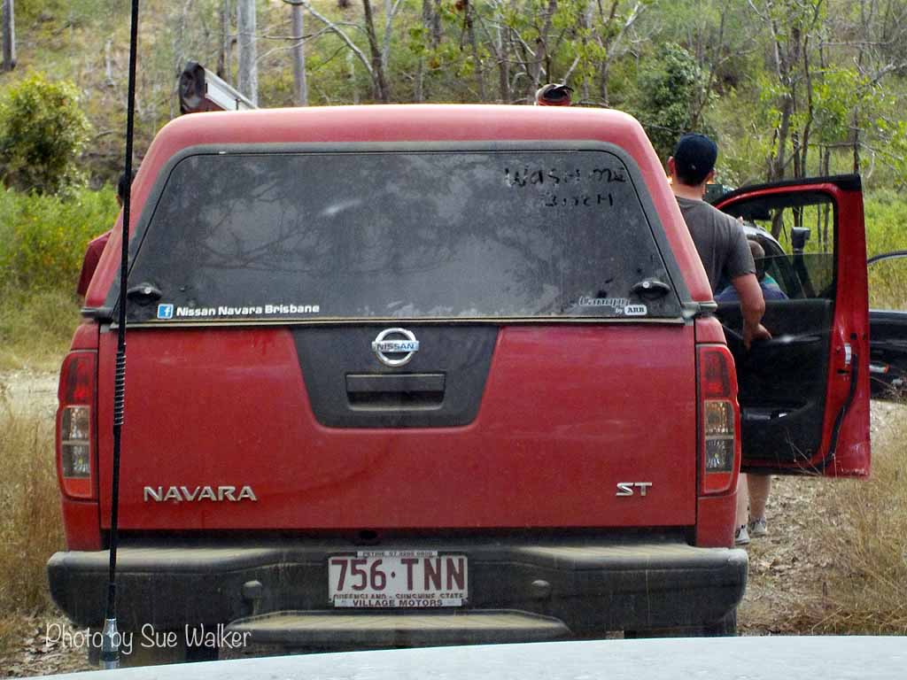
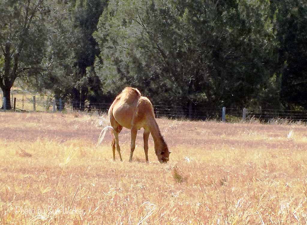
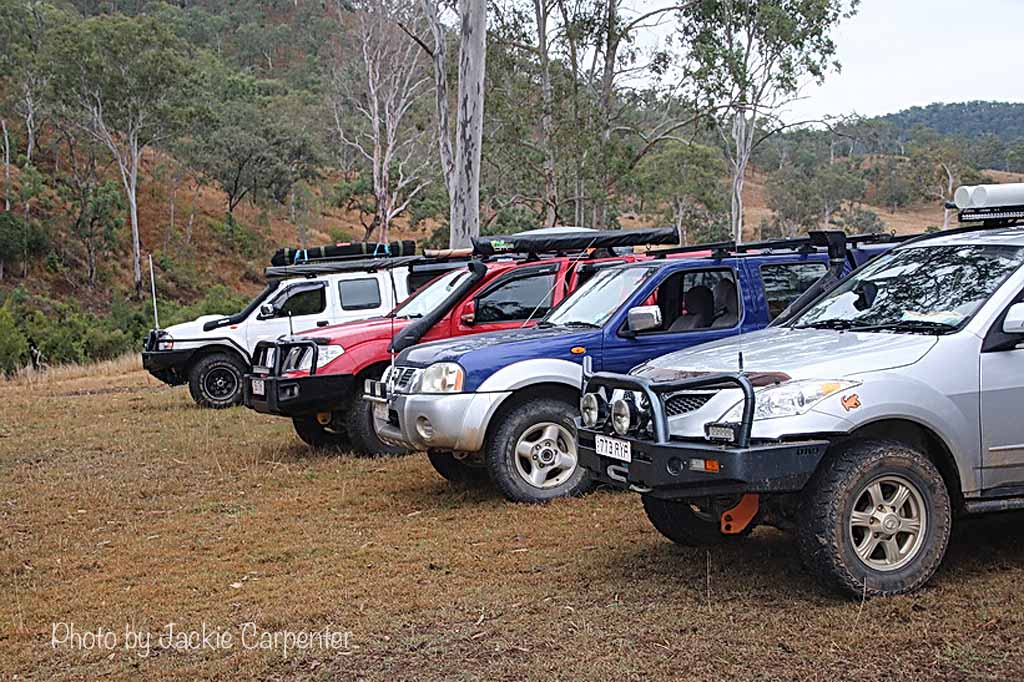
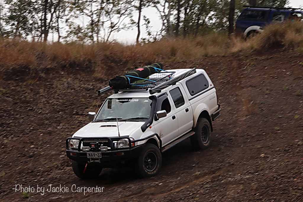
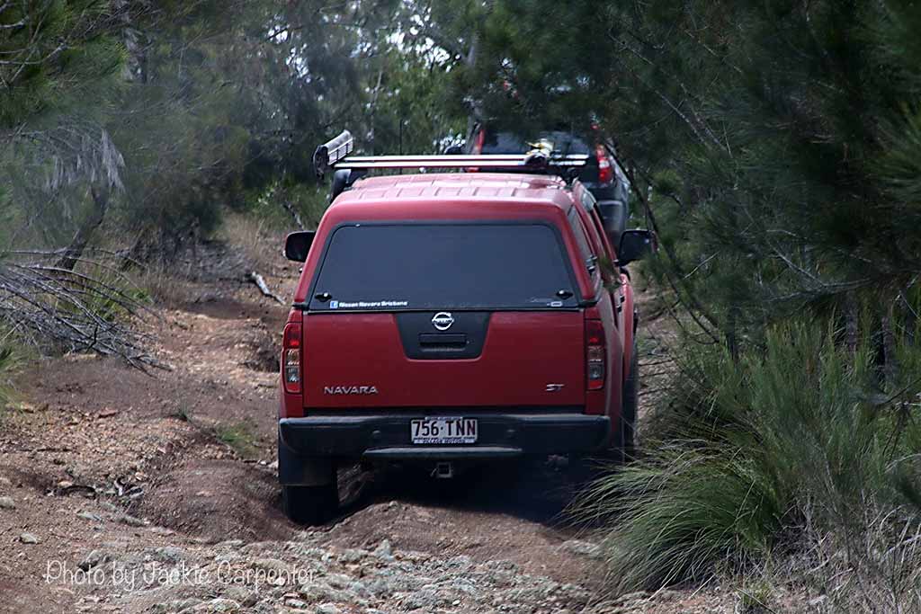
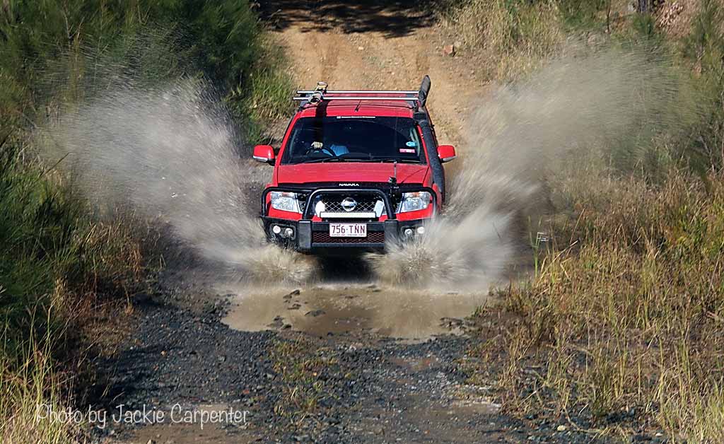
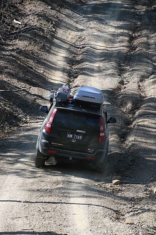
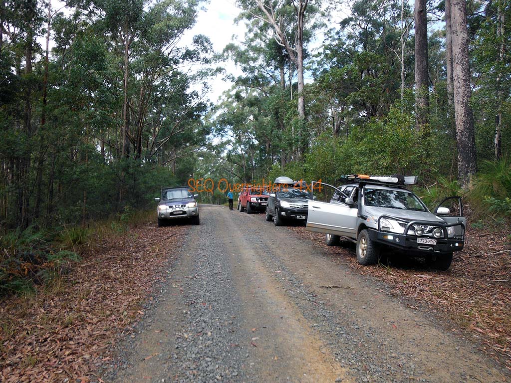
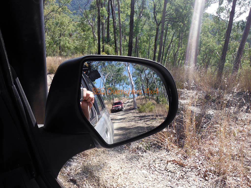
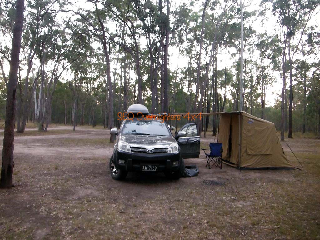
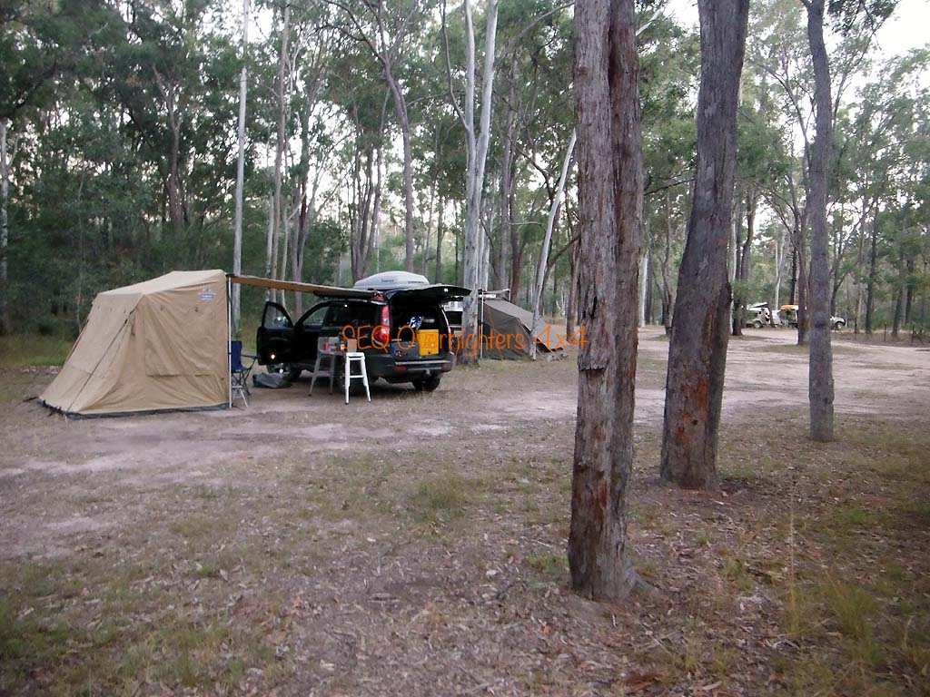
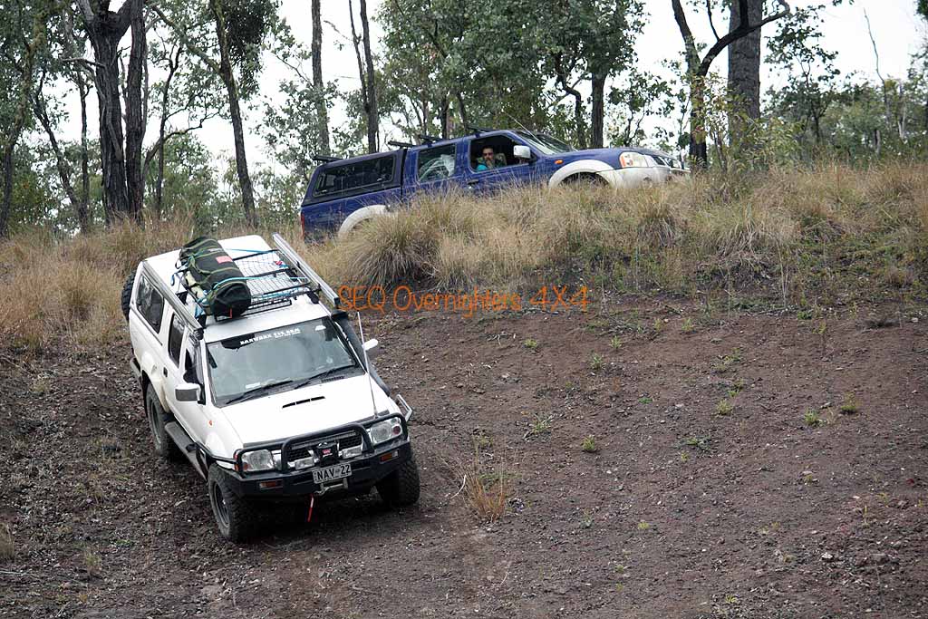
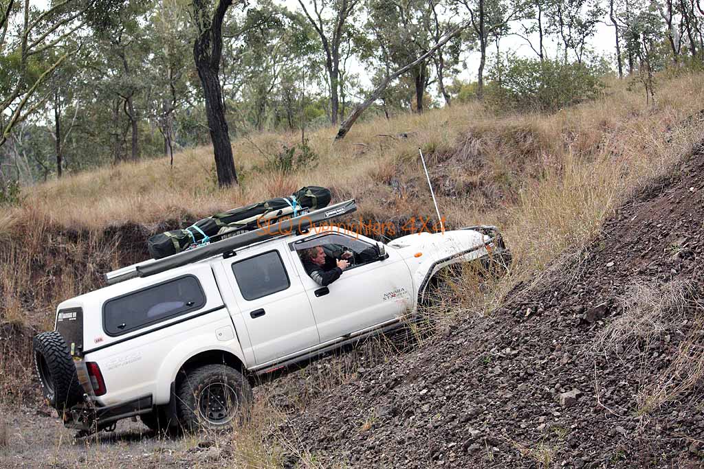
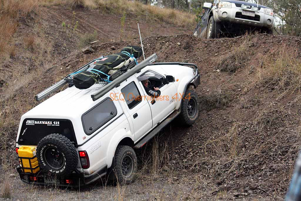
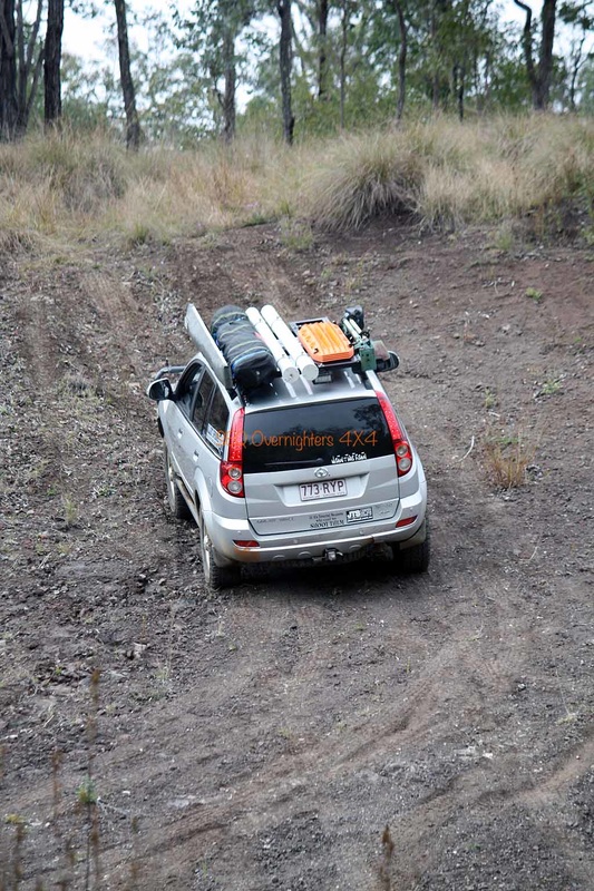
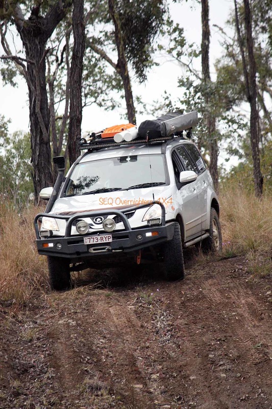
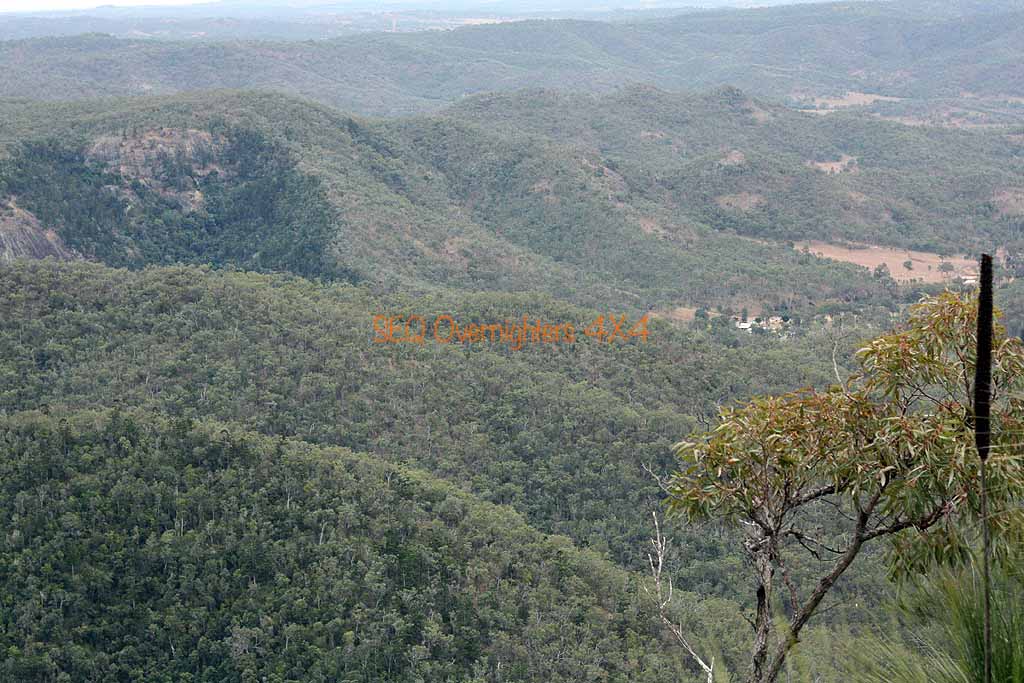
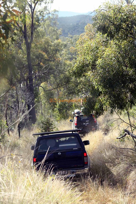
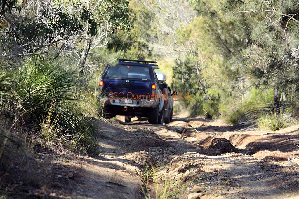
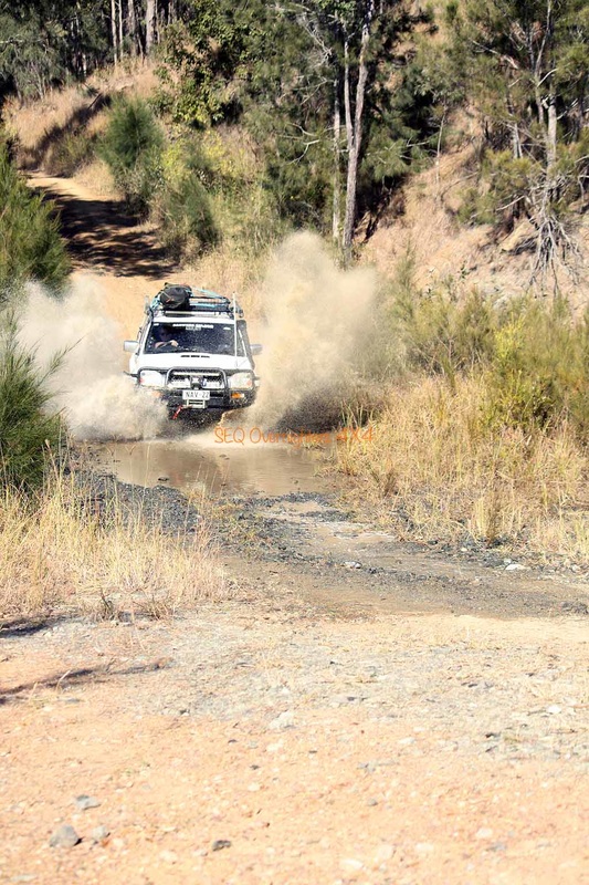
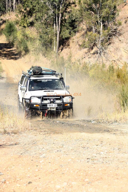
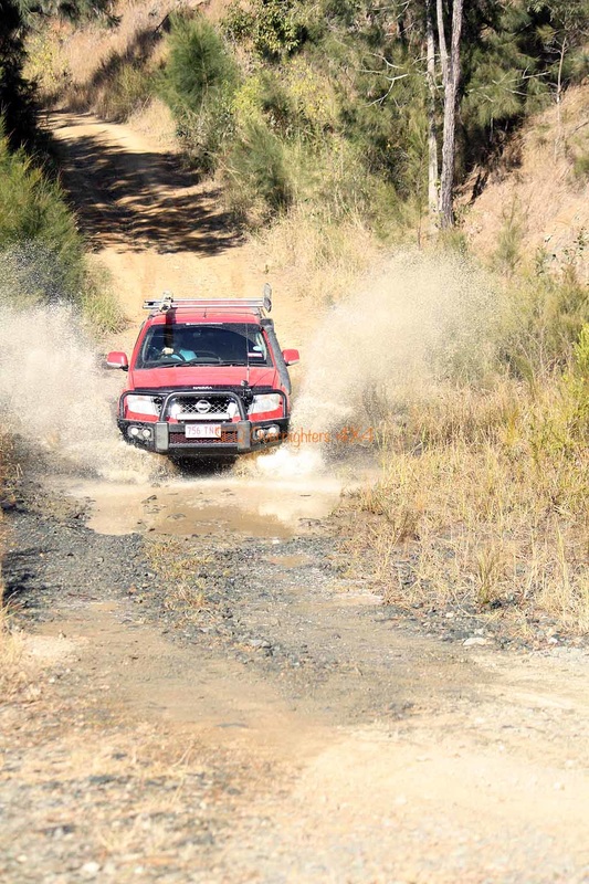
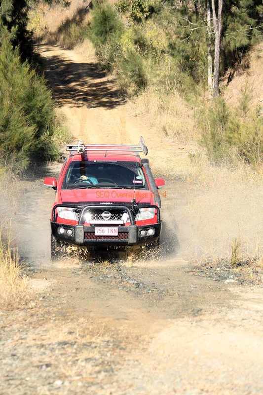
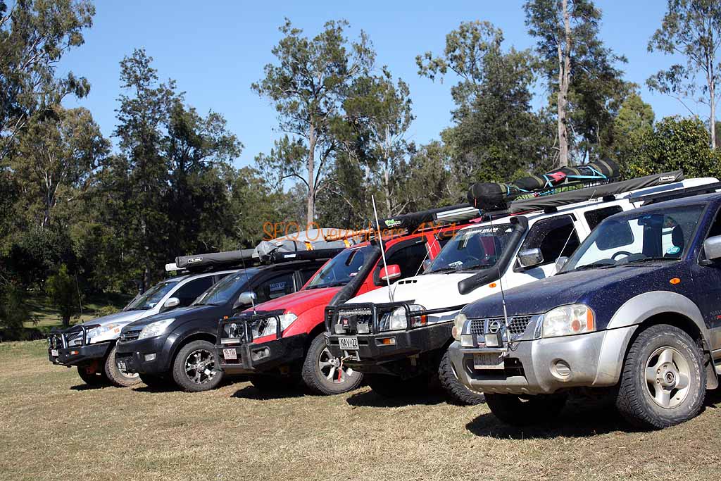
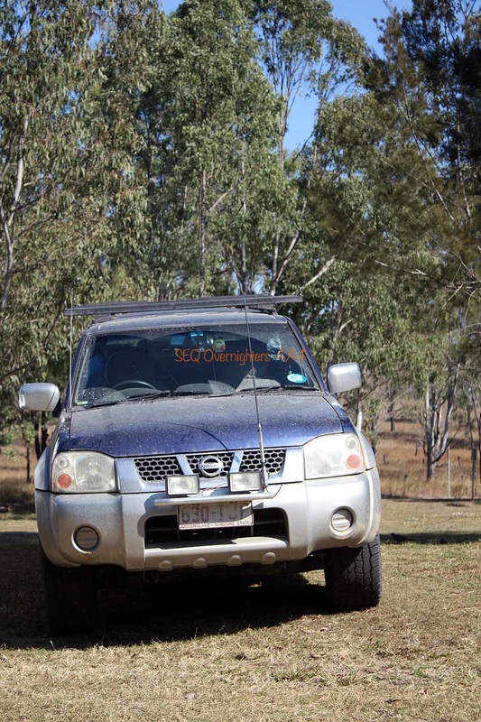
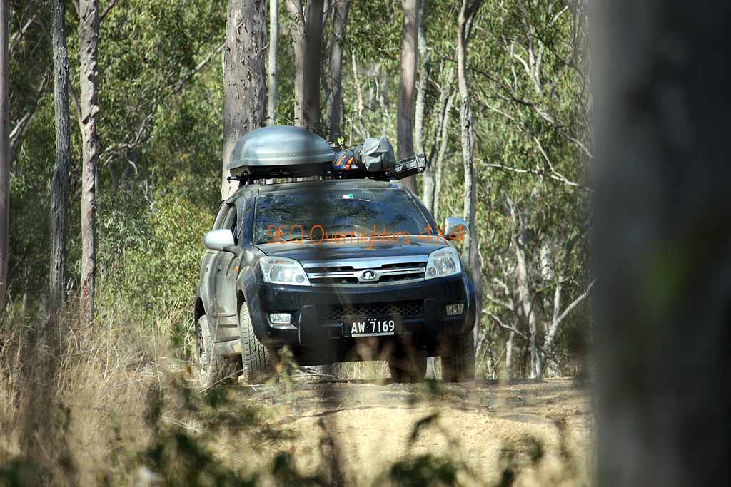
 The entire trip was only completed by 2 of the 5 vehicles.
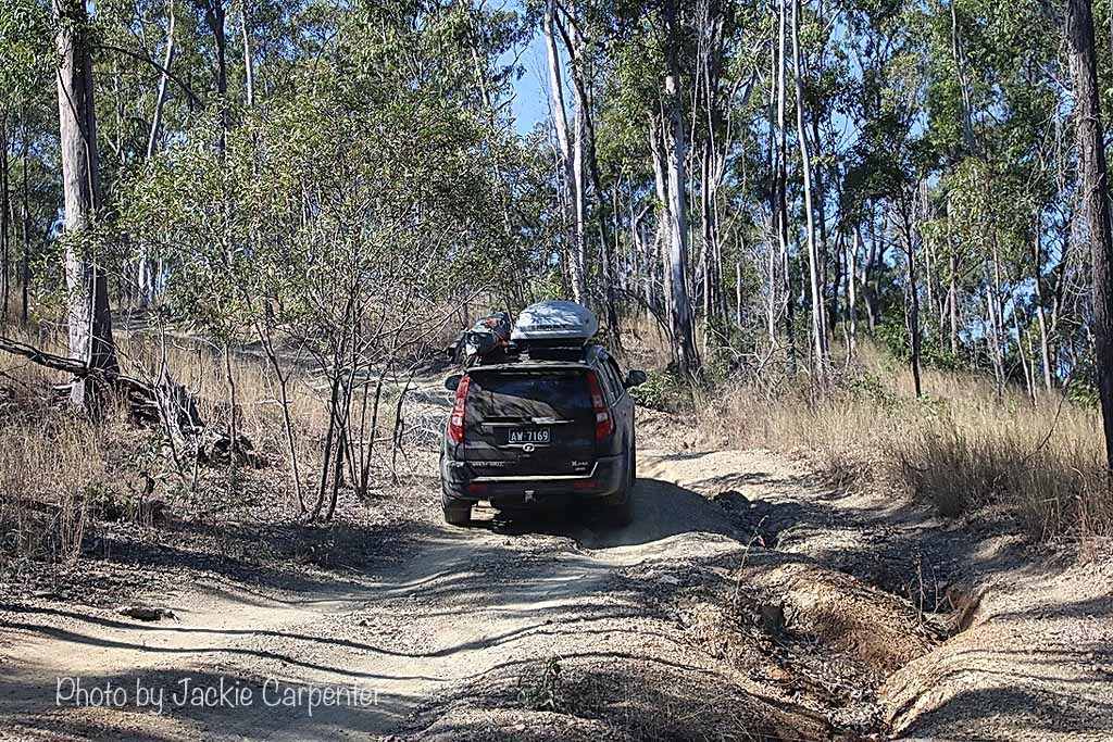
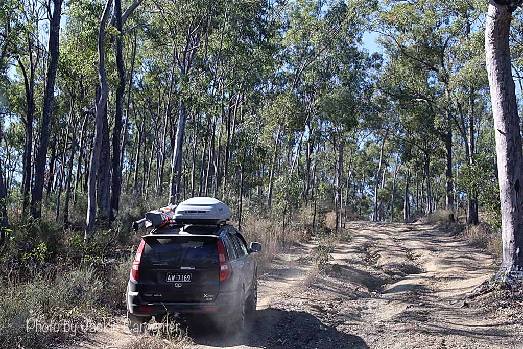
Click to enlarge.
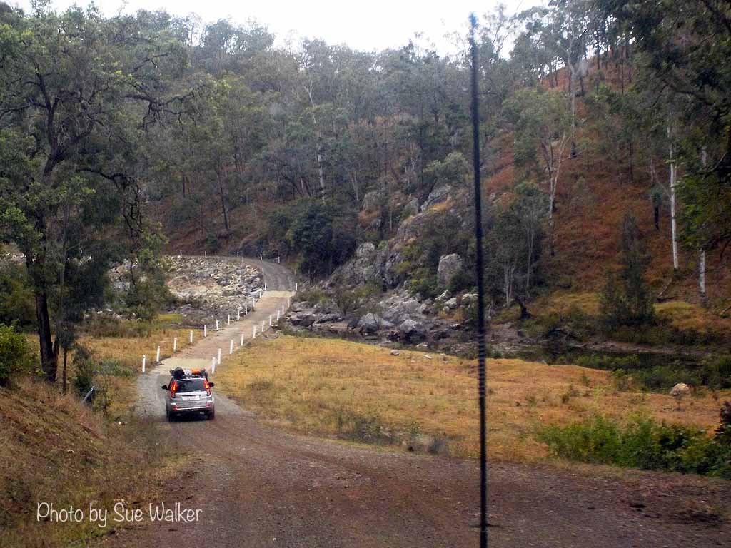
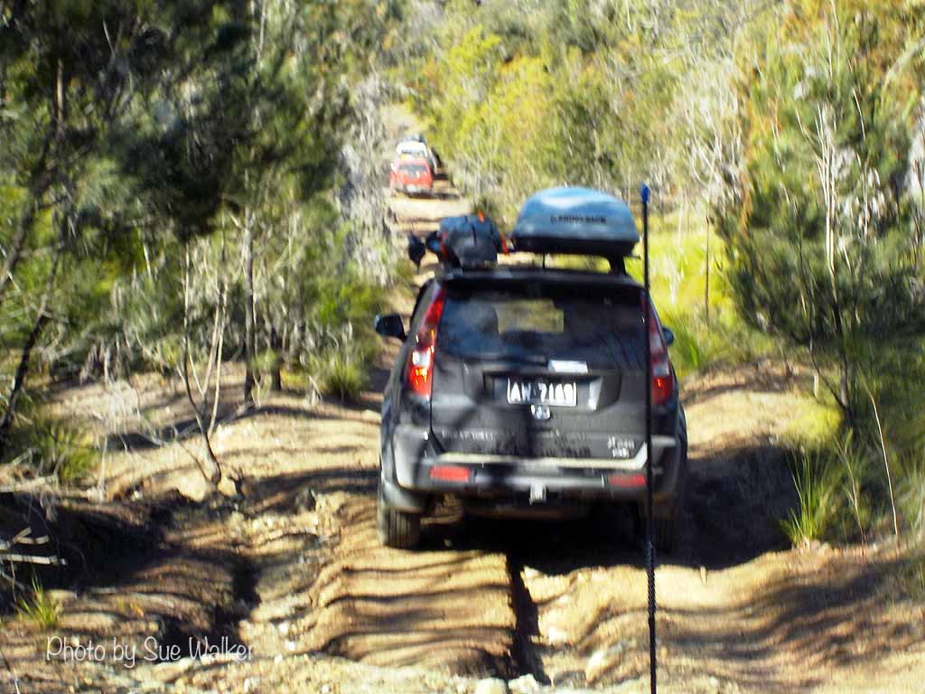
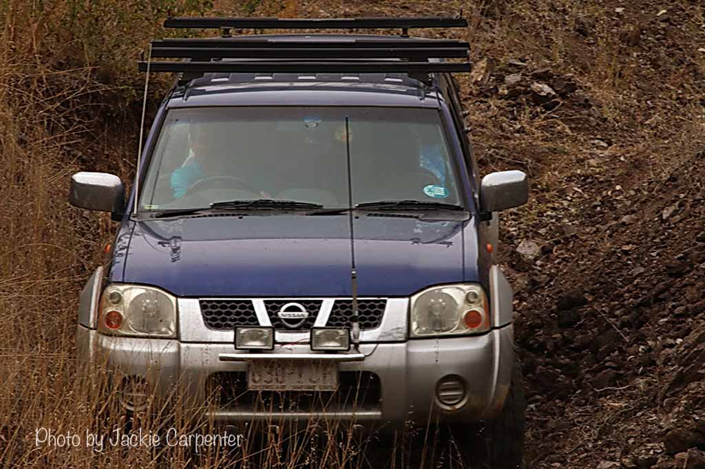
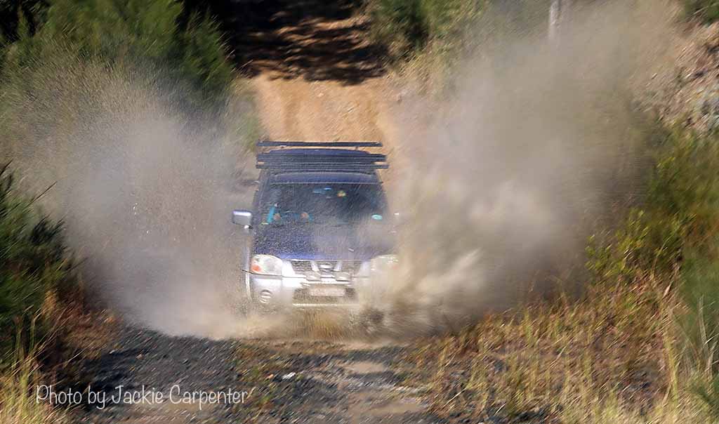
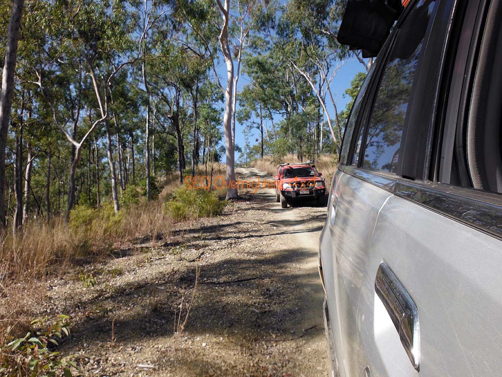
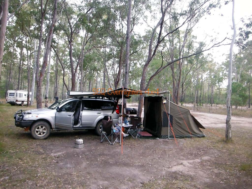
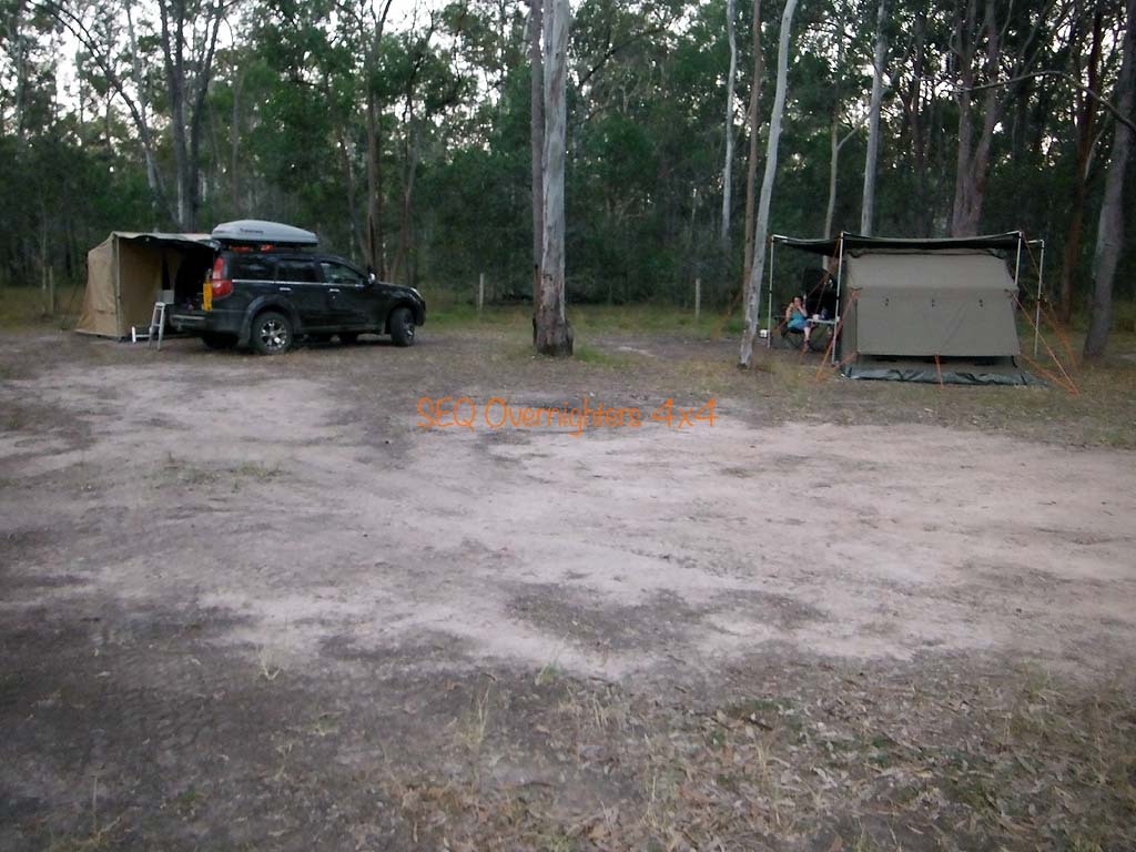
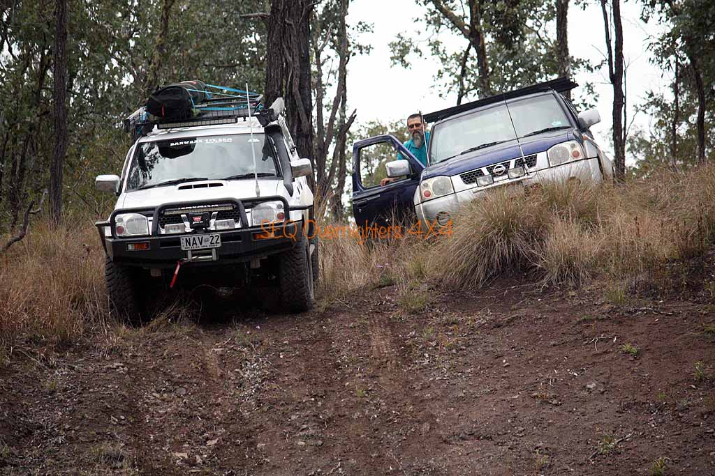
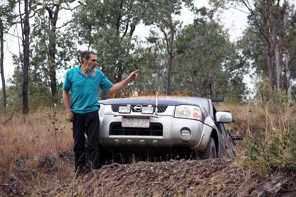
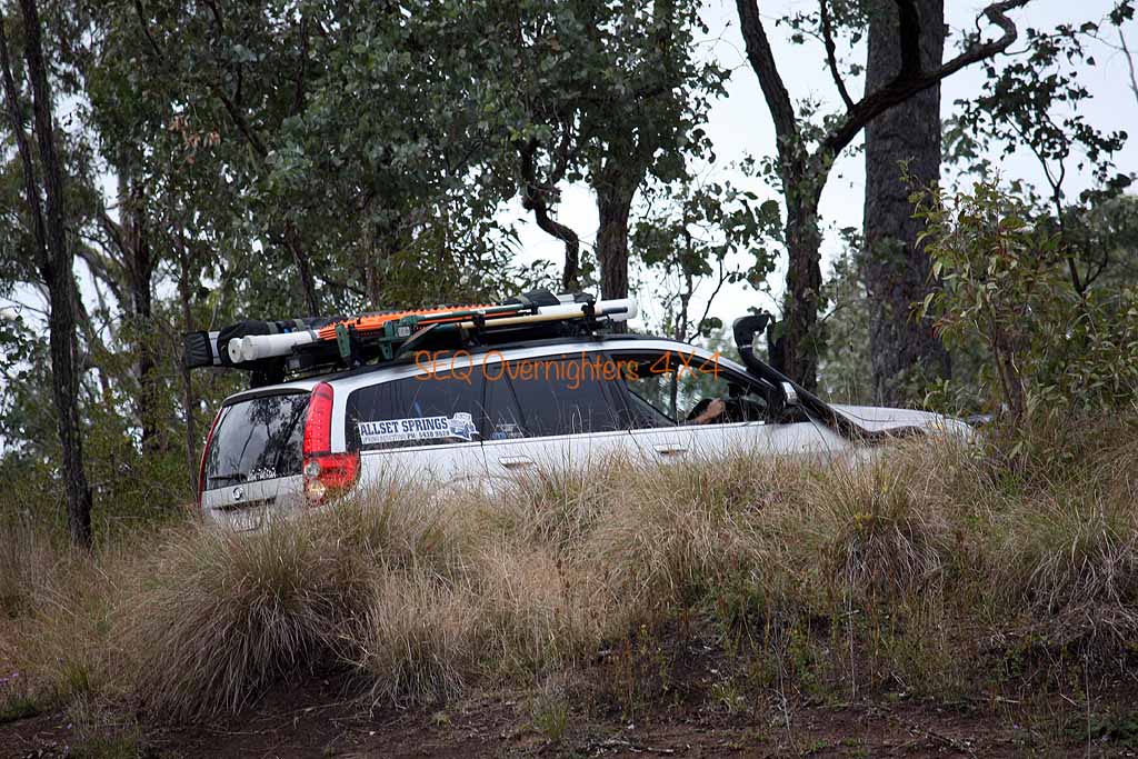
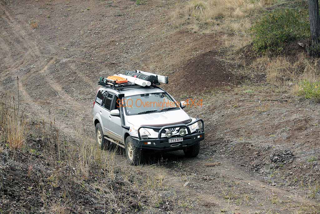
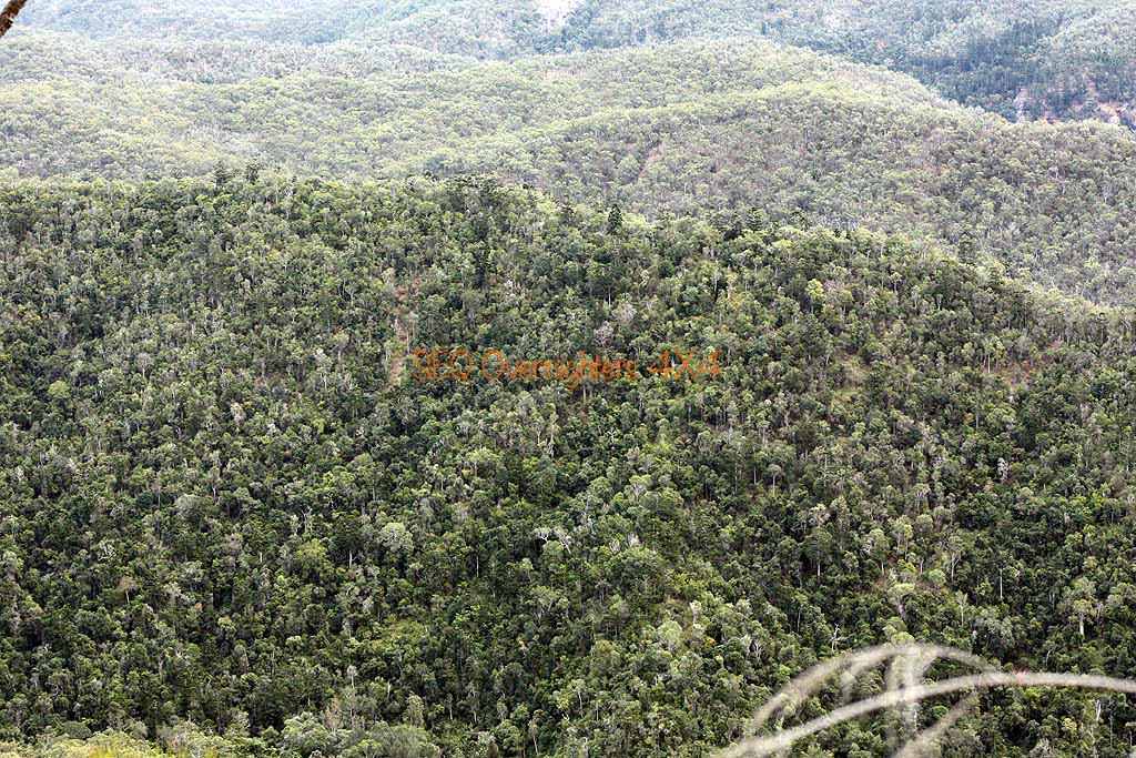
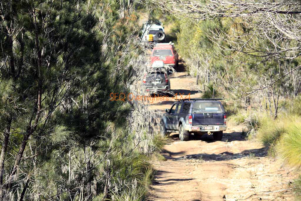
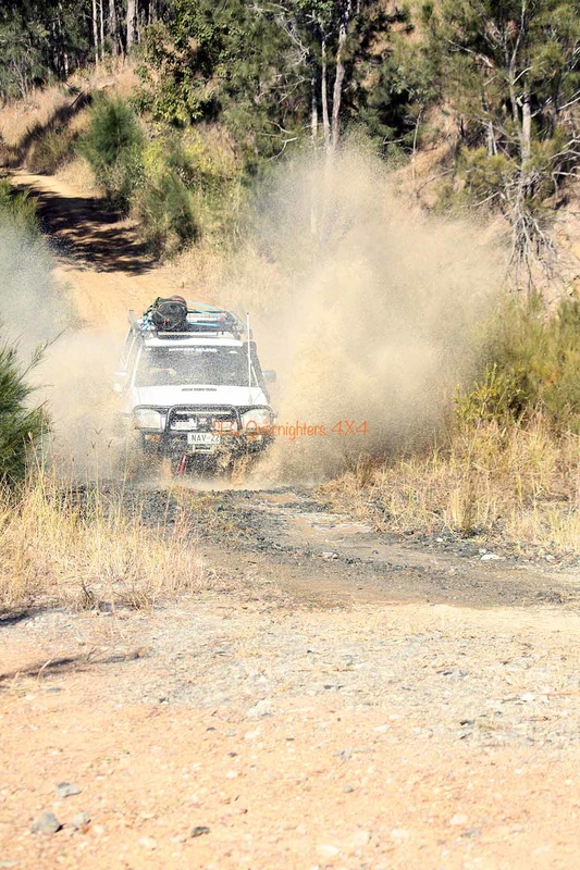
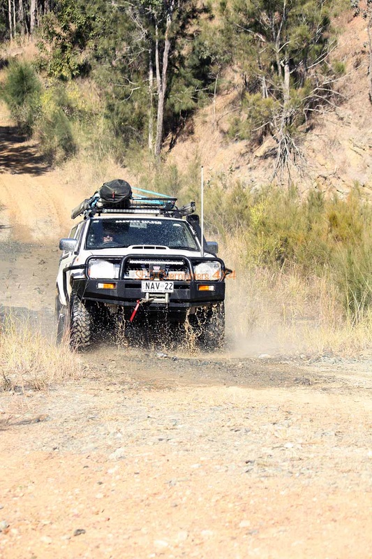
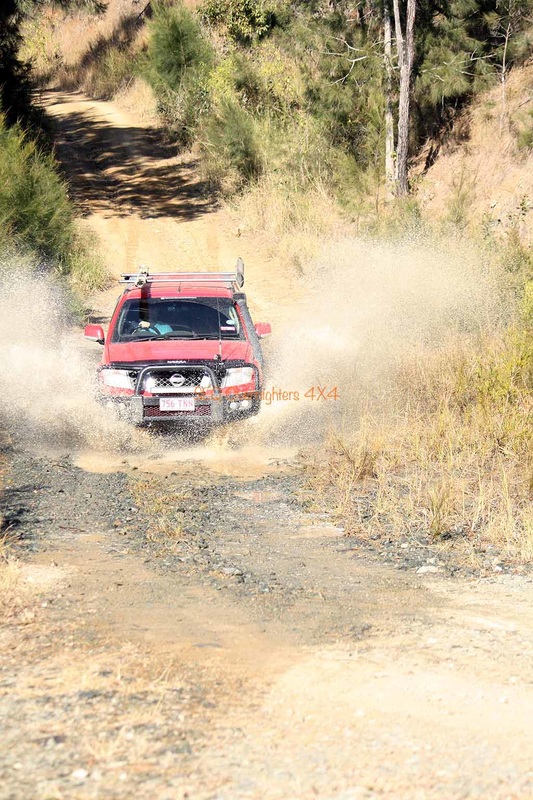
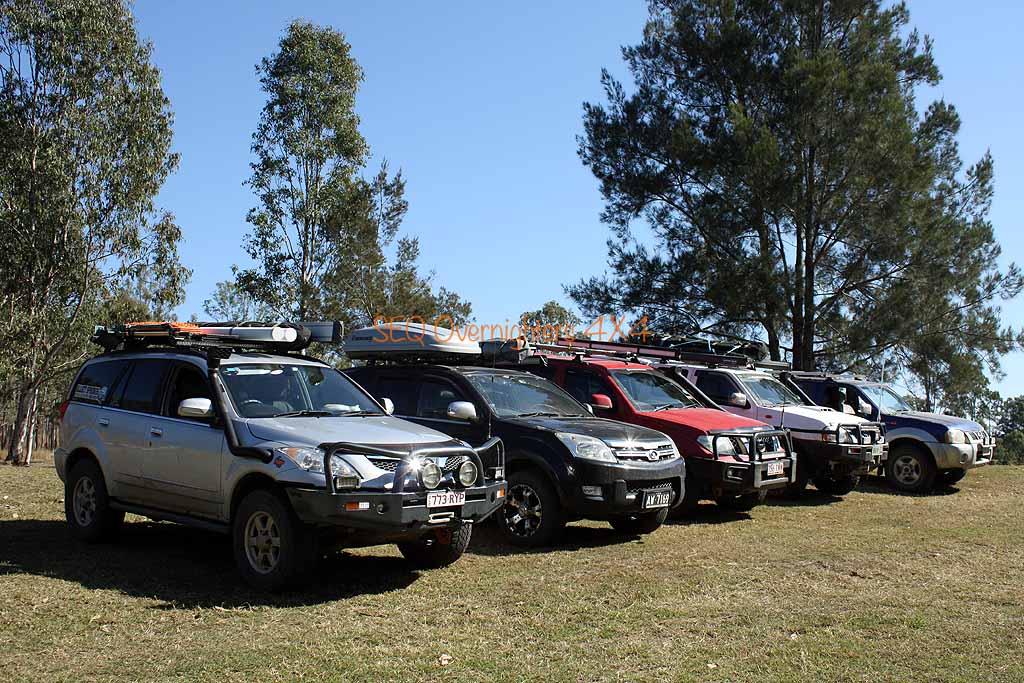
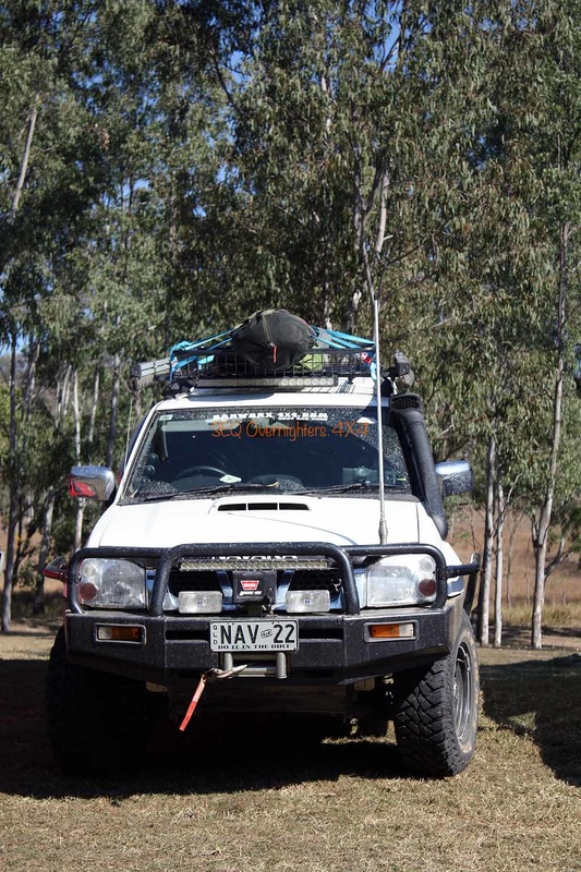
The entire trip was only completed by 2 of the 5 vehicles.
Click to enlarge.
July 25th to 27th 2015.
HEMA App Track Stats:
Kilcoy to Kilkivan track distance - 202kms.
Kilkivan to Wongi track distance - 146kms. (includes morning local play)
Track total (does not including getting to Kilcoy or getting home) - 348kms.
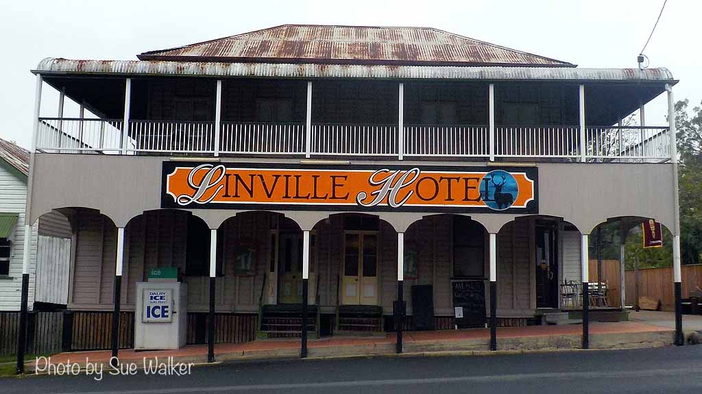
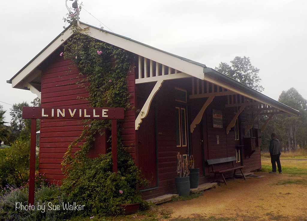
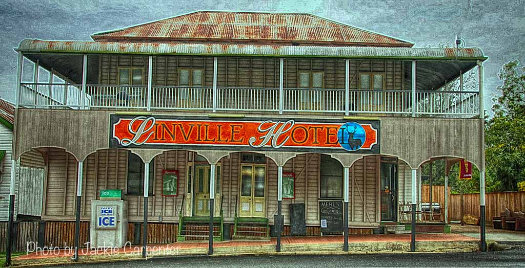
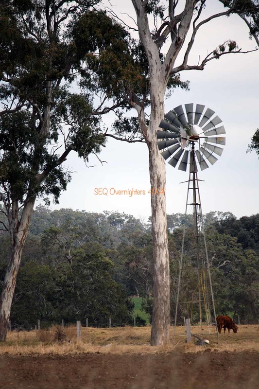
Well, what a great weekend again. After meeting in Kilcoy at 7am as arranged, we departed on schedule and headed west toward the town of Moore where we made a right hand turn to travel North to our first stop at Linville.
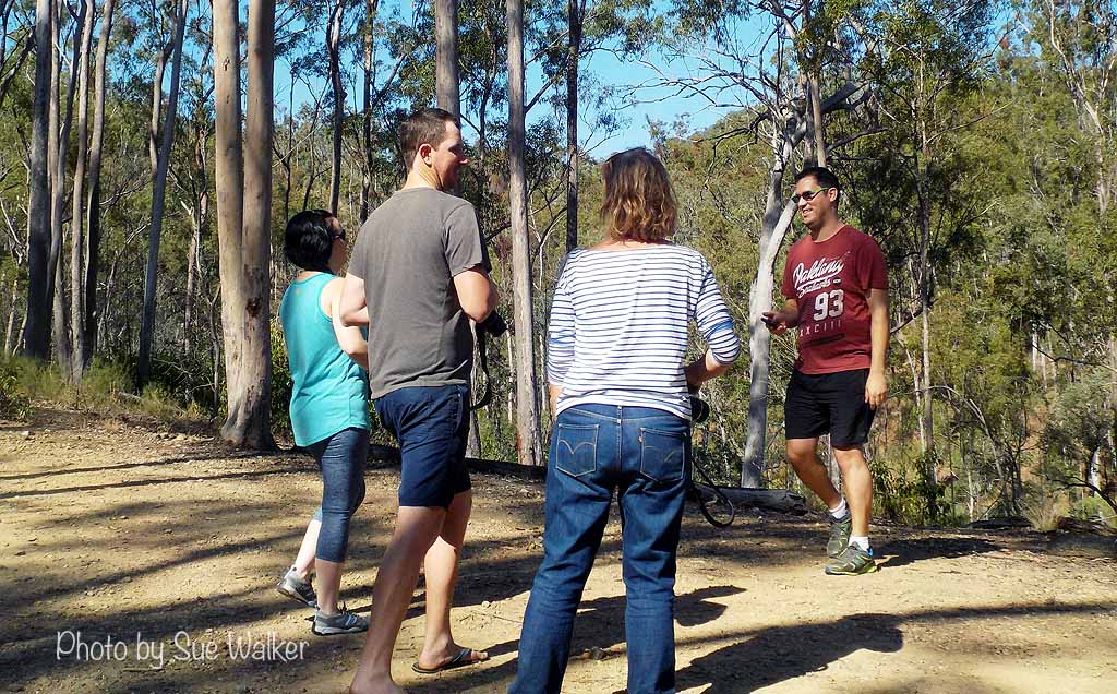
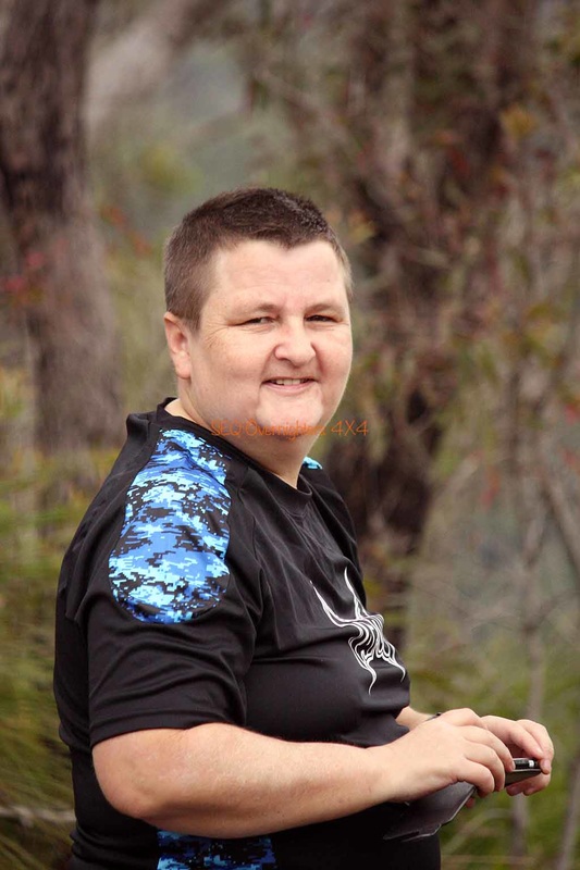
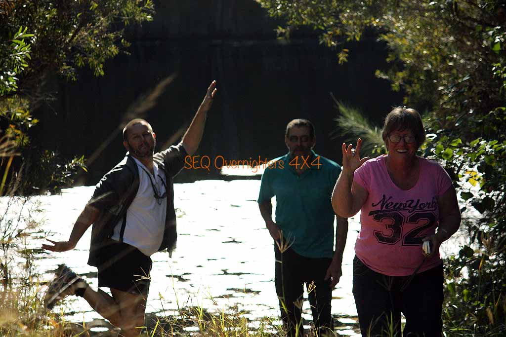
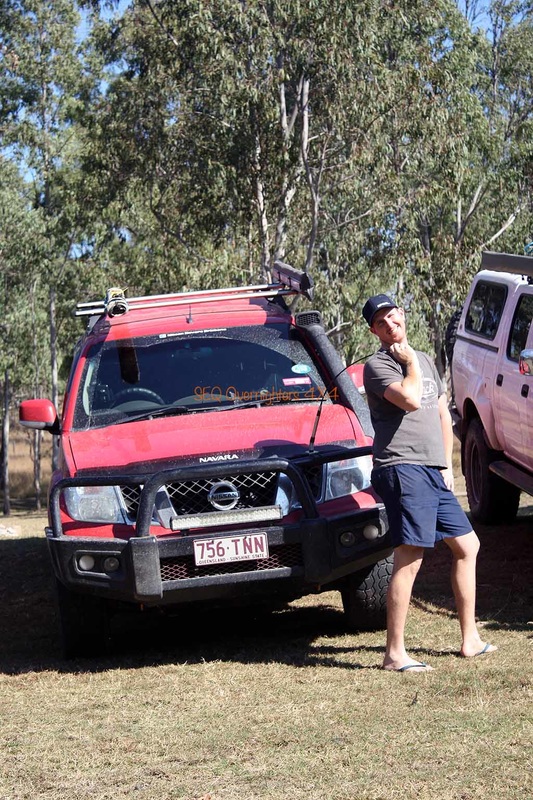
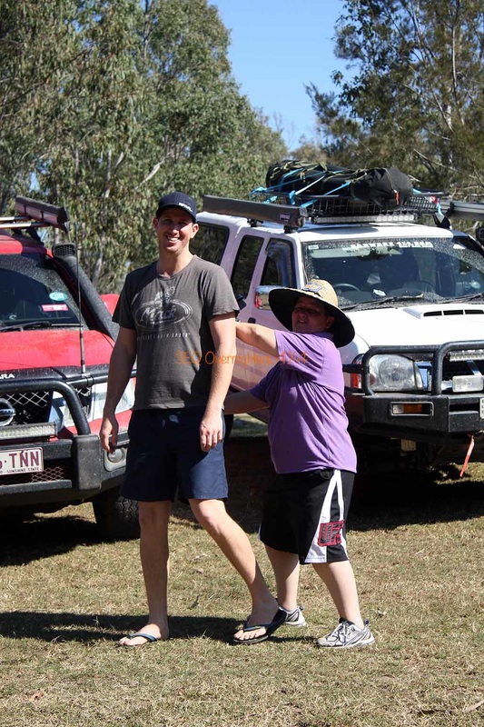
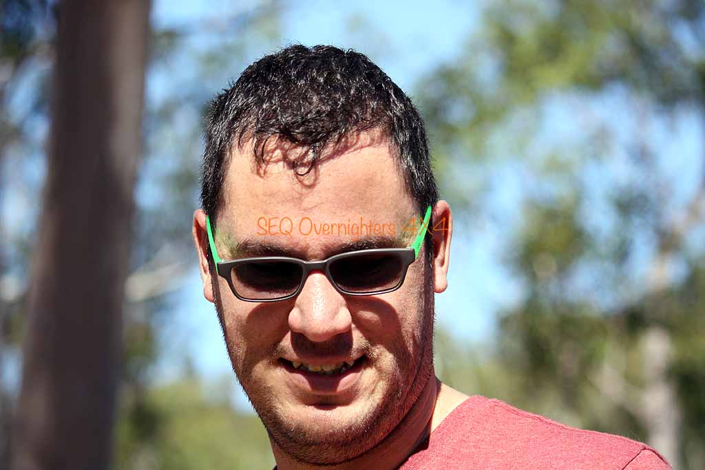
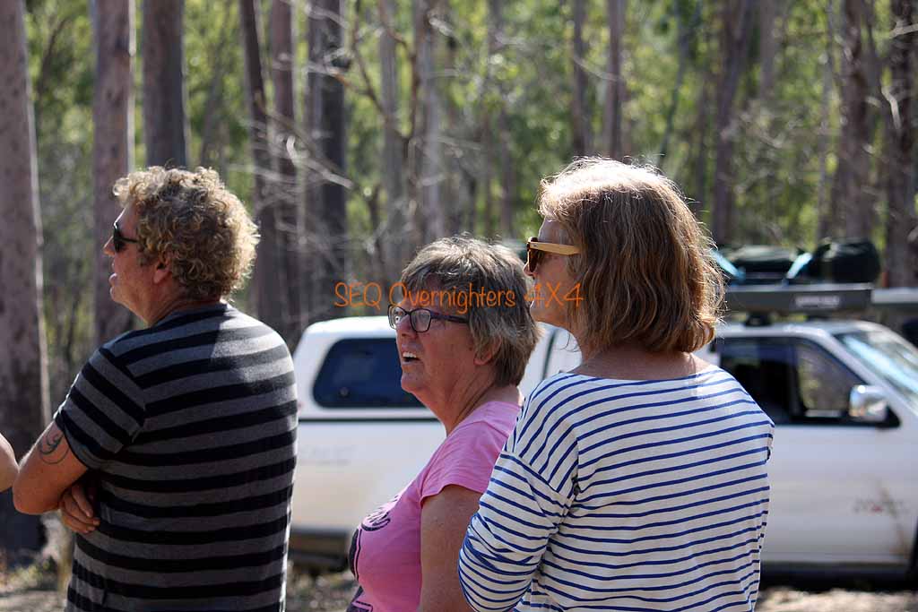
On this trip we were expecting 10 to 12 cars but.. stuff happens and some folk had to pull out but we still had 5 cars and 9 people. We had Graham & Jackie, Brad & Gavin, Sue & Gary, Alison, and Kate & myself. The header image above shows a group shot from Sunday morning after we packed up camp.
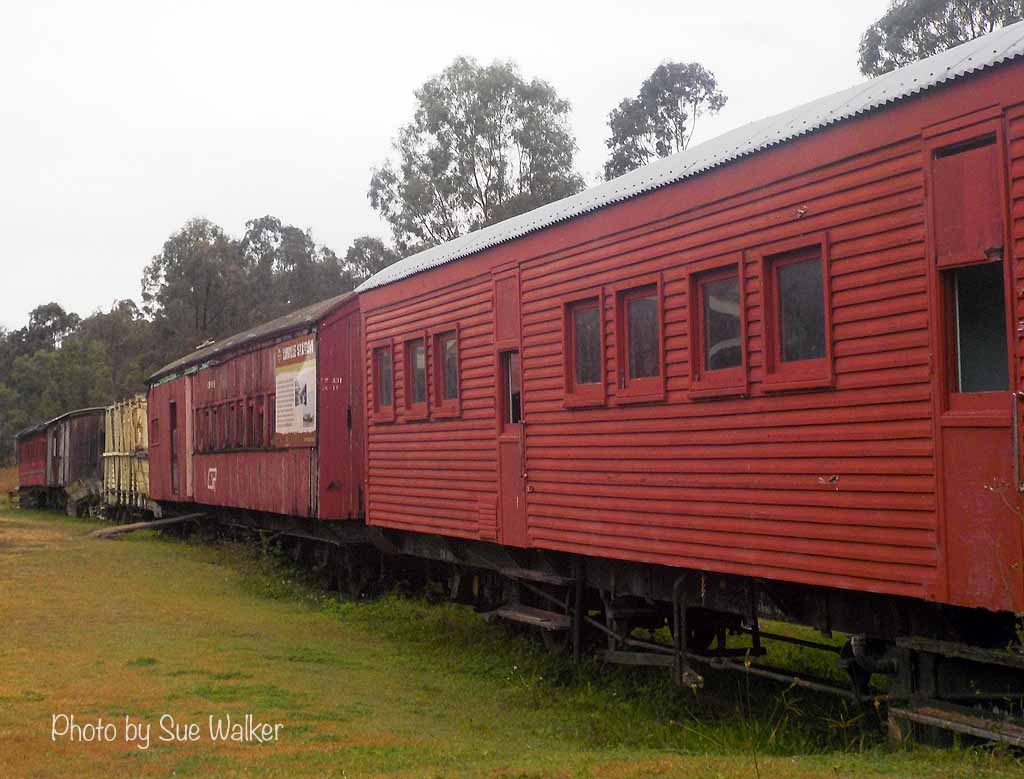
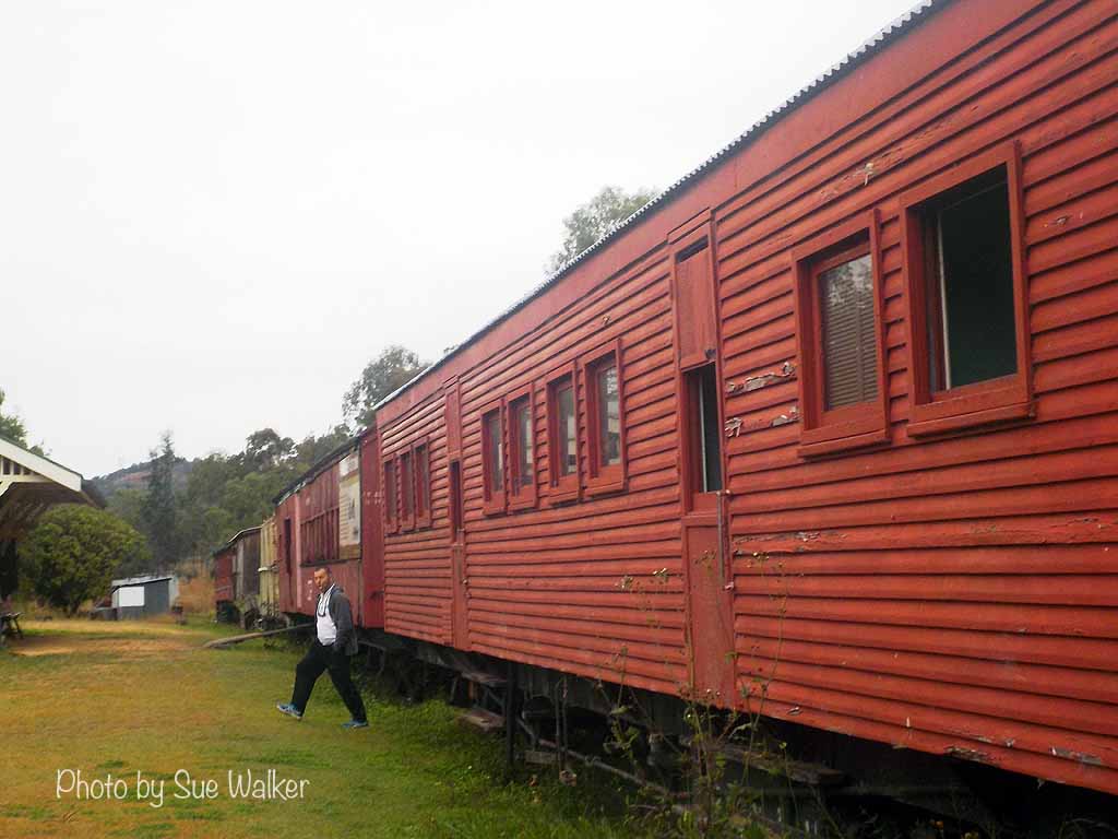
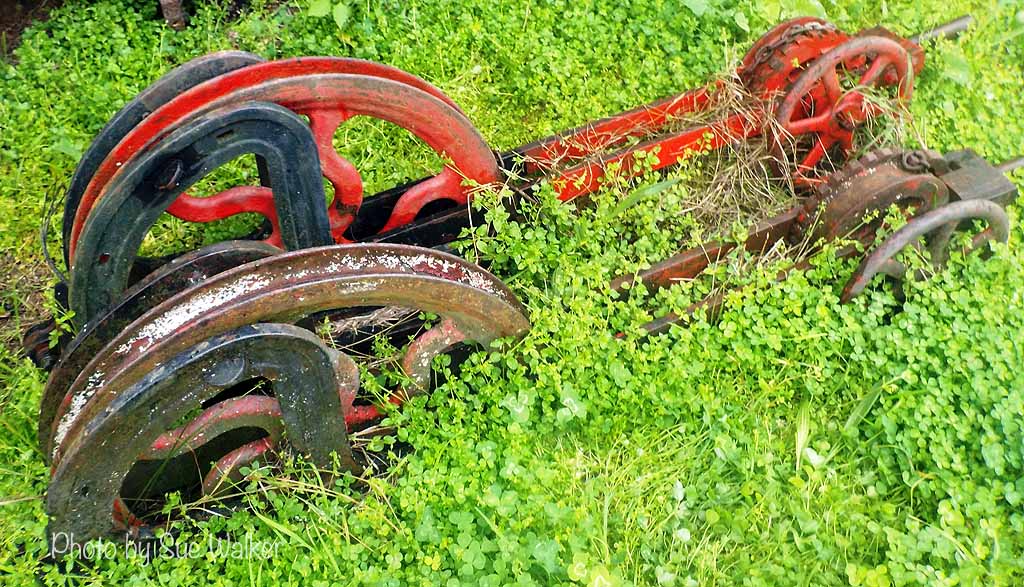
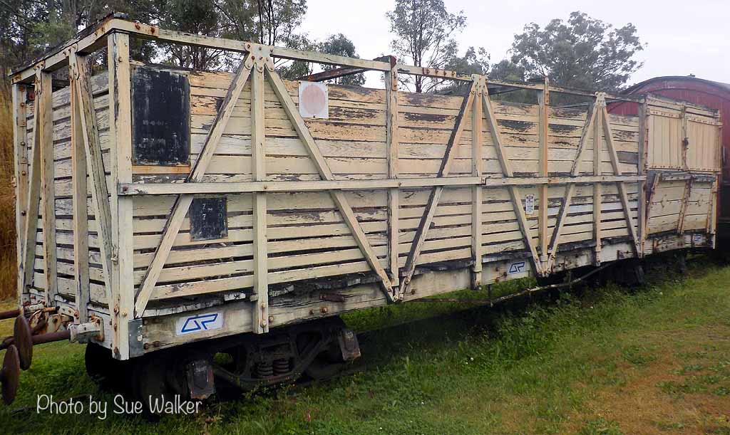
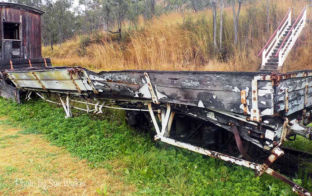
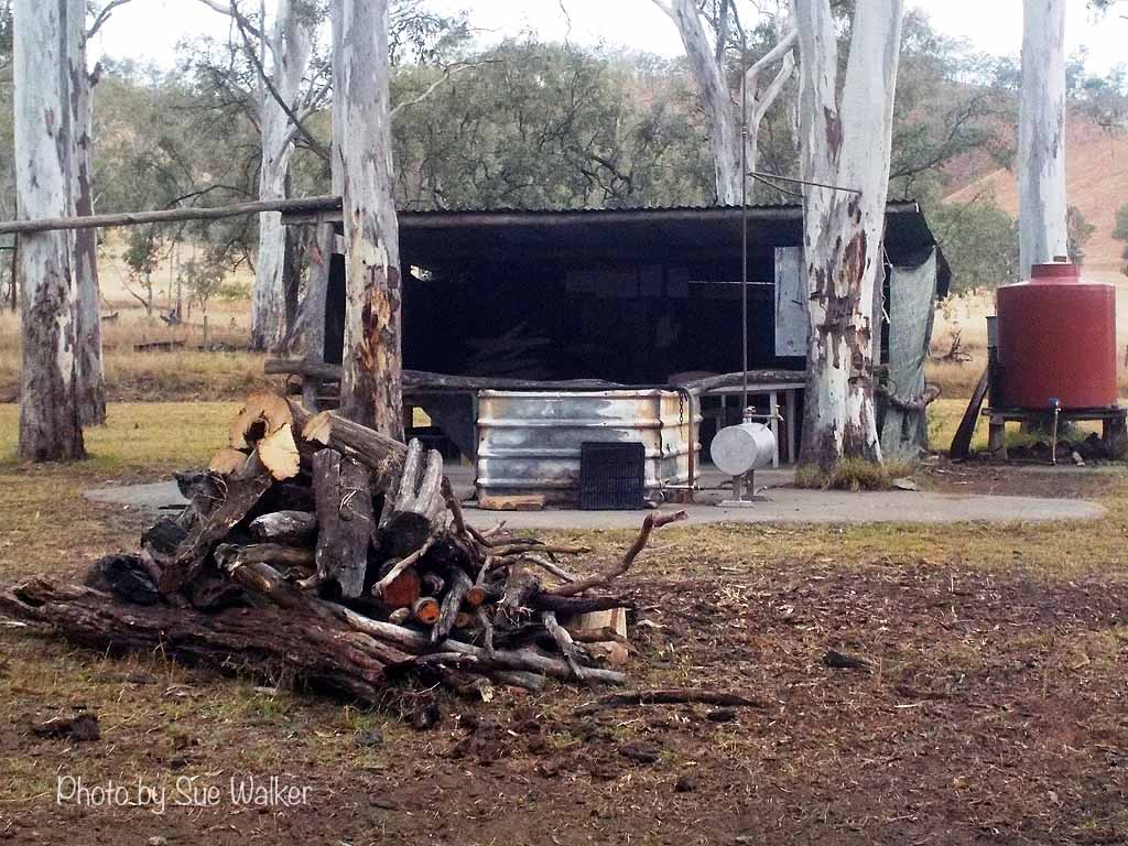
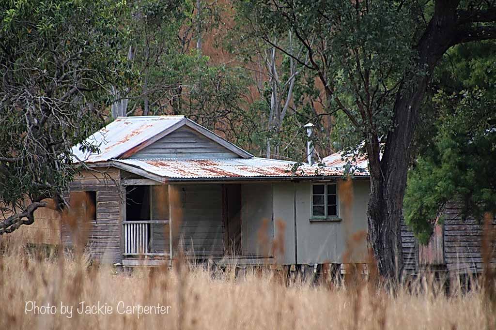
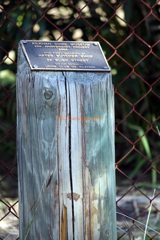
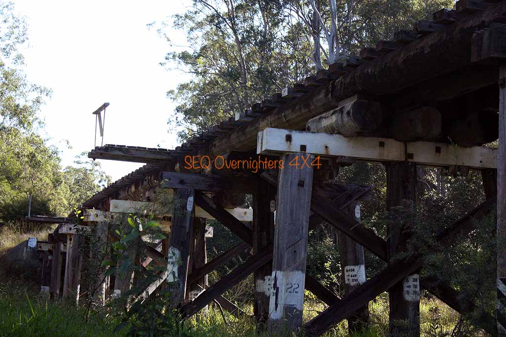
There is an old railway station here and about 50 metres of track with a few old carriages to look at. The site was used to load and transport timber via rail during the logging days and is now a popular "free overnight camping" spot.
It is also the start of a journey that can be taken on foot, by horseback, or by bicycle along the old rail route now known as the "Brisbane Valley Rail Trail" or the "Brisbane Valley Heritage Trail". Many more images from this spot can be seen on the trip report from our first trip to this location "here".
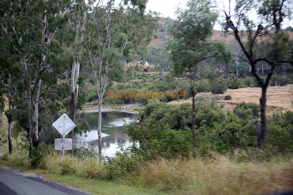
After a short stay we continued North toward Mount Stanley where the road forks. The upper Brisbane River splits into an east and west branch here and we followed the Eastern Branch to a private camping spot where we had morning tea and took a few snap shots.
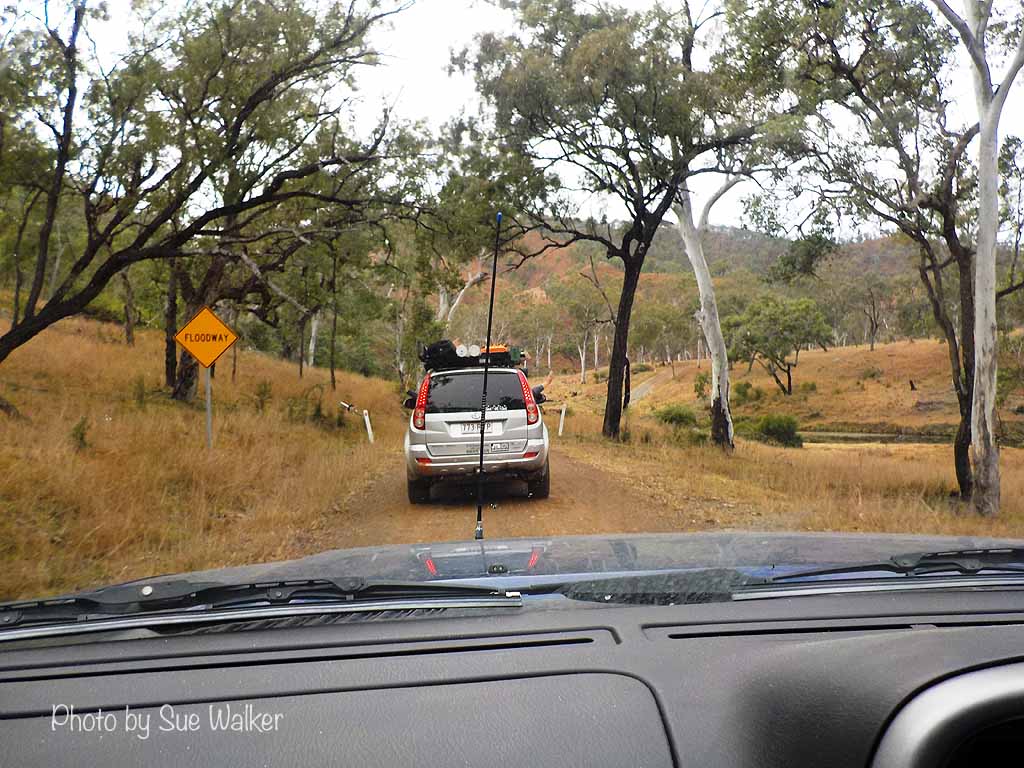
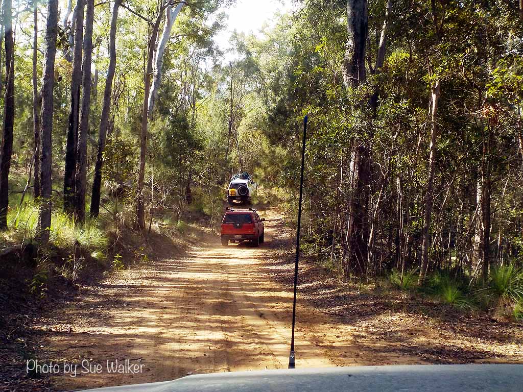
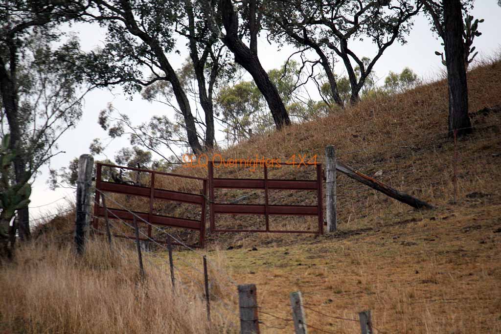
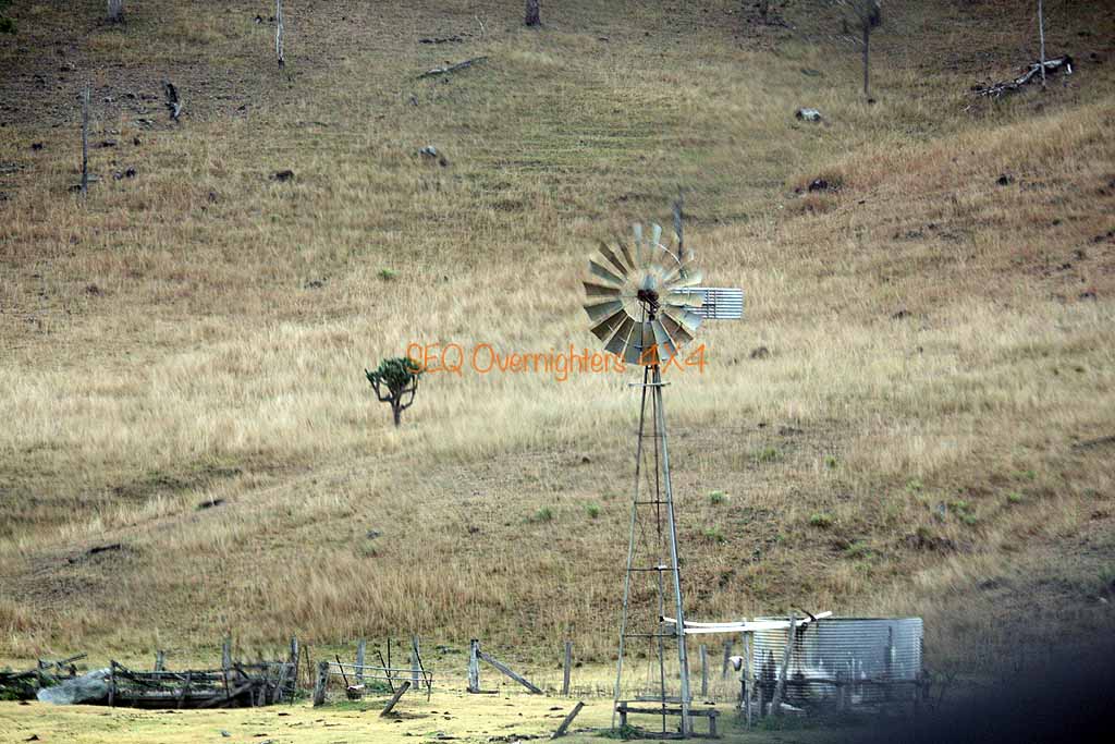
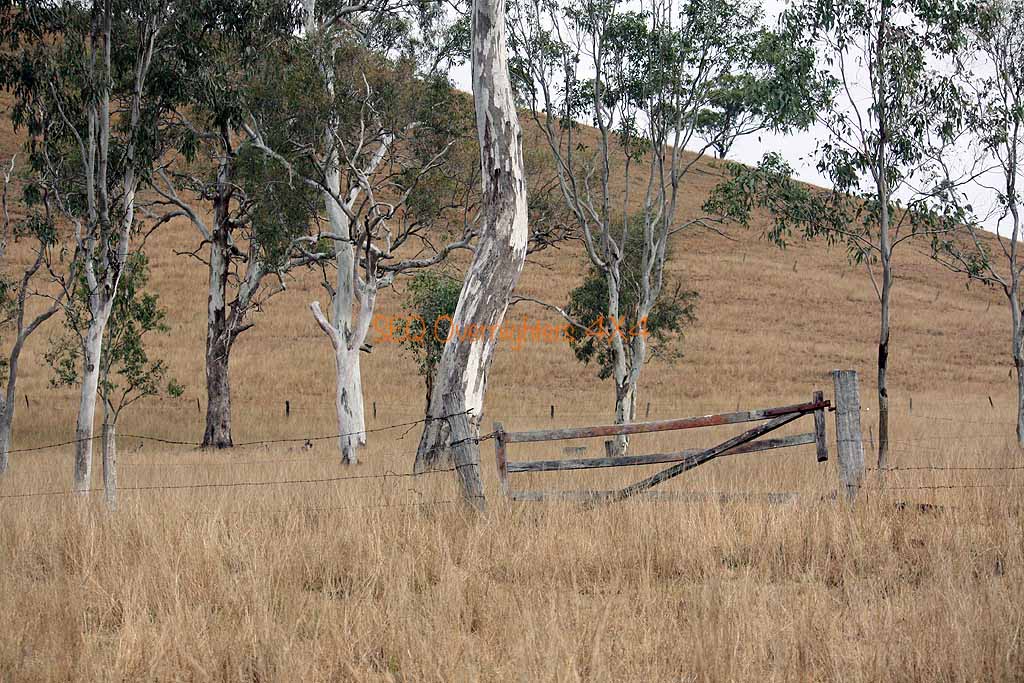
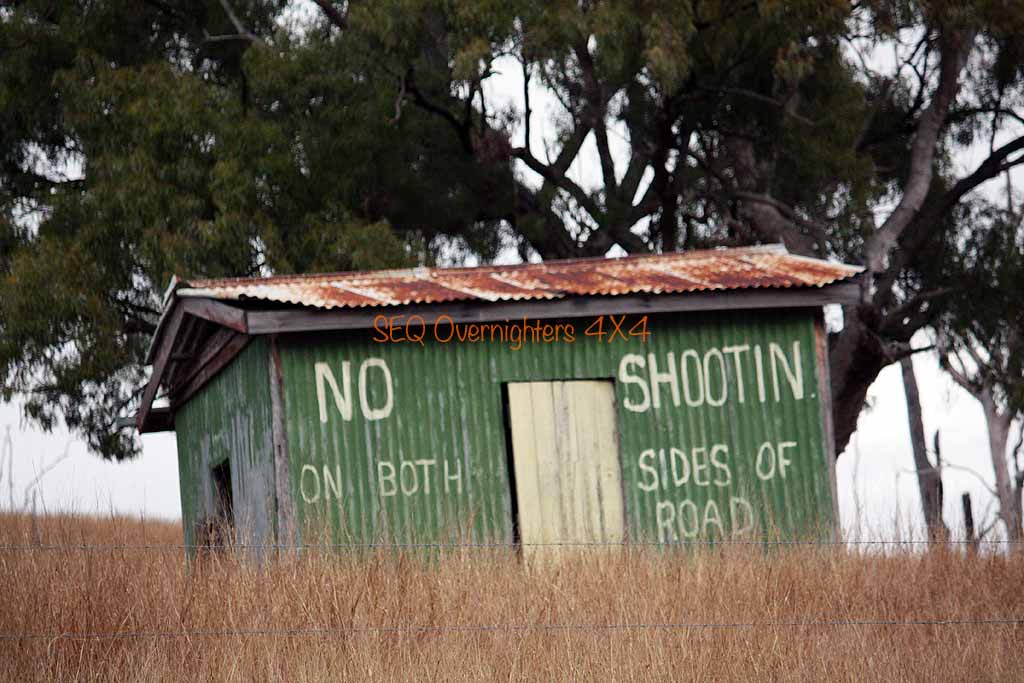
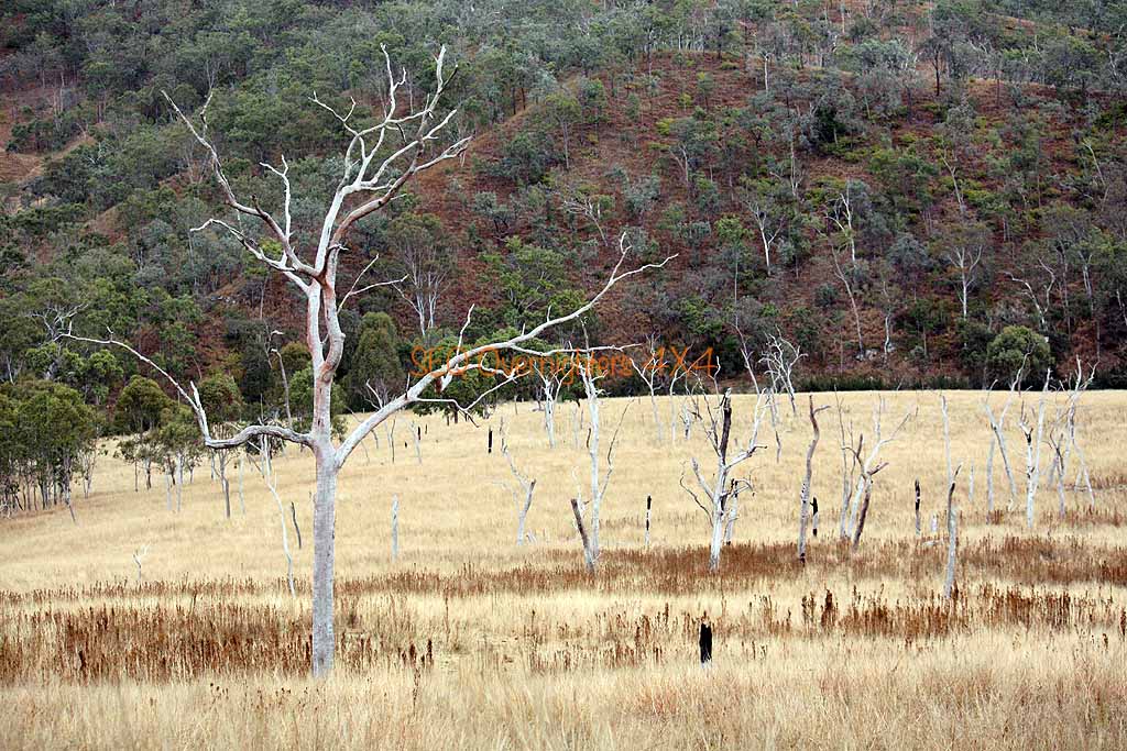
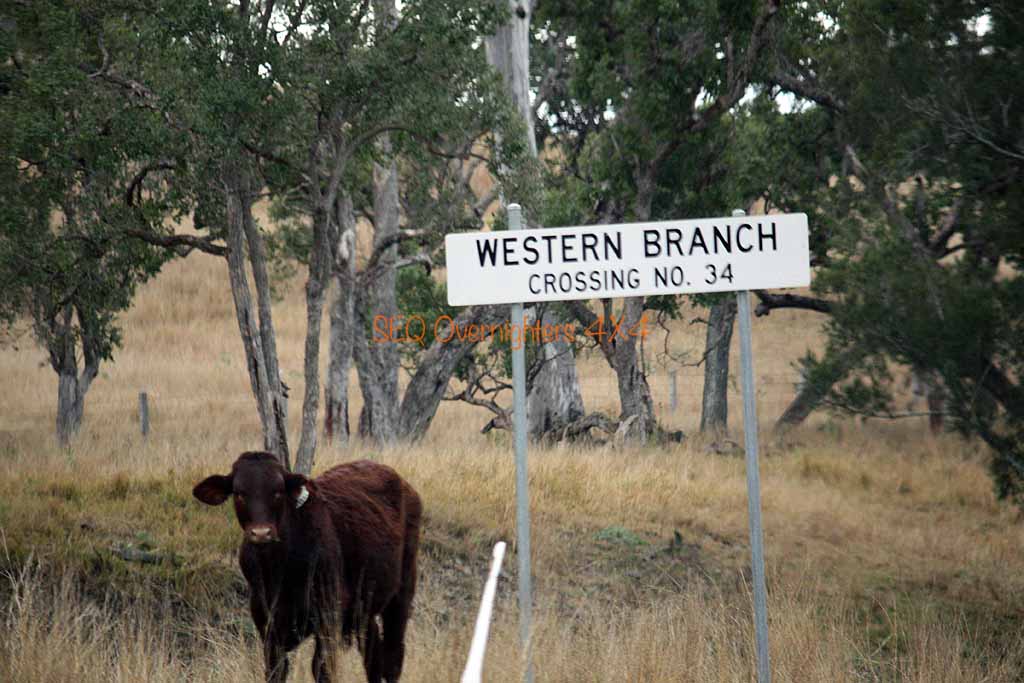
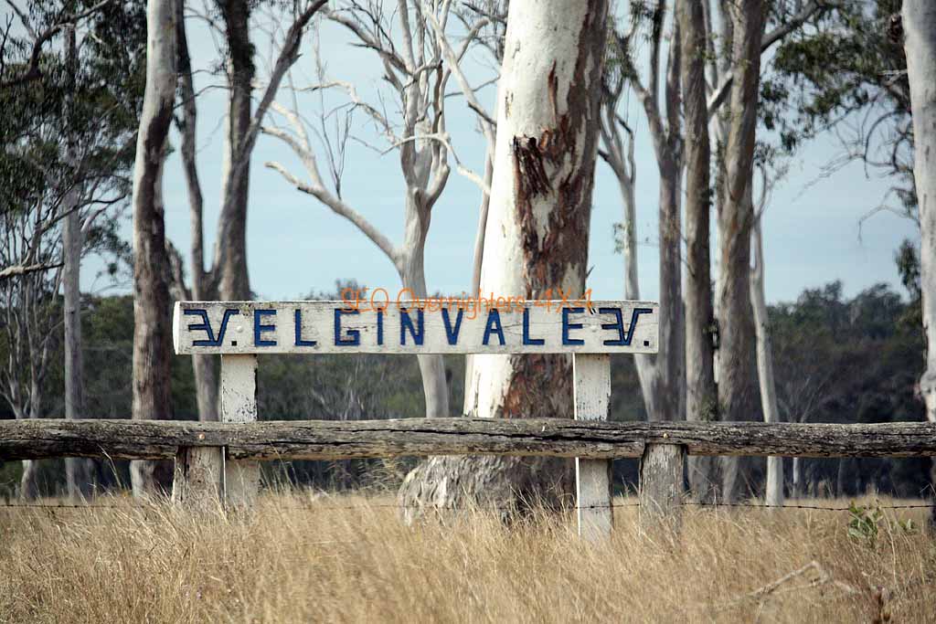
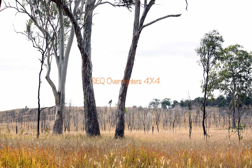
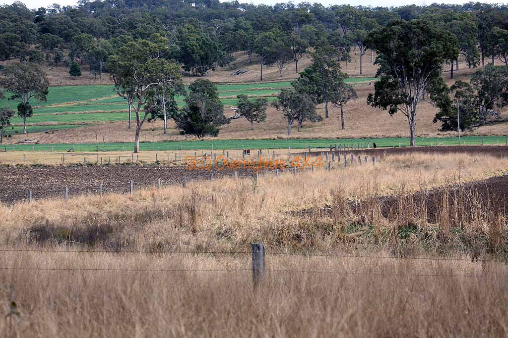
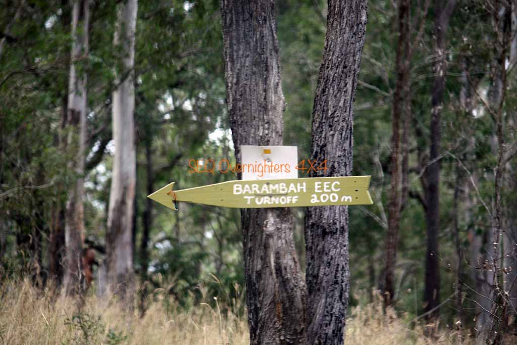
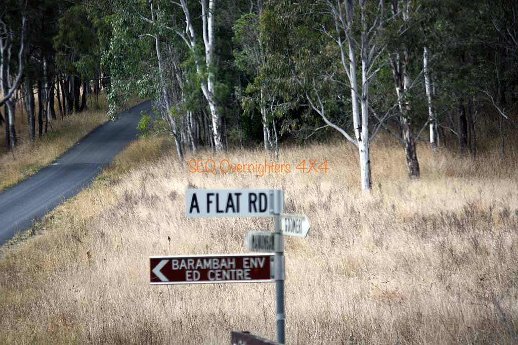
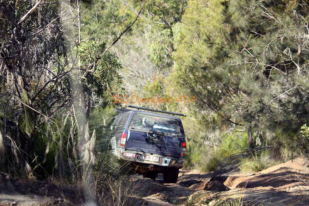
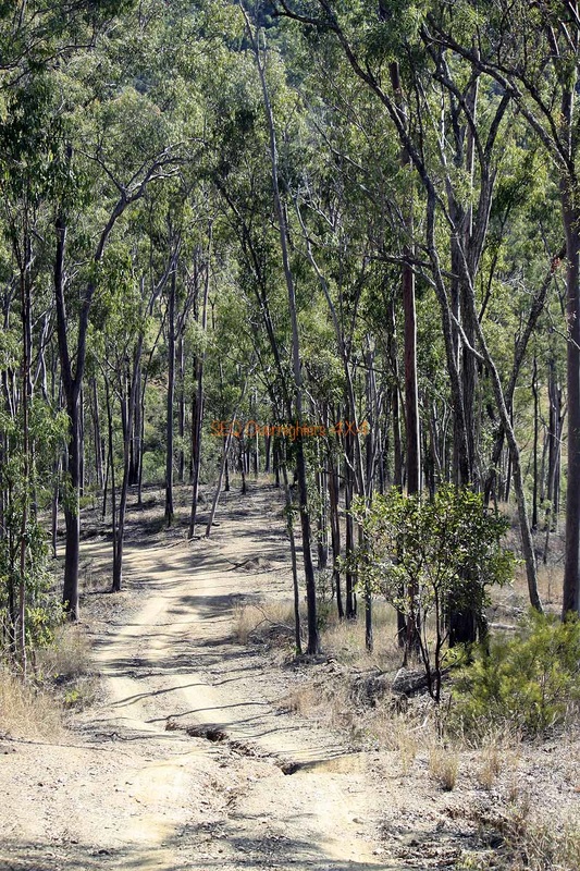
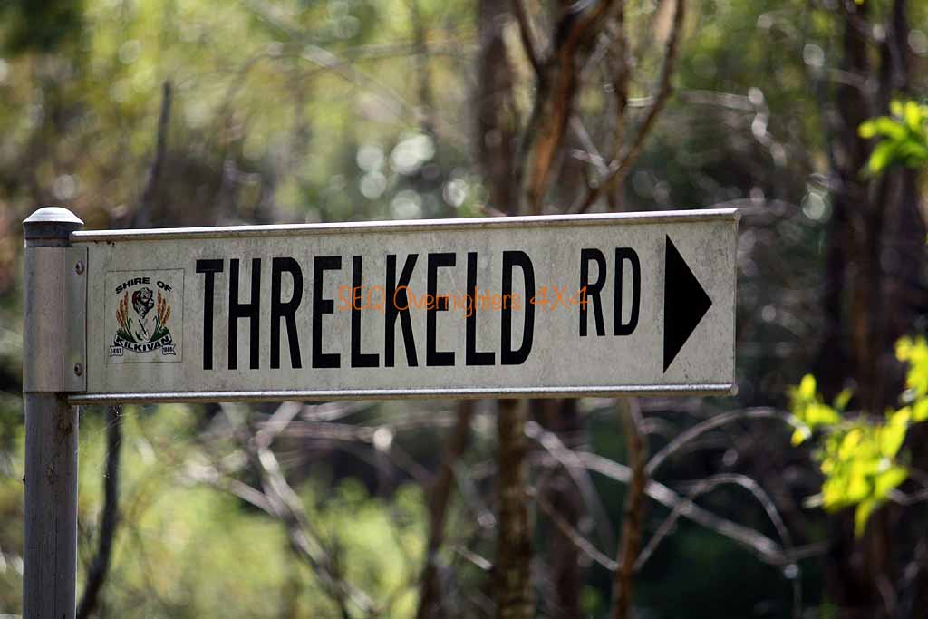
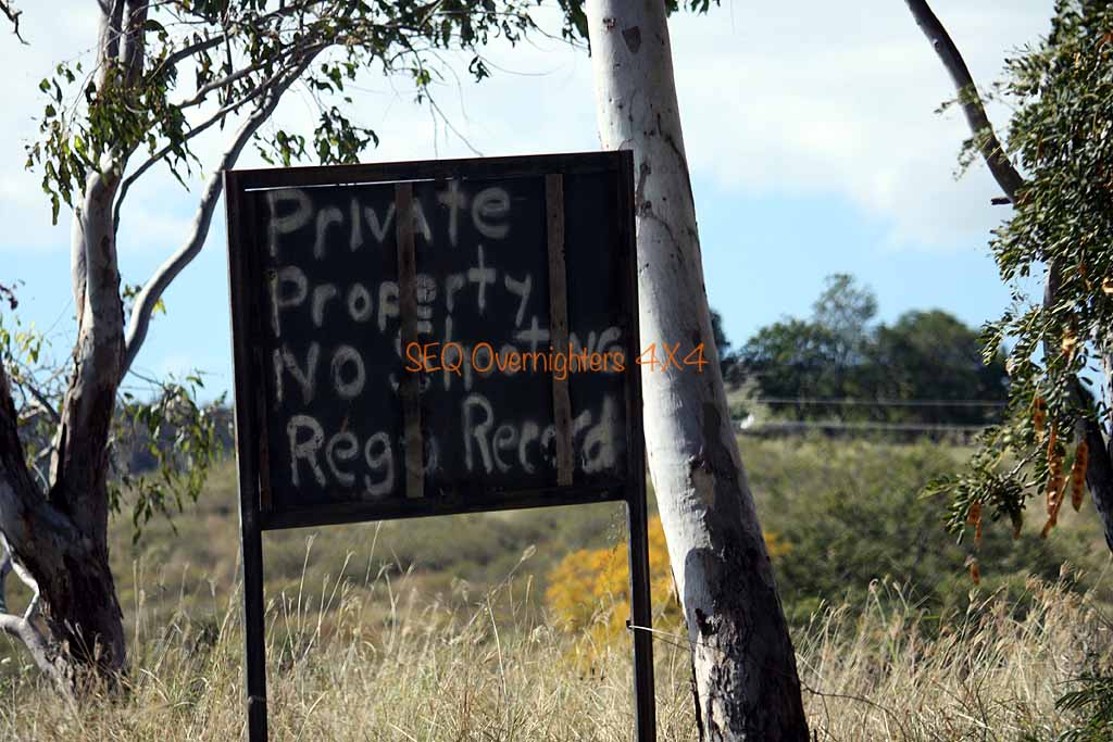
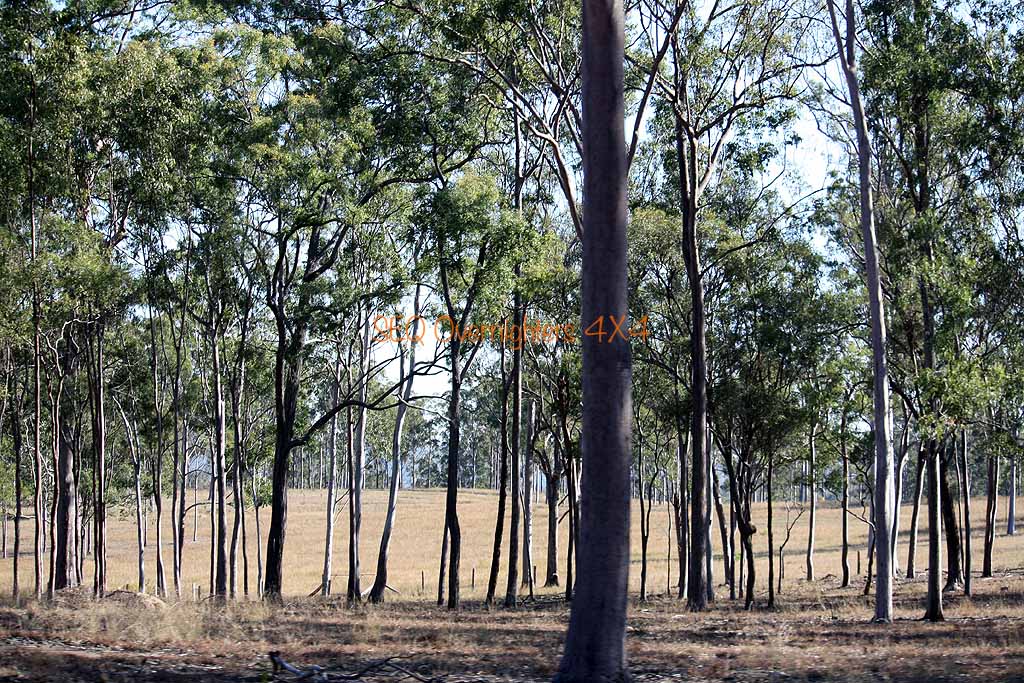
Backtracking to the fork in the road we then made a right turn onto the Western Branch Road and continued North on the western boundary of Mount Stanley Forest and Elginvale State Forest and eventually hit the black top again at Elginvale. This is more of a province than a township. Making a right onto the bitumen we continued for a while and turned left onto Kilcoy-Murgon Road (another dirt road) and travelled North to make another turn to the right and a few turns later found ourselves on Blacksnake Road and travelling through Wrattens Forest Reserve.
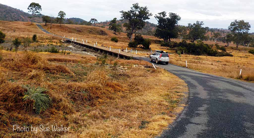
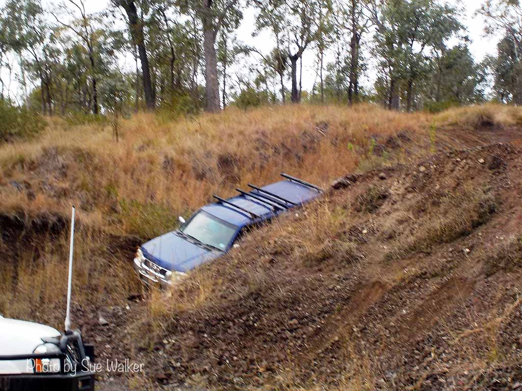
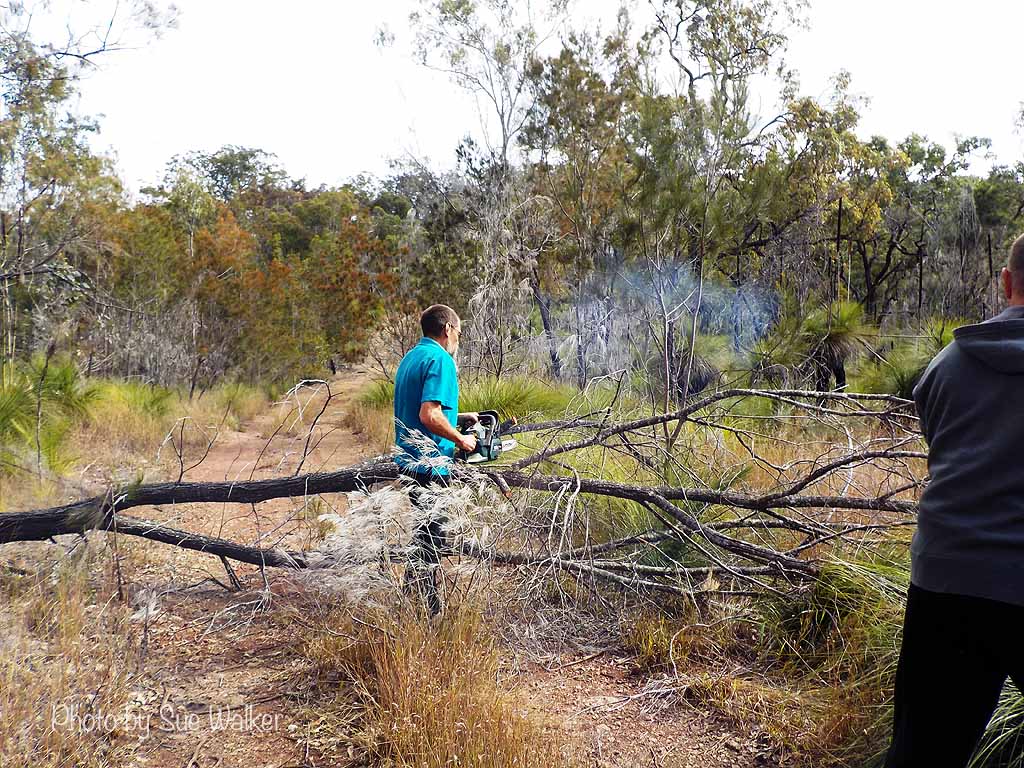
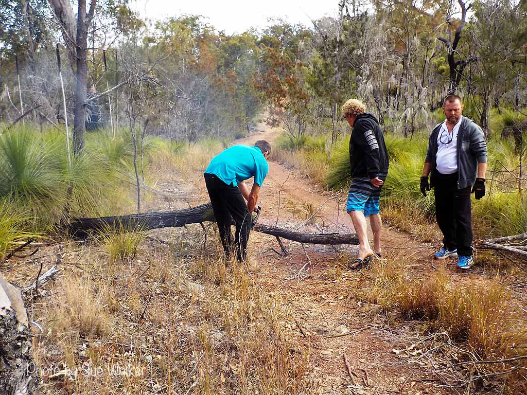
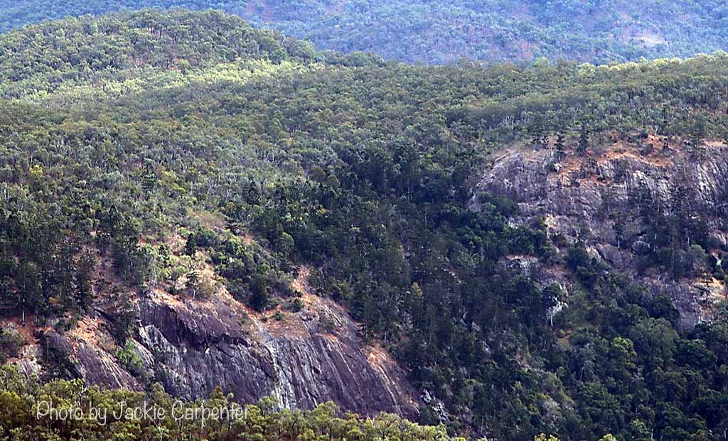
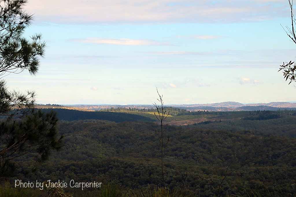
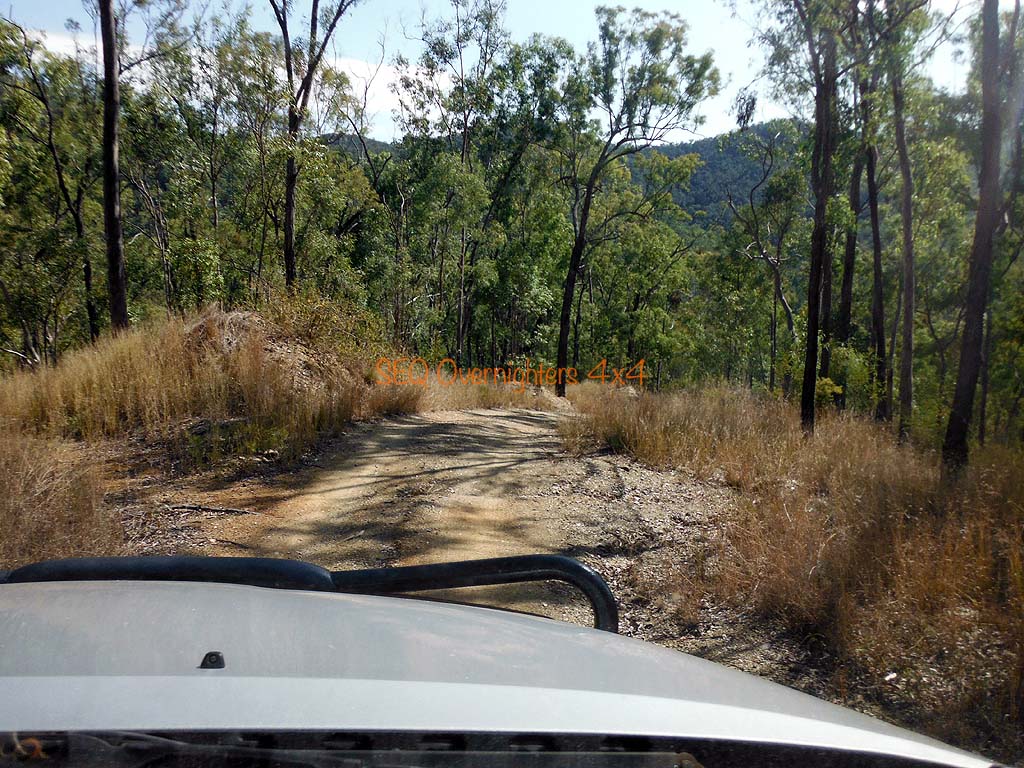
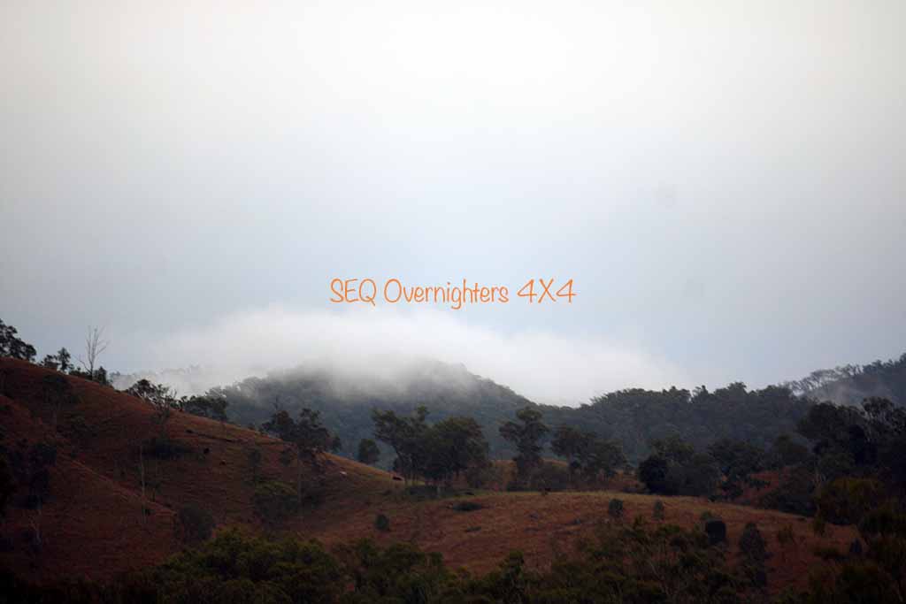
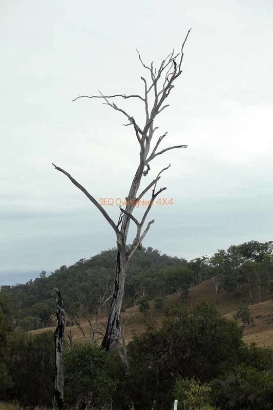
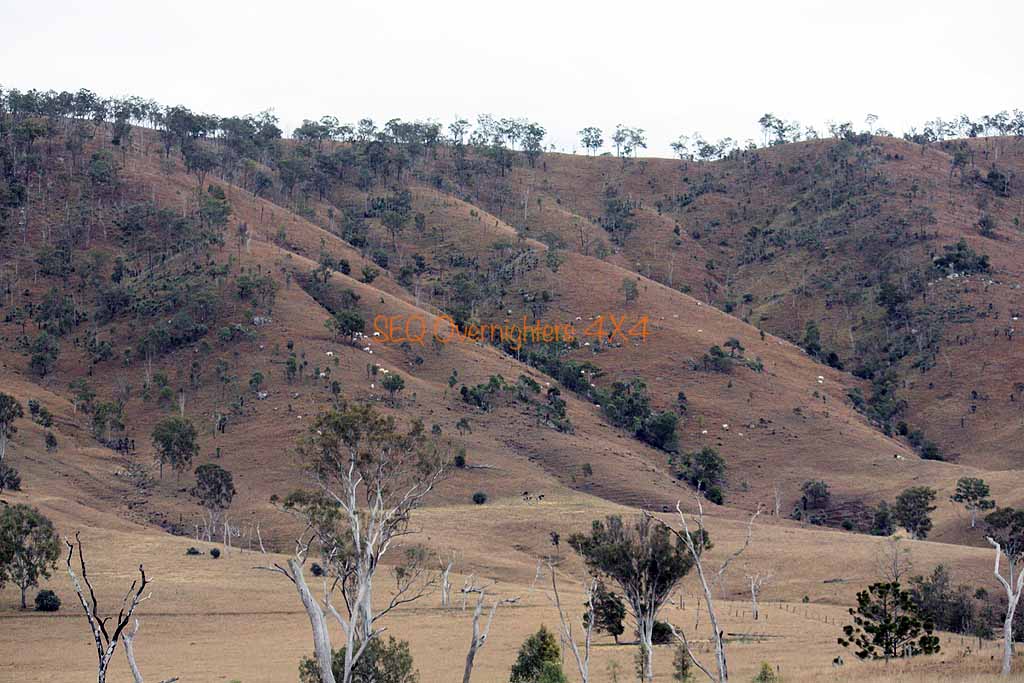
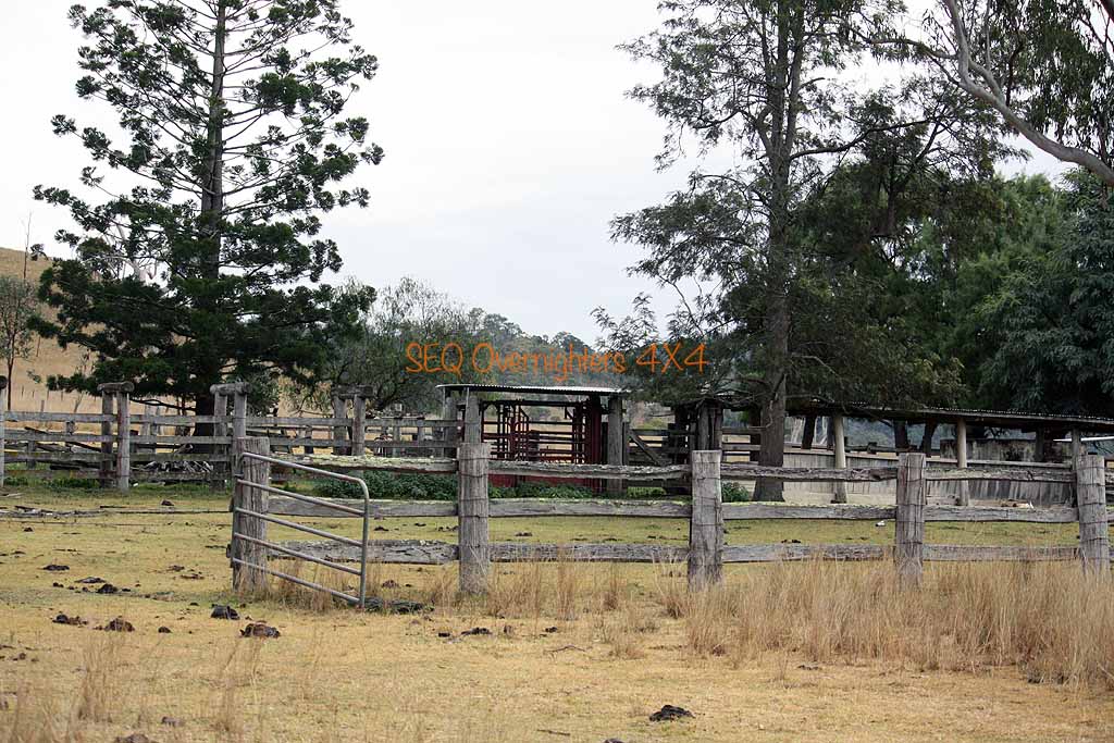
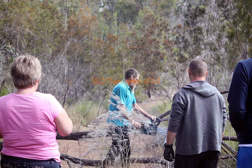
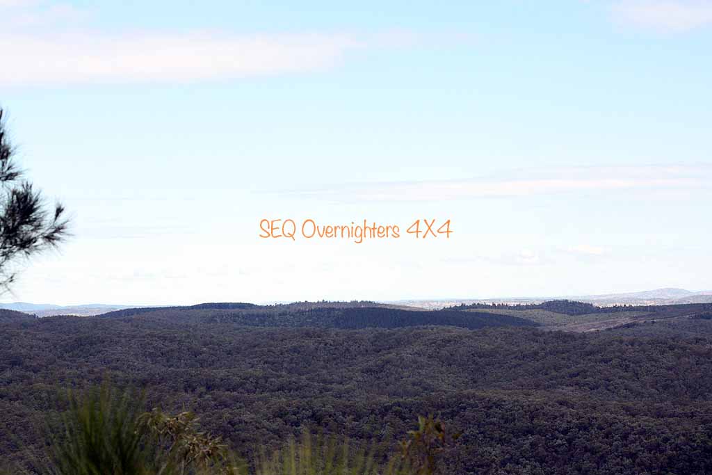
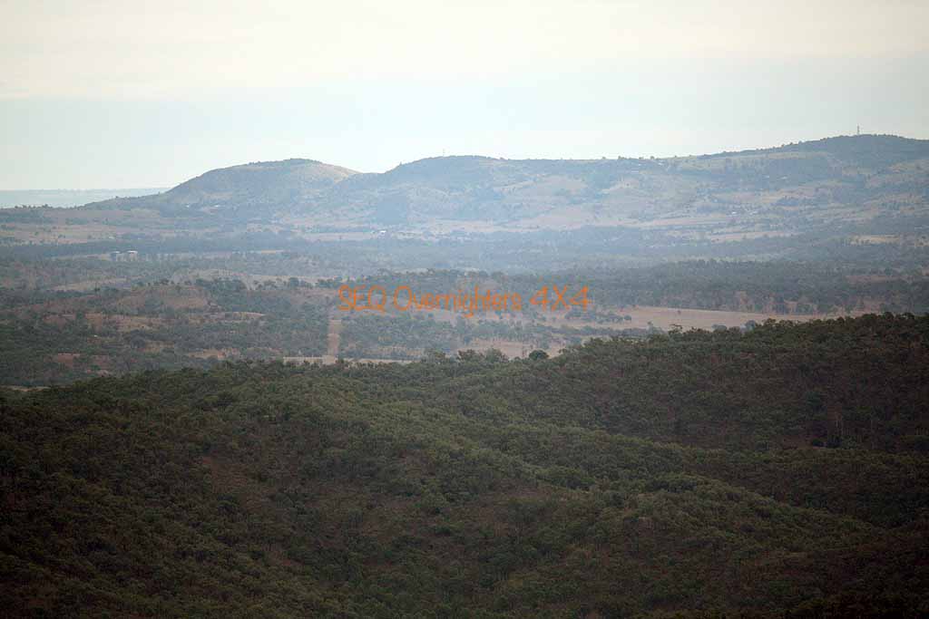
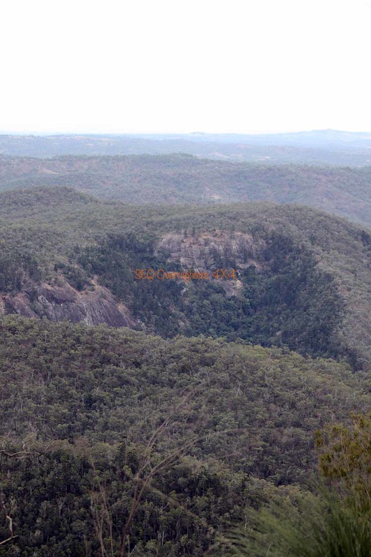
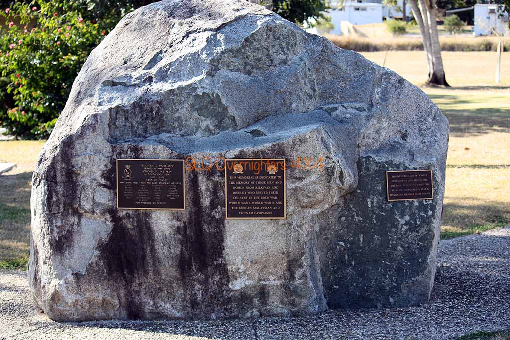
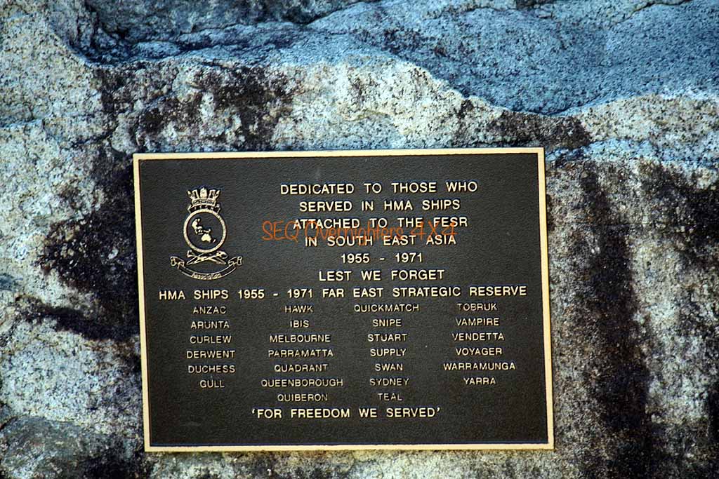
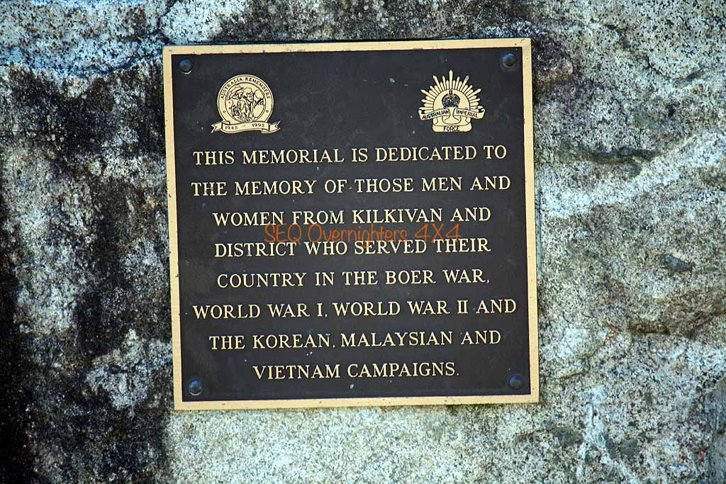
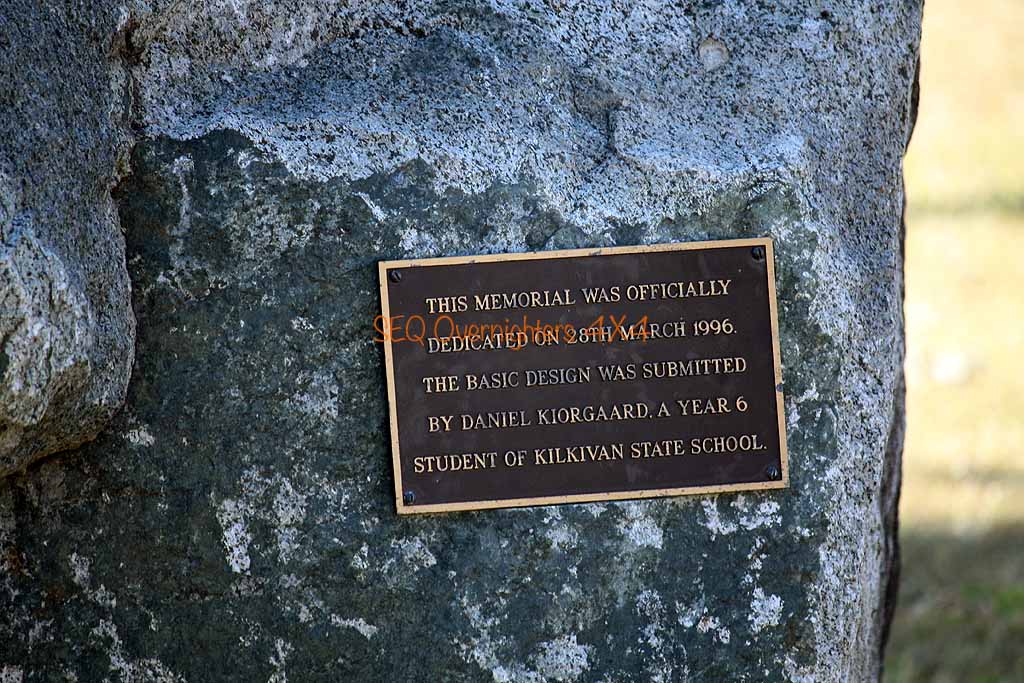
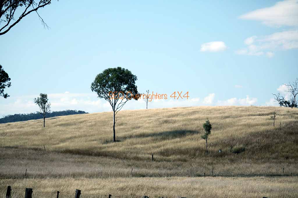
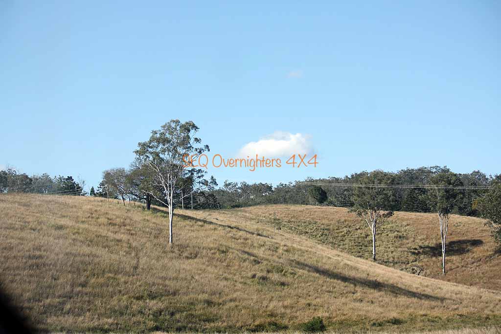
On the last leg of our travels for the day now and only a couple more points of interest before setting up camp at Kilkivan Bush Camping. We made the short but interesting drive up the trail to the Trig Station at the top of Mount Mia. A fallen tree was blocking the trail but Gary made short work of it with his chainsaw and we were soon on our way, arriving at the top at about 1pm for lunch and some stunning views. After coming back down to the main track it wasn't long before we hit a very picturesque but unnamed dam.
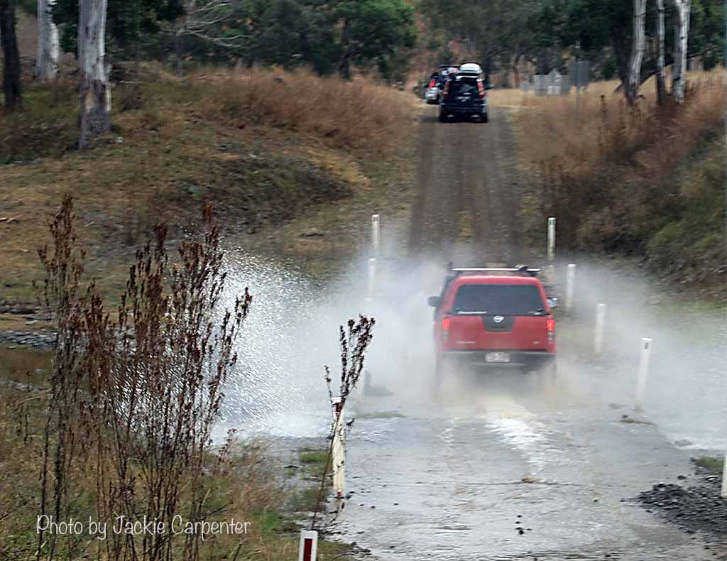
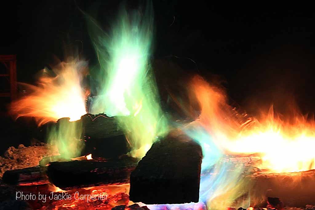
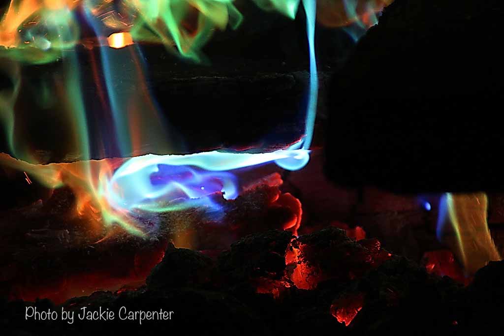
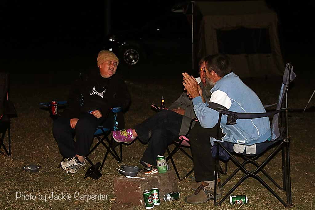
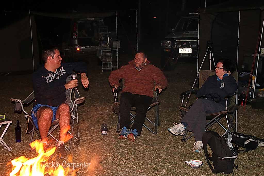
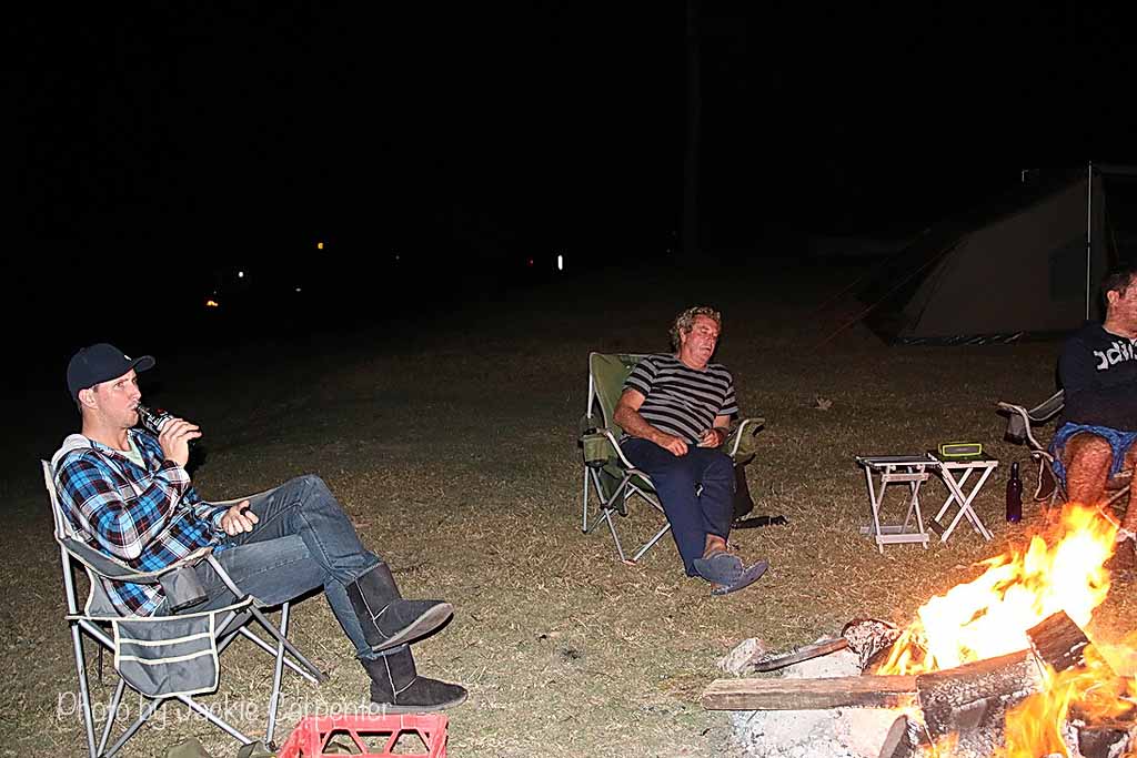
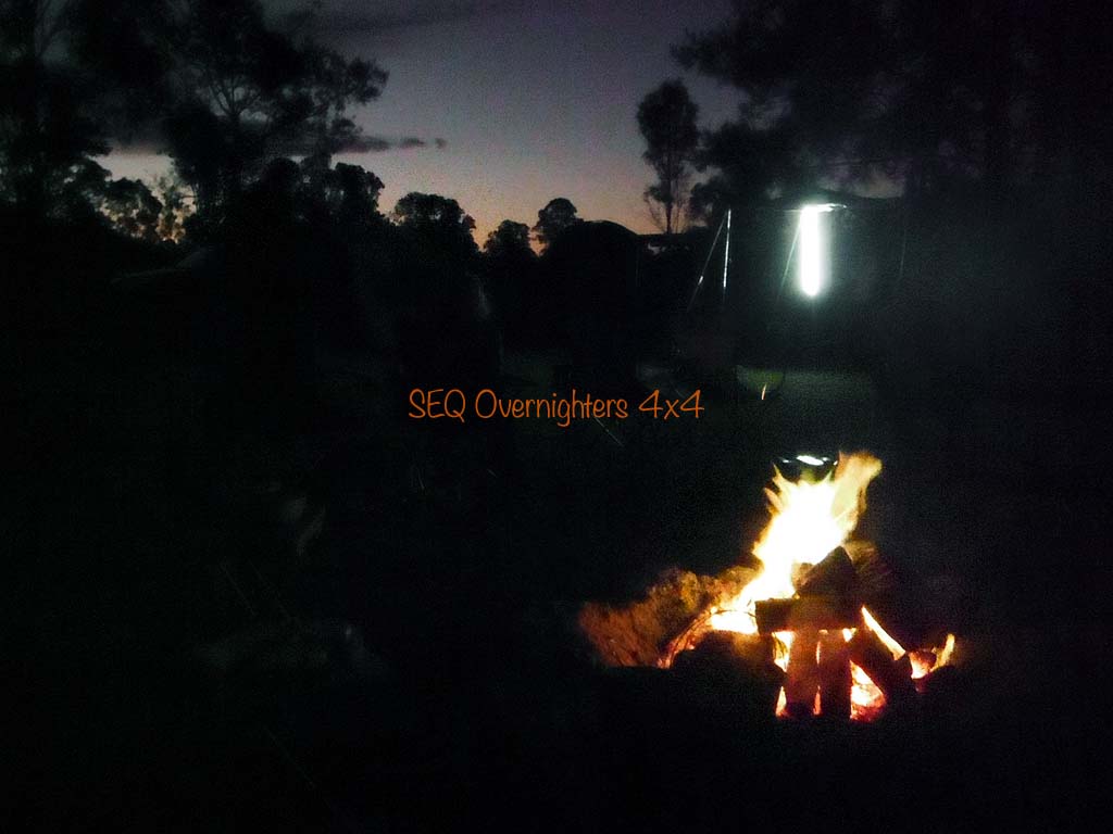
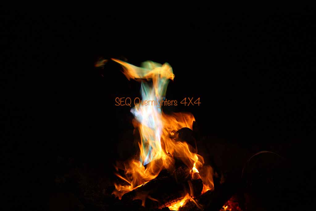
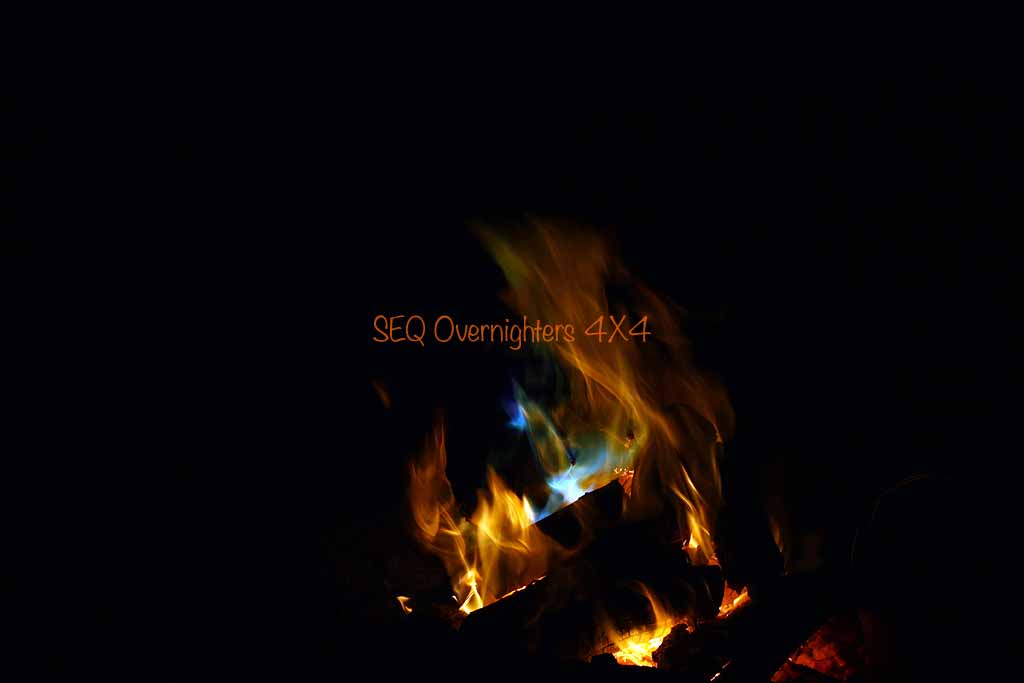
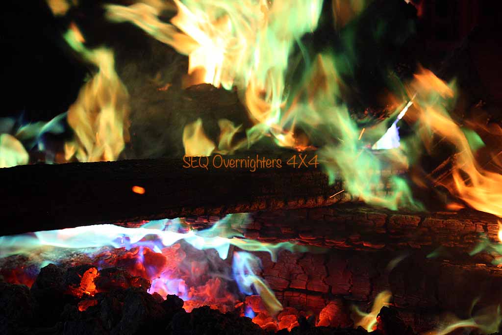
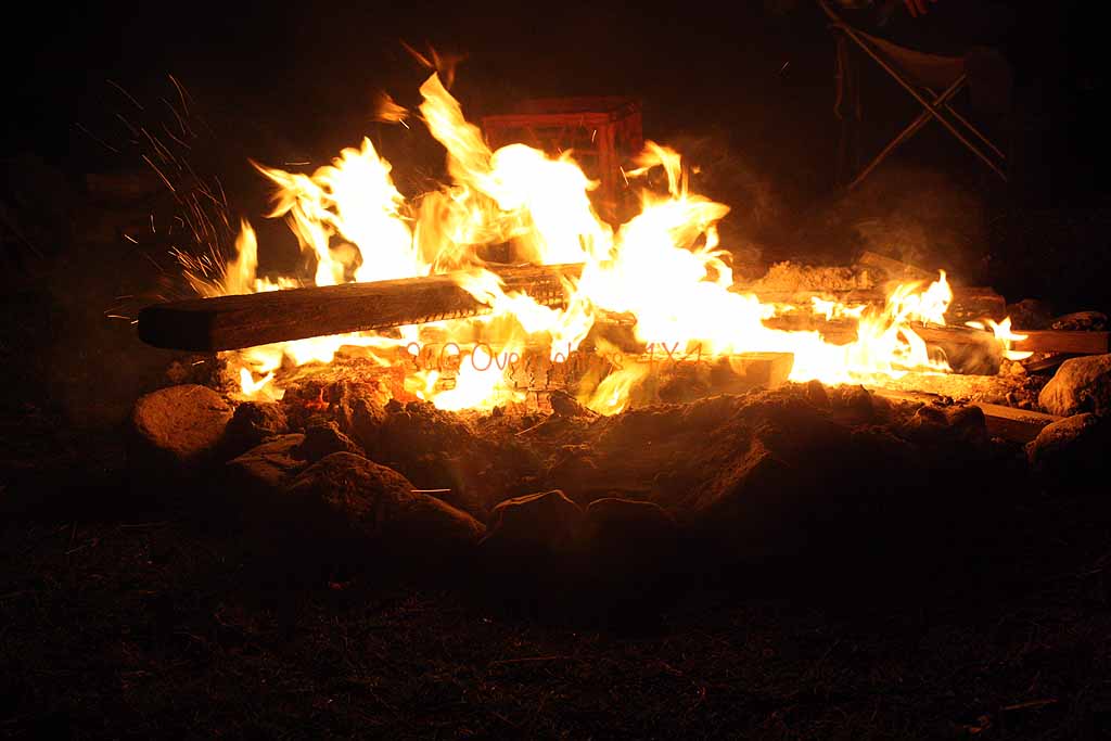
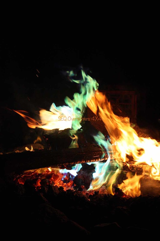
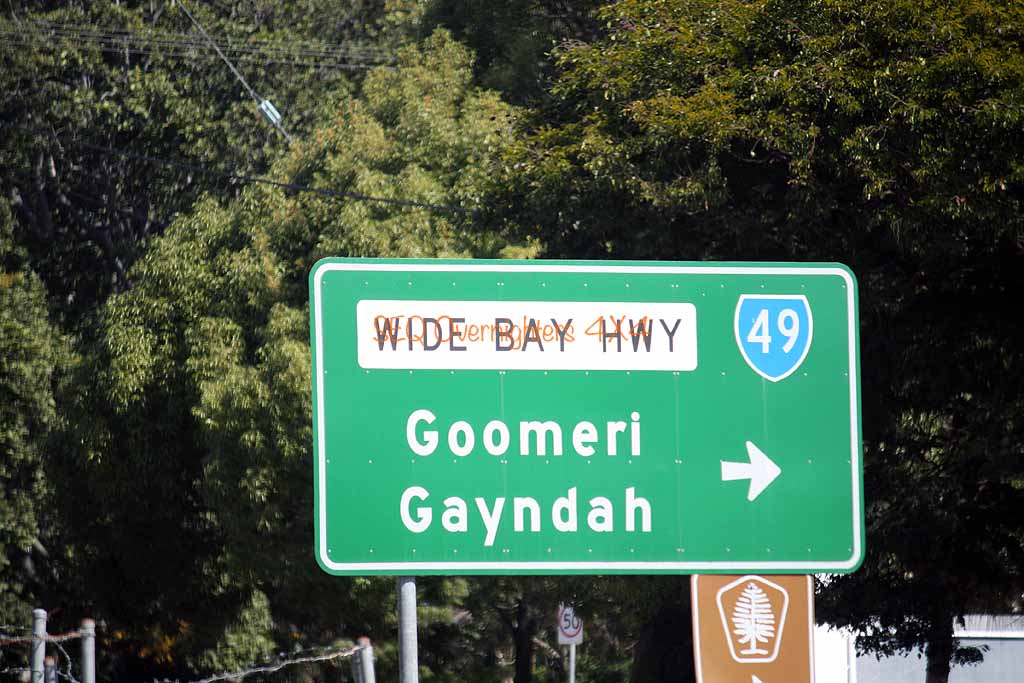
Just past that there was a flooded quarry and we were back onto the bitumen again for a while. Still on Blacksnake Road we followed it to it's end at the intersection of the Wide Bay Highway where we made a right turn toward Kilkivan. A quick stop was made before heading to camp where we settled in for the night around the most psychedelic campfire I've ever seen. Graham and Jackie had brought along some sachets of something called "Mystical Fire" which they threw into the fire periodically.
We all did our own thing for dinner and then began the total destruction of any diet related thoughts any of us may have been harbouring. Kate had made two batches of fudge in the slow cooker at home, one was tim tam and the other was redskin, (pure evil I say!) and Sue & Gary made golden syrup dumplings (served with ice cream) and Brad made a self saucing chocolate pudding (served with whipped cream) and also a sticky date pudding with butterscotch sauce which he also served with whipped cream. I'm not game to get on the bathroom scales.
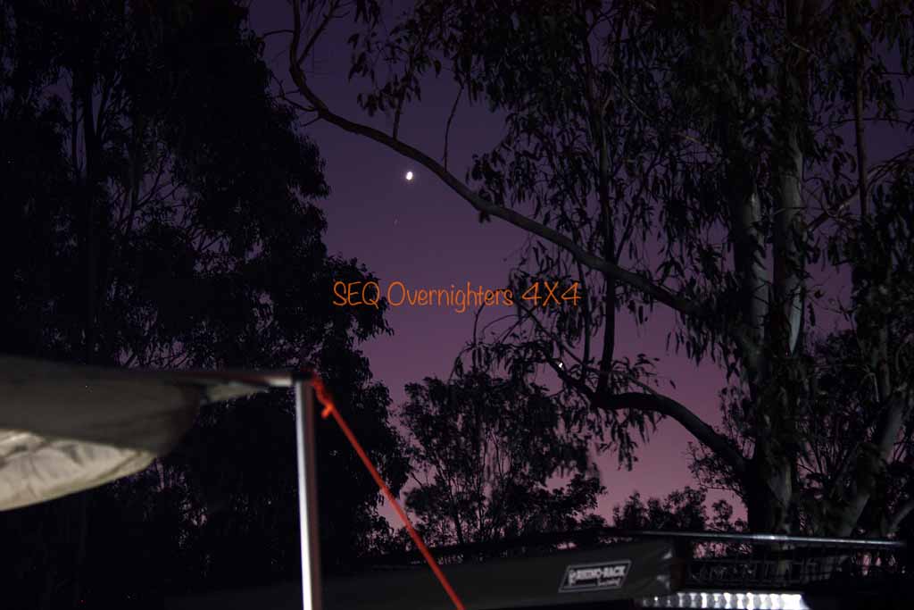
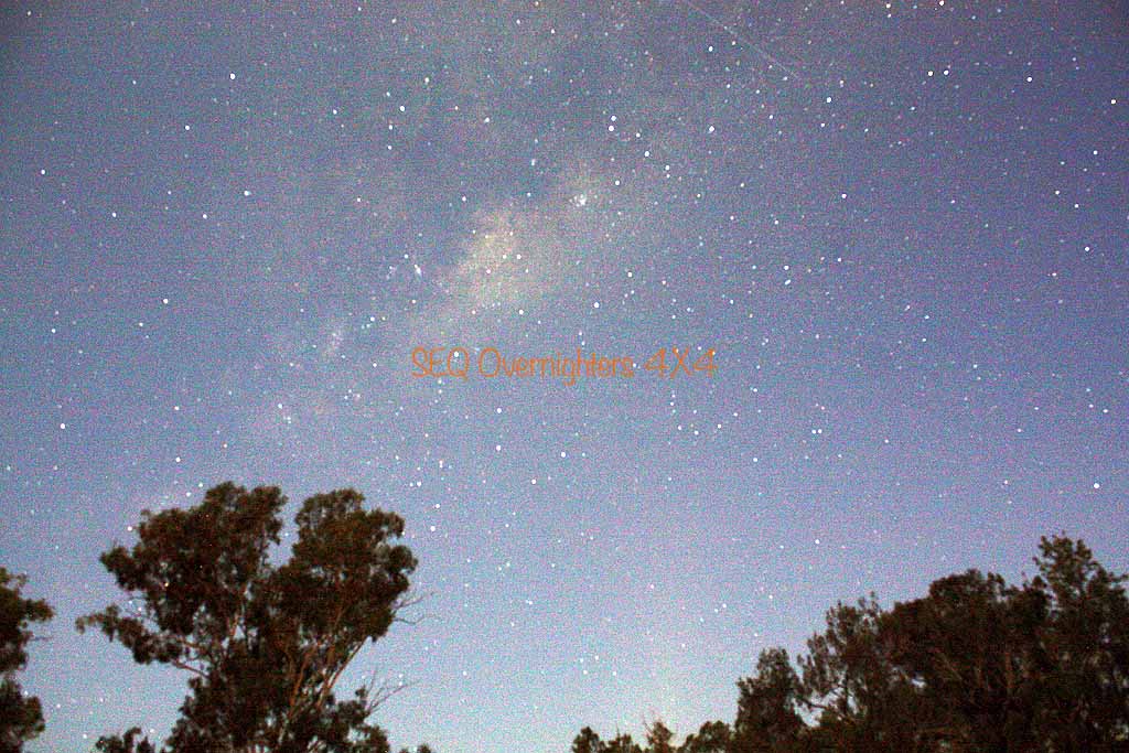
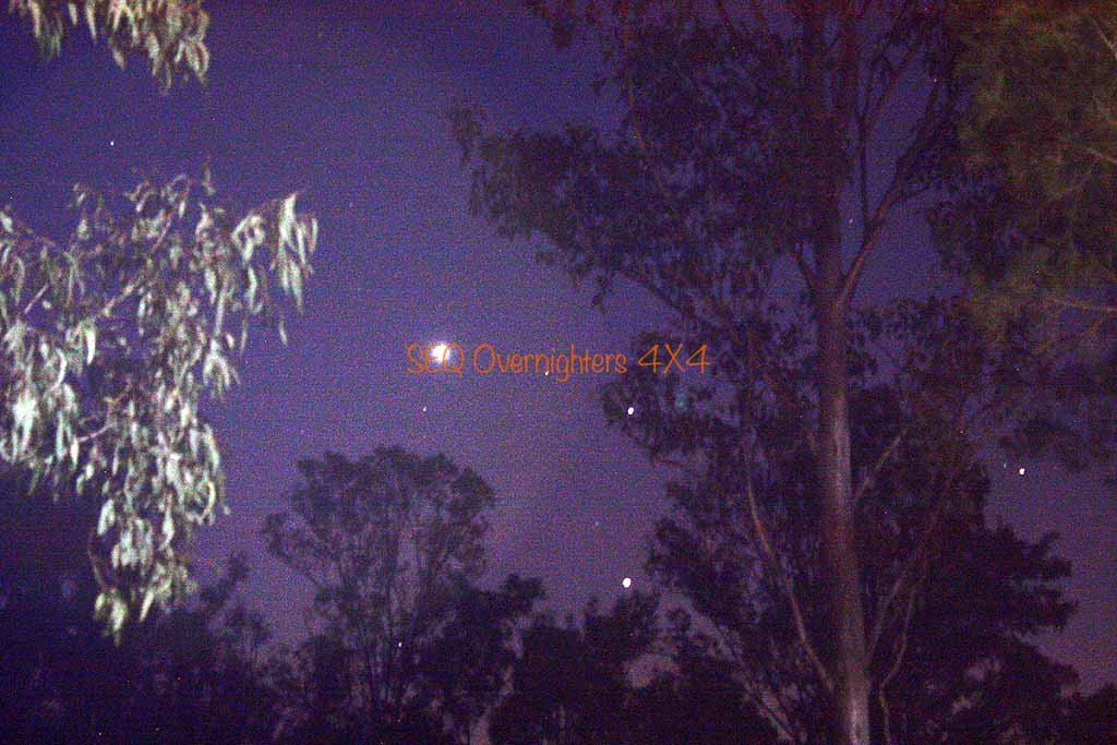
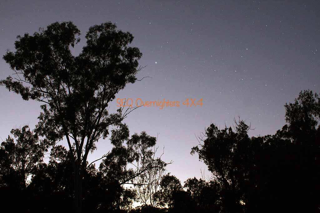
Some time during the evening I drew the raffle which was won by Sue Walker. One of our laminated checklists and a packet of Tim Tams. As if there weren't enough sweet things to eat this weekend. Eventually we all went to bed after an evening of good food, good company, and some photographic attempts at star trails and general shots of the night sky and after our early start... our Saturday was finally done!
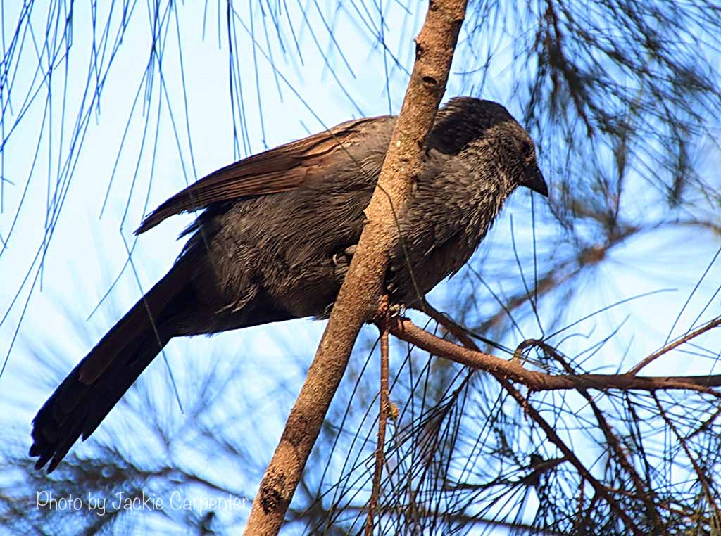
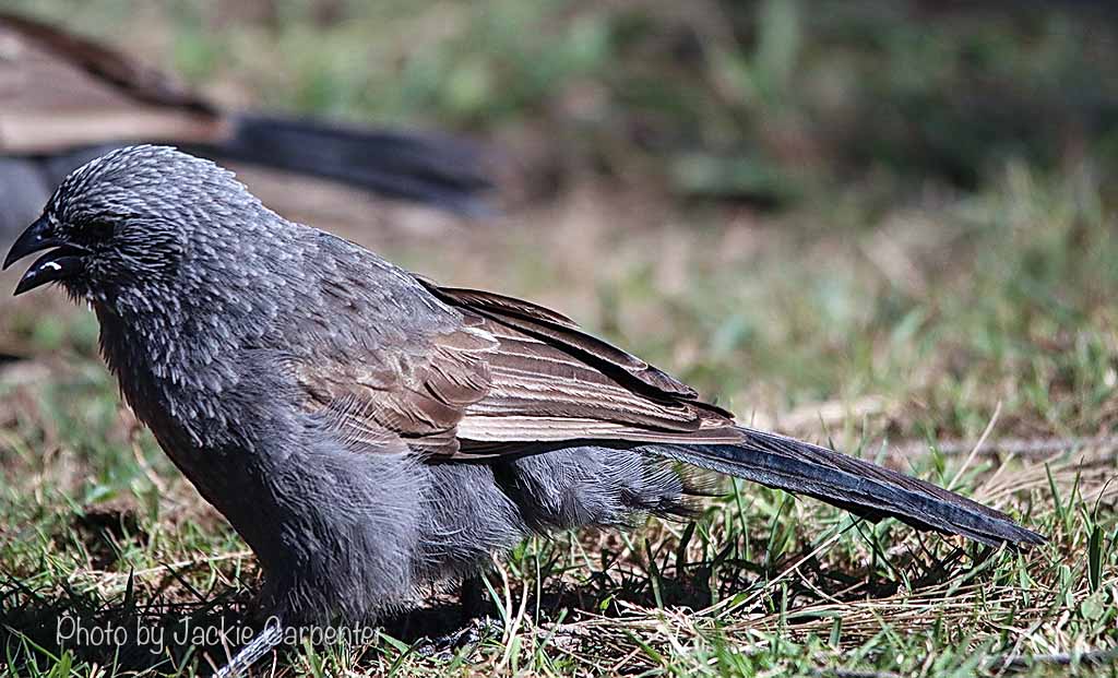
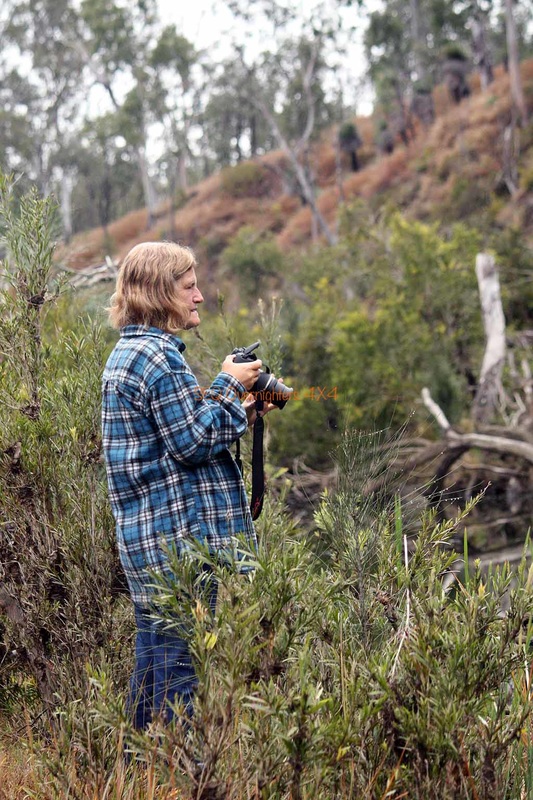
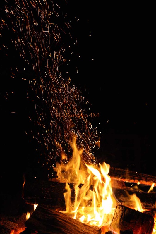
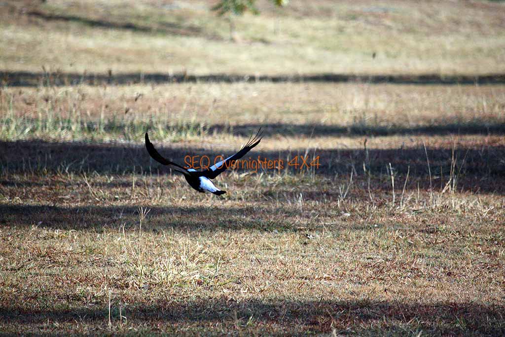
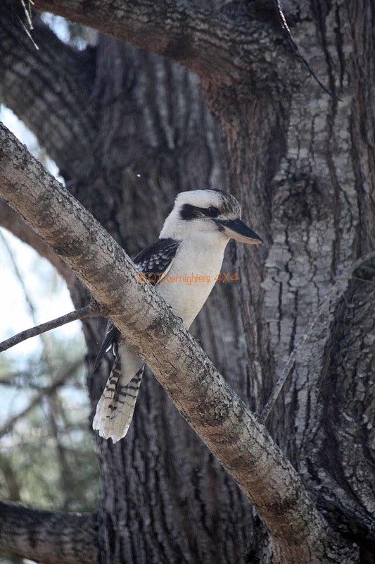
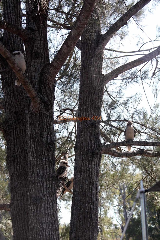
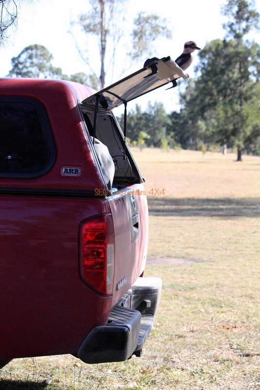
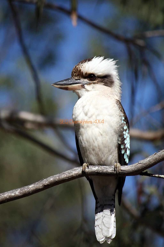
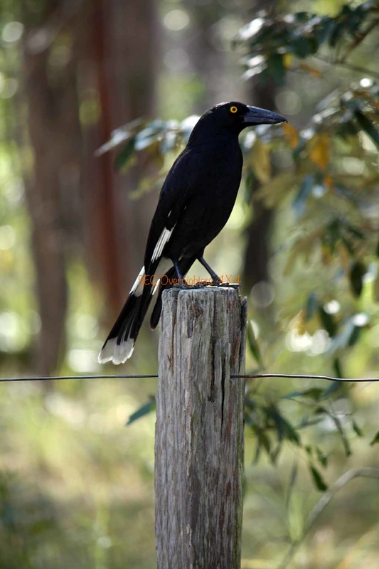
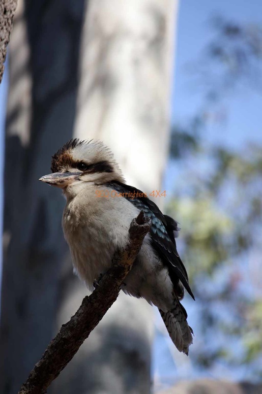
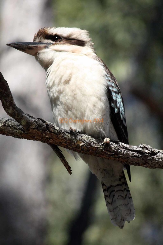
Sunday morning began with the sound of birdsong. The Kookaburras (aka; The laughing jackass) are always about although I fail to see what's funny about 4am, or "Stupid O'Clock" as I like to call it. Kate was up early to try and get some more photos and I followed soon after and made a cuppa got the fire going again. This took very little effort as there was plenty of heat left from the night before so all I had to do was stir it up a little and throw some more wood on. It burst into flames again shortly after that.
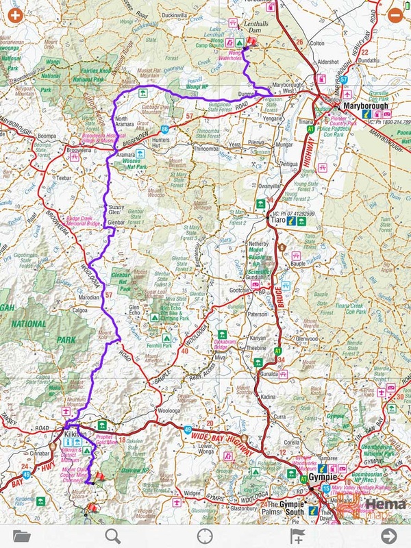
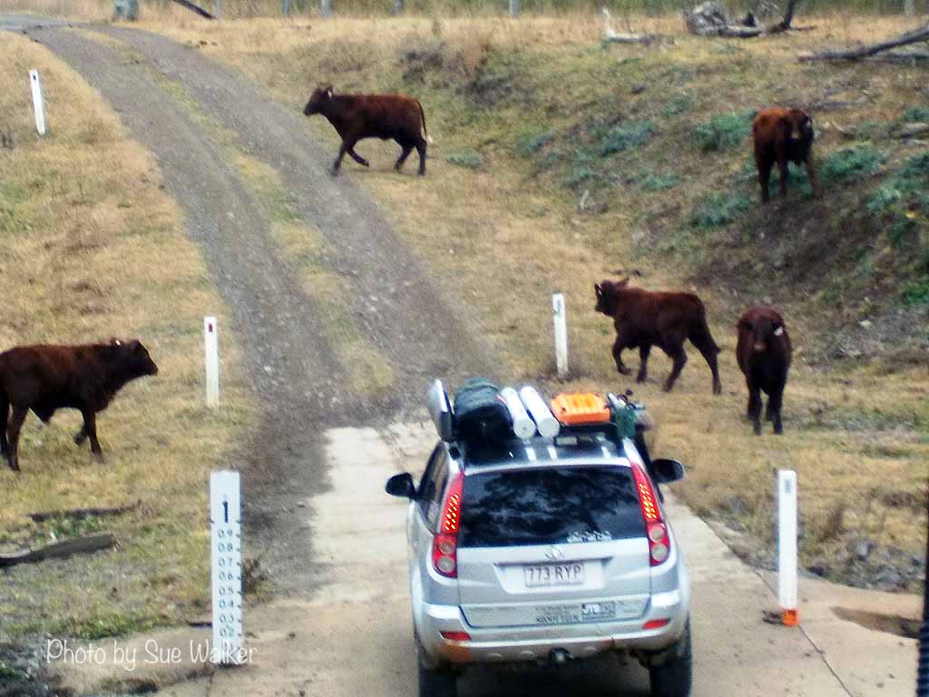
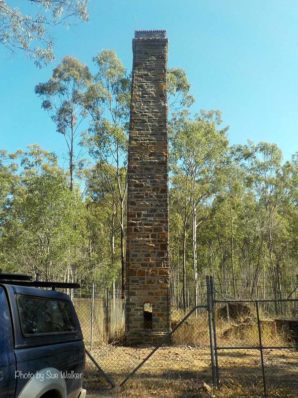
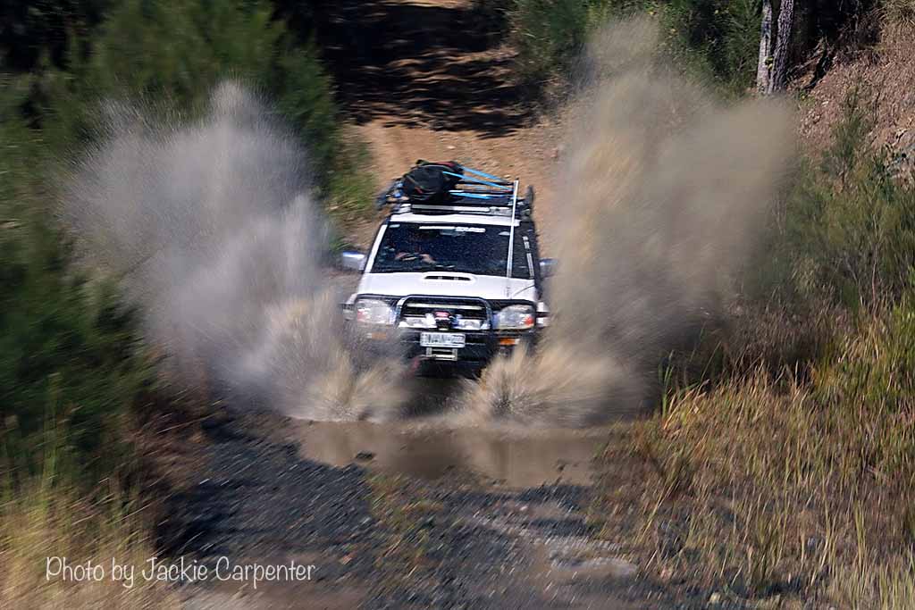
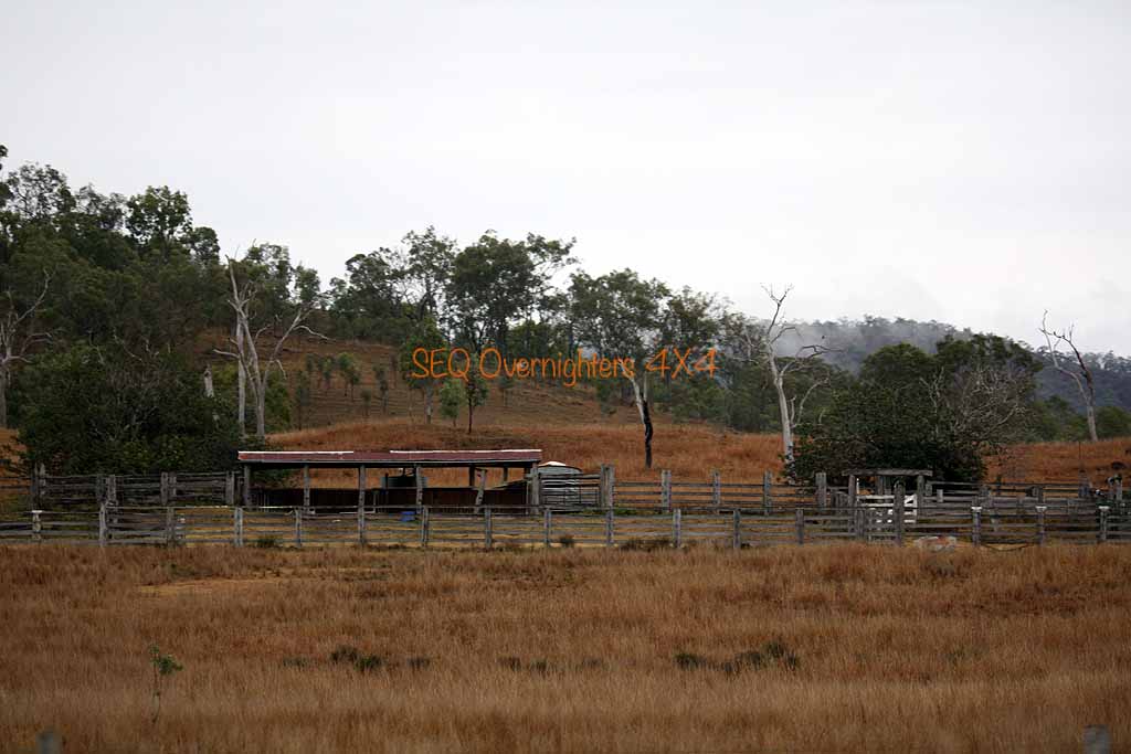
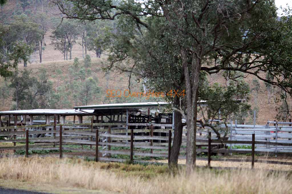
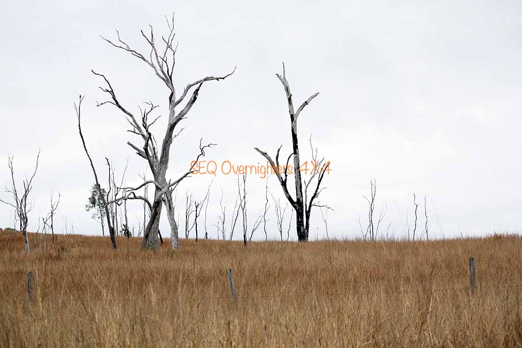
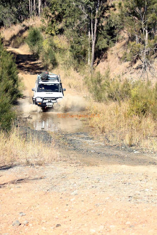
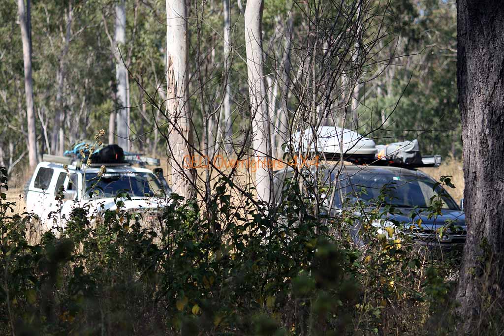
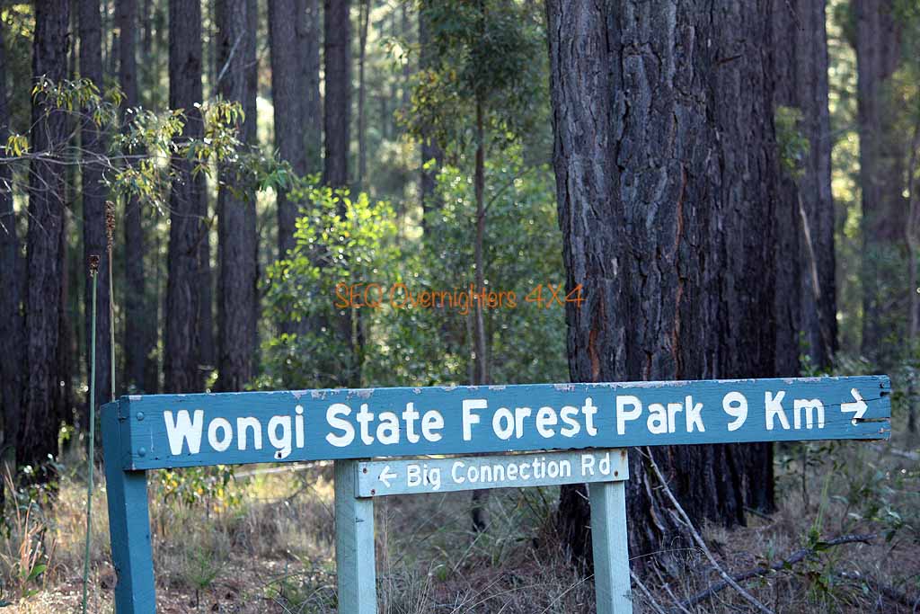
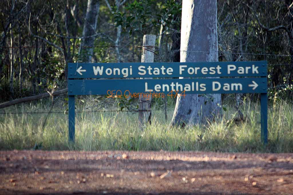
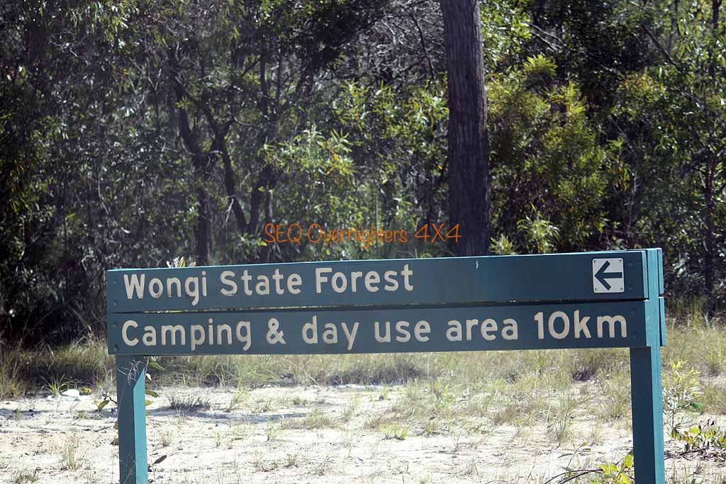
Breakfast, some conversation, some washing up, and a pack up and we were off again. We weren't going far though as we were just going further up the same road to look at the old Mount Clara Tin Smelter where we stopped for photos and then did a nearby hill climb which required low range but wasn't very rough at all. After descending, we made our way back to the Wide Bay Highway where Graham & Jackie, Sue & Gary and Brad & Gavin headed for home via some tracks at Brooyar State Forest (led by Graham) and Alison and Kate & myself continued North for our 2nd night at Wongi Waterholes.
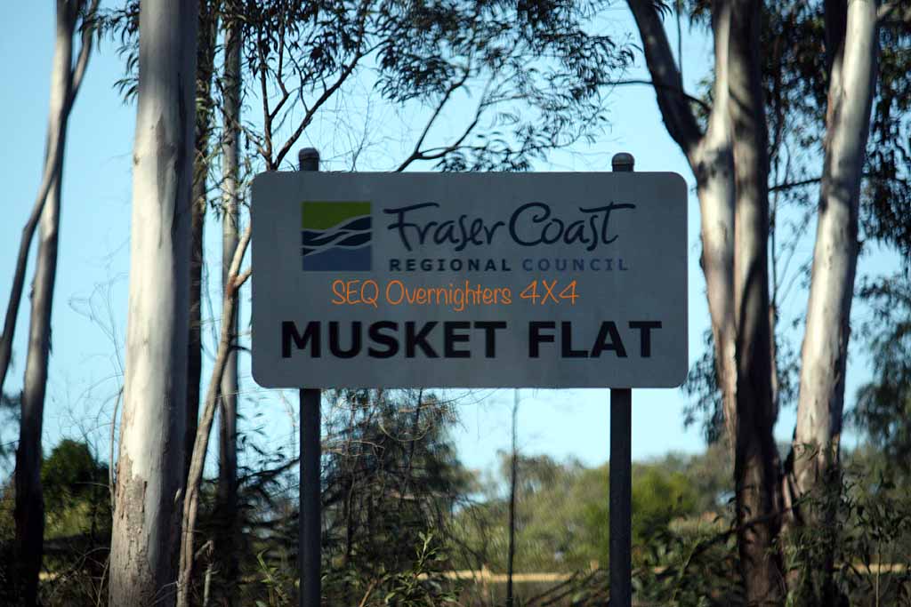
After saying our goodbyes to the others via the radio we (Alison and Kate & myself) followed Running creek road as instructed by the book I was using, and followed it to Brooweena-Woolooga Road and then onto some more back roads before emerging at Aramara where we made a stop to take some shots of an old railway bridge before continuing to North Aramara and Musket Flat Mountain. I planned to stop here but I didn't see the rest area shown on the map, nor did I see any signs of the "bush camping" that was mentioned in the book.
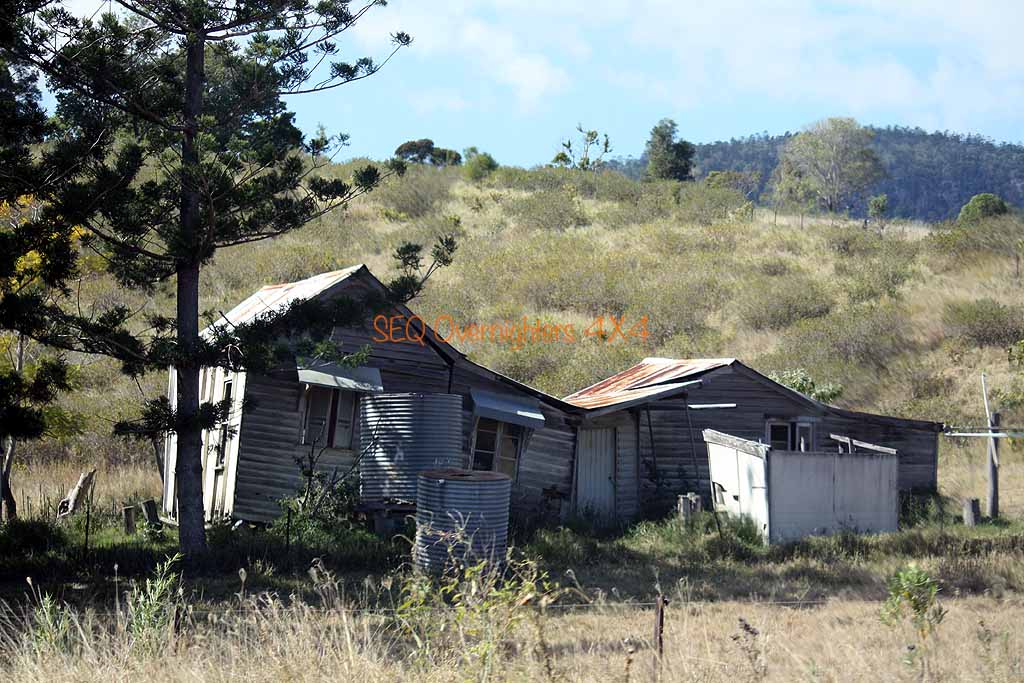
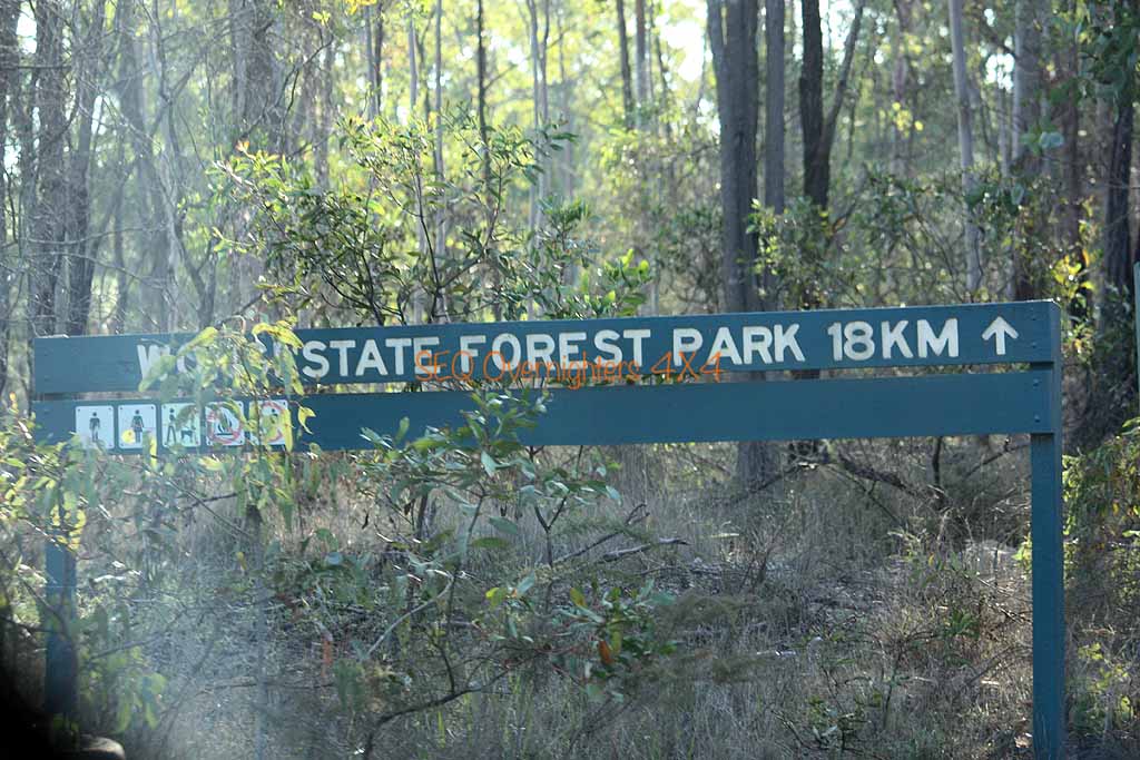
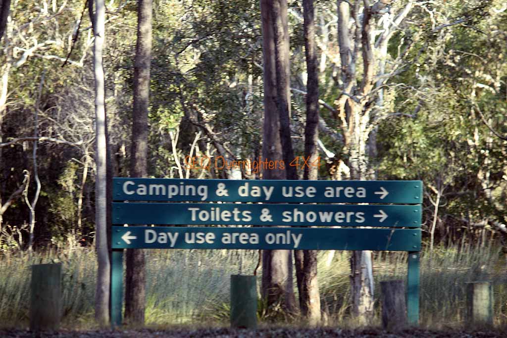
The only thing at Musket flat seemed to be about 100metres of bitumen and a nice homestead. We continued east along more dirt road until we briefly rejoined the Wide Bay Highway and turned left onto the dirt once again for the 18km run to the camping area at Wongi Waterholes. On arrival, Alison and I each proceeded to set up our camps while Kate went to take advantage of the afternoon light for some photos. Due to the lateness of our arrival I chose to get the Cobb Cooker warmed up and ready so that I could throw in a rolled pork roast after I finished setting up camp.
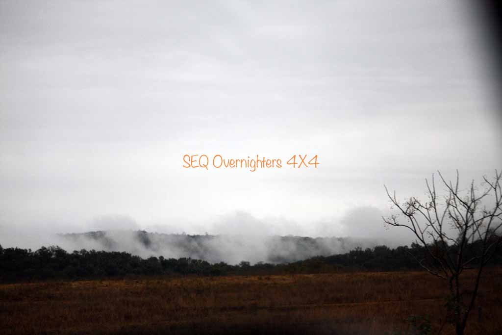
Alison cooked up her dinner at a time that would coincide with us sitting down to eat so that the 3 of us could eat together. We spent the evening chatting about this & that and wandered off to bed fairly early at about 9:30 I think it was. Shortly after that it tried to rain but only managed a few spits. We ended up with a good shower at about 4 to 4.30ish in the morning and I must say, it is a very relaxing thing to hear the pitter patter of rain on the roof of the tent.
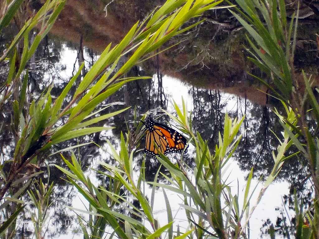
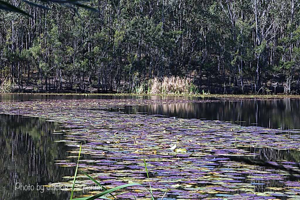
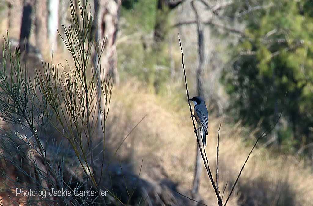
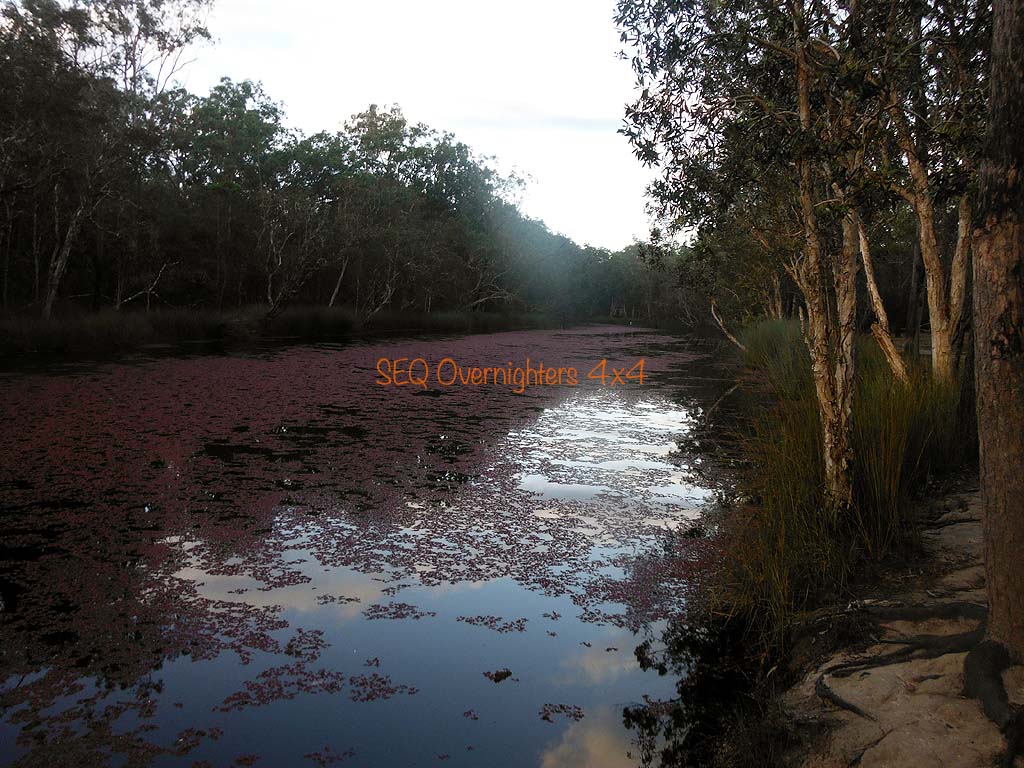
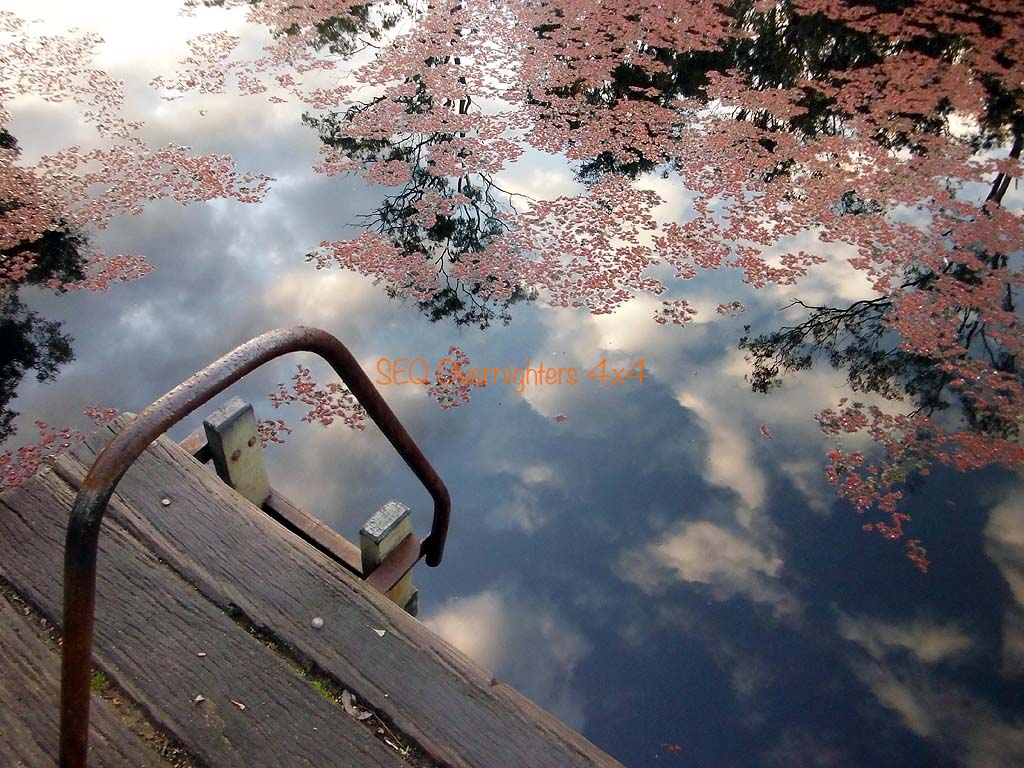
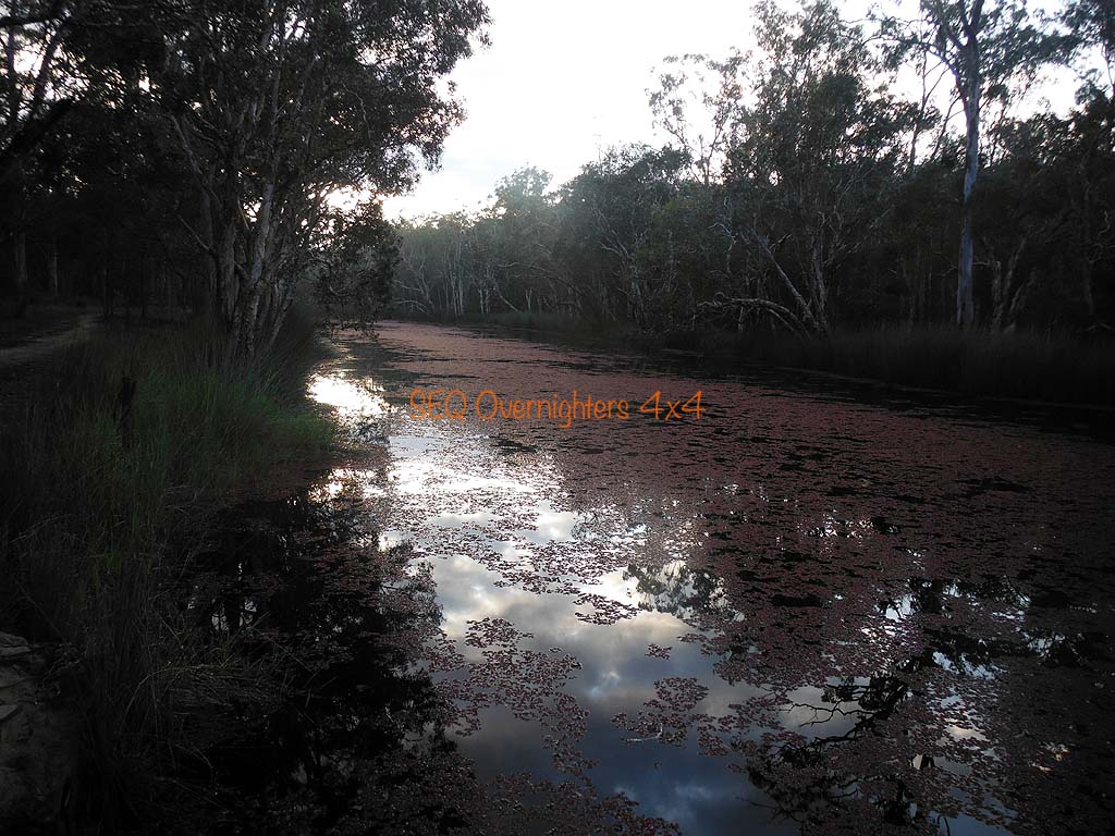
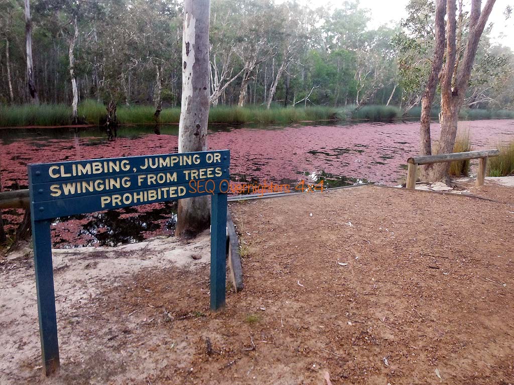
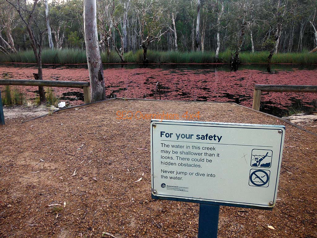
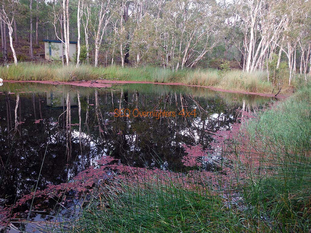
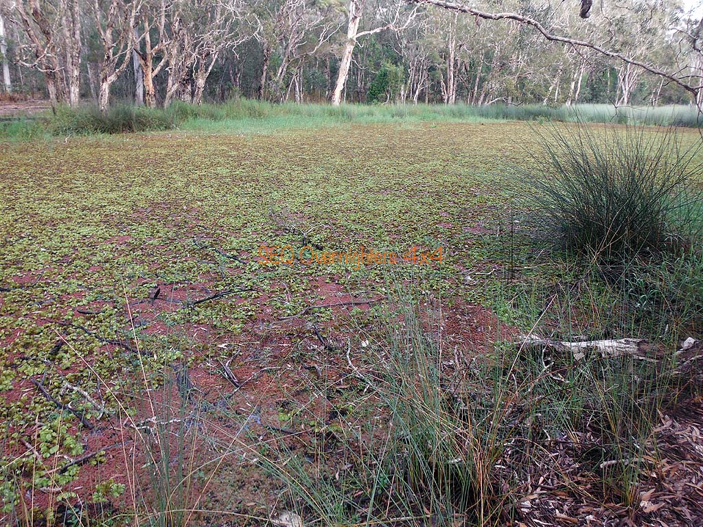
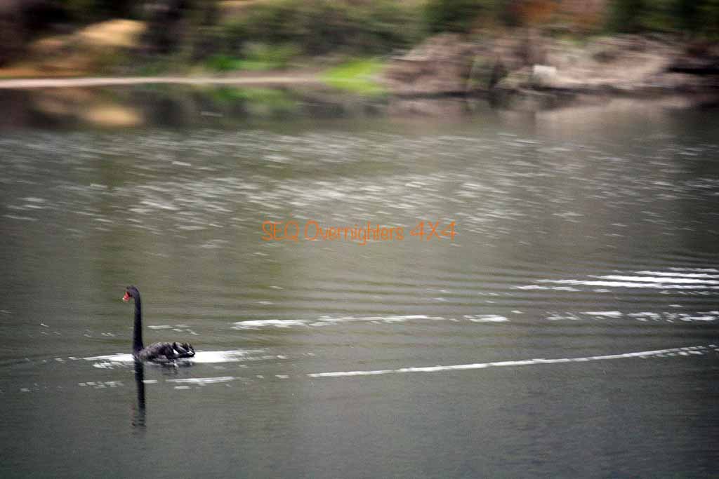
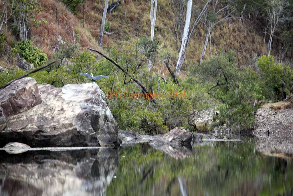
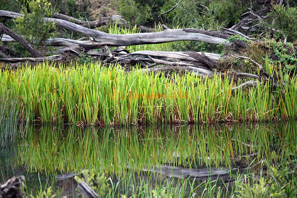
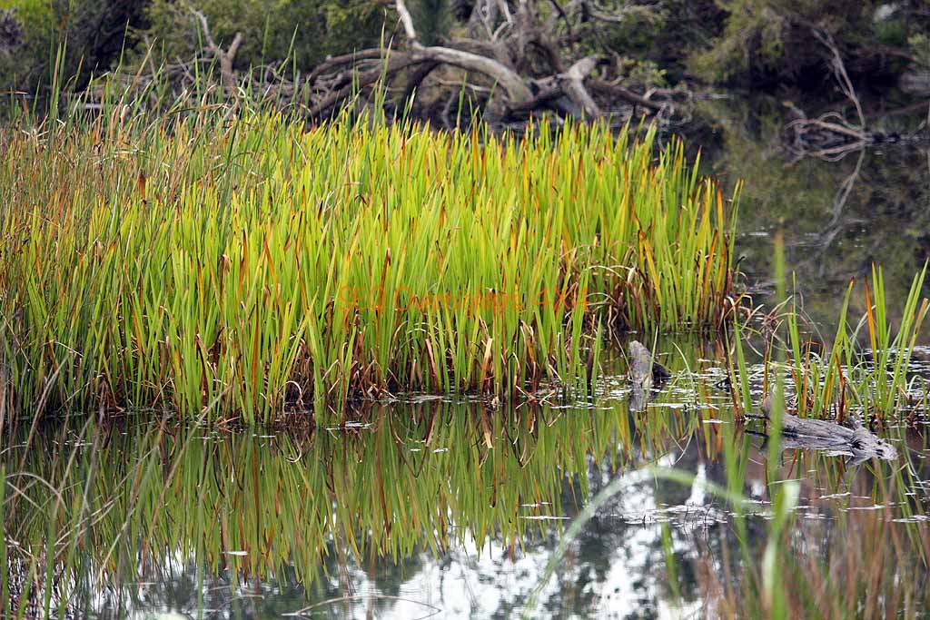
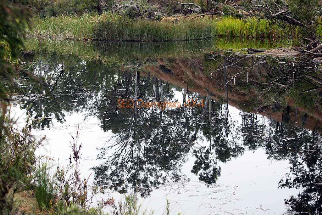
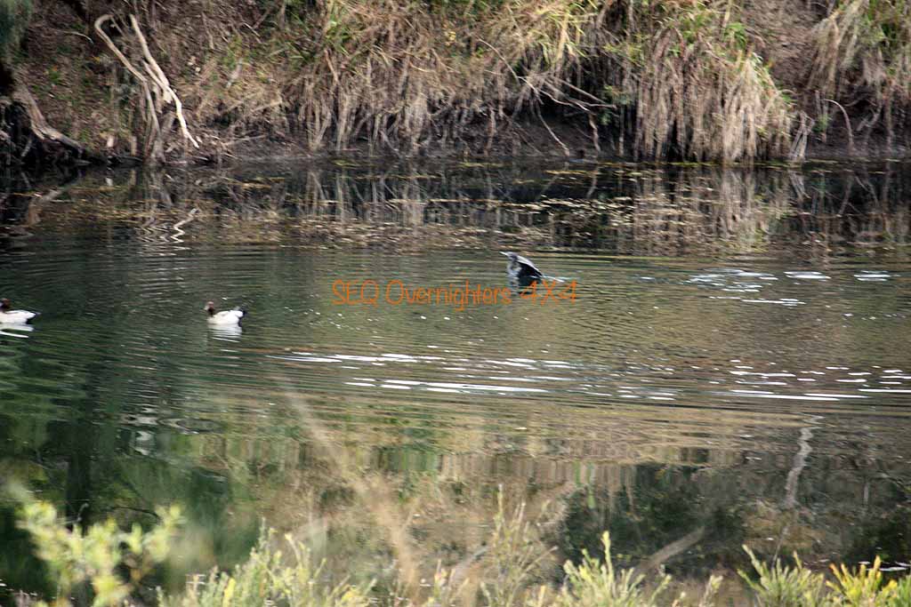
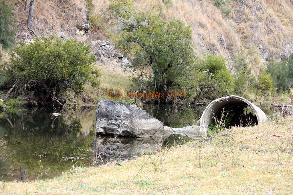
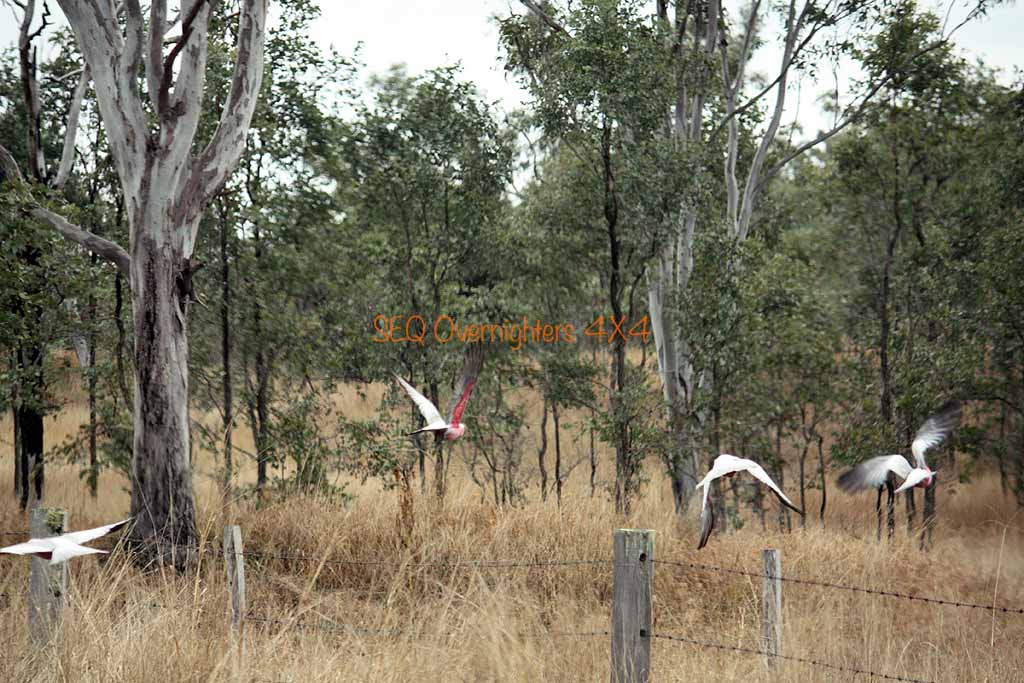
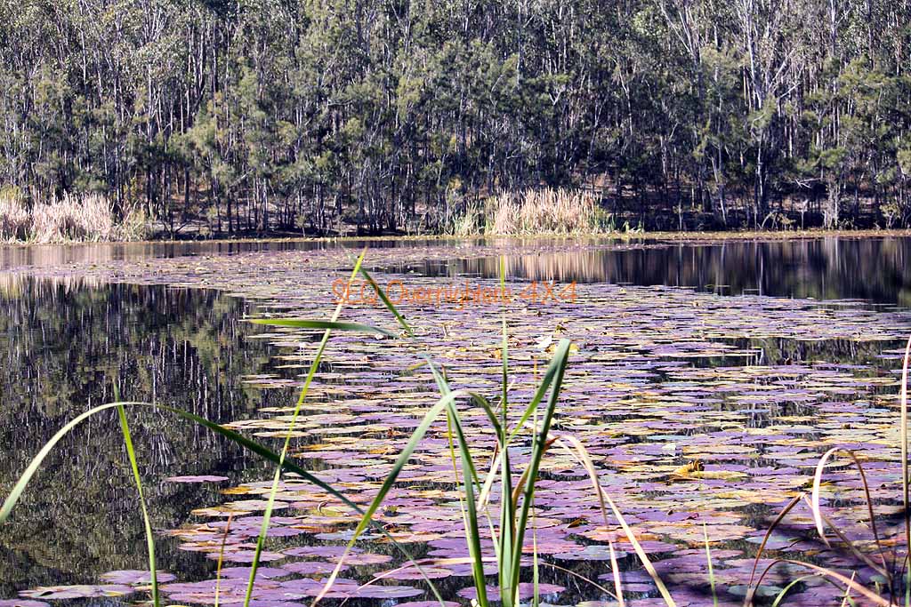
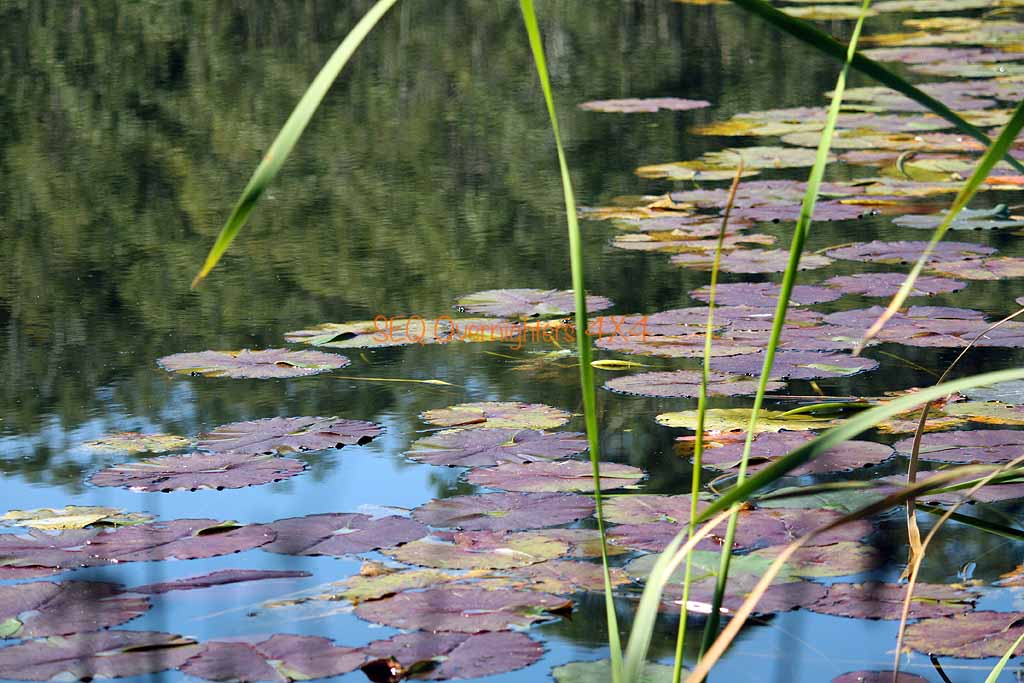
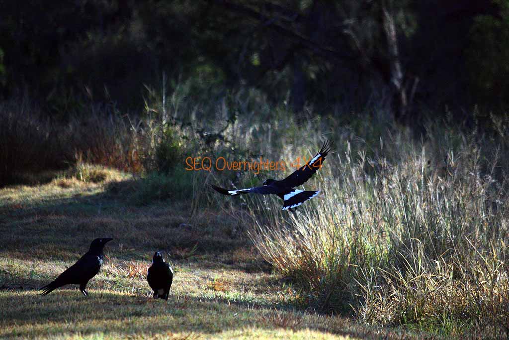
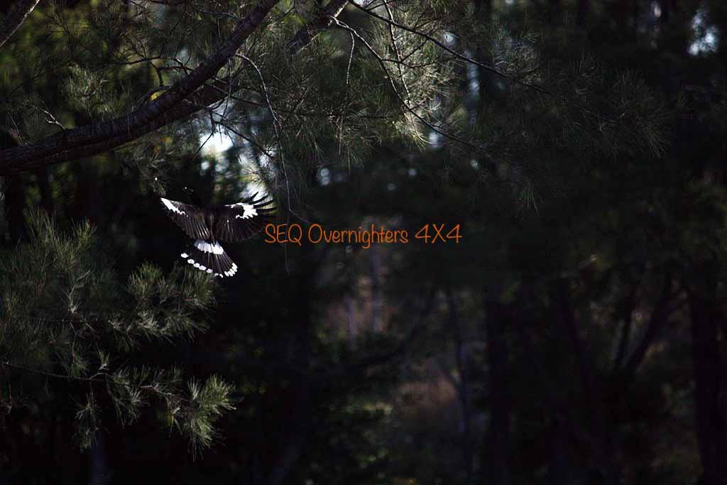
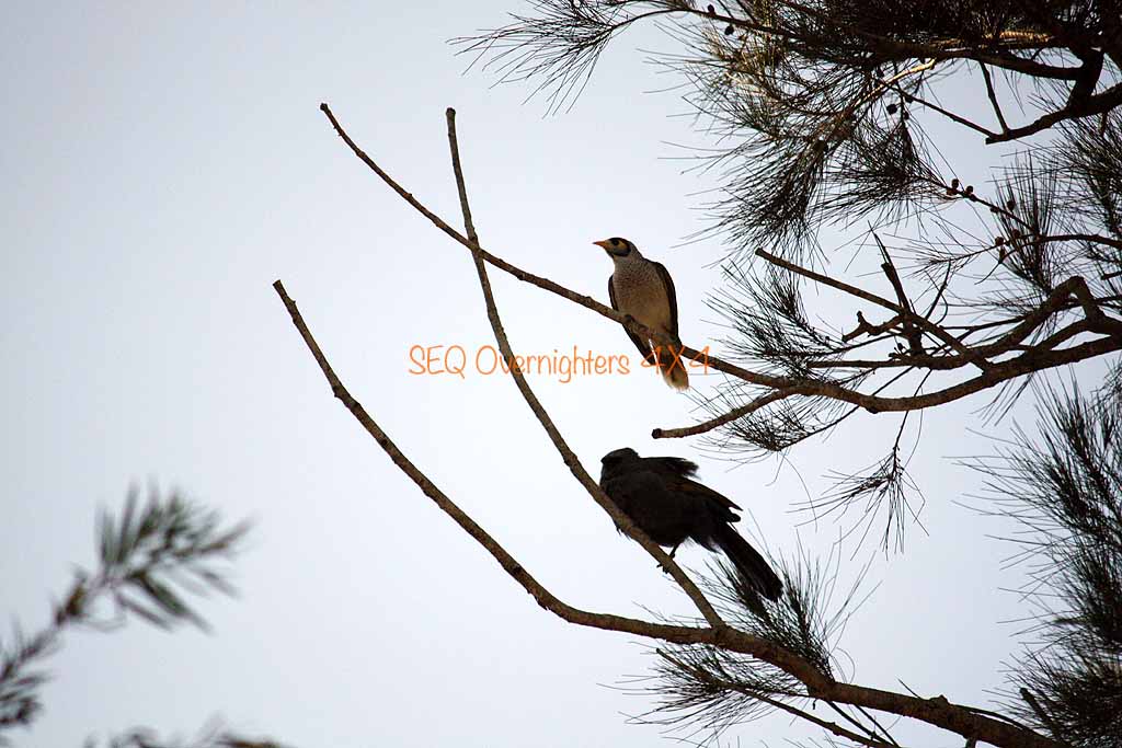
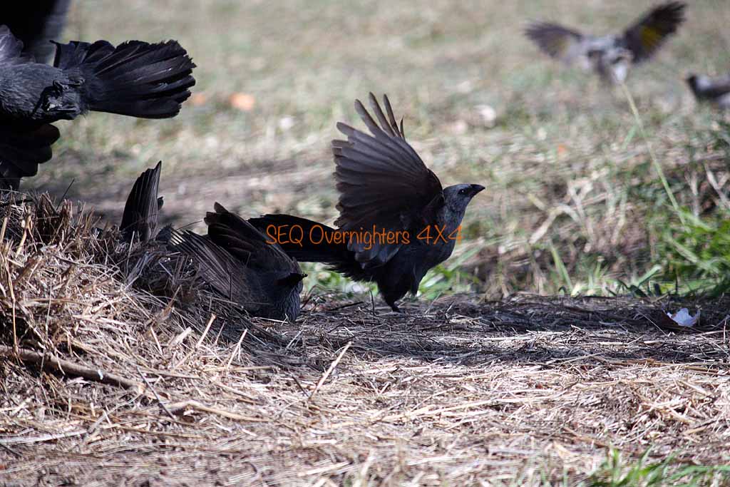
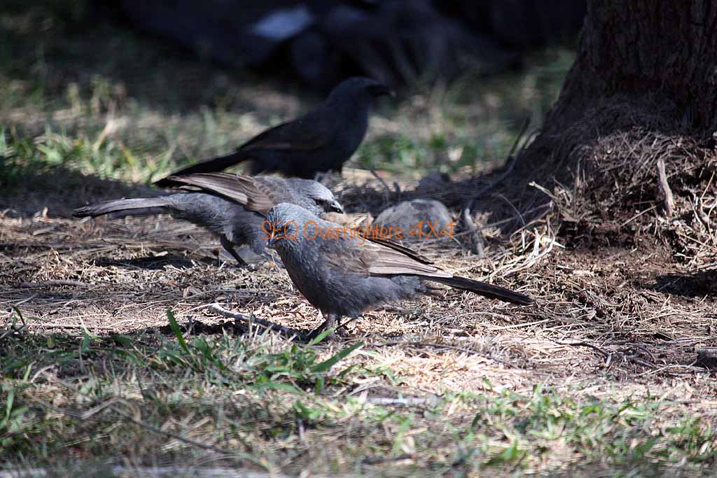
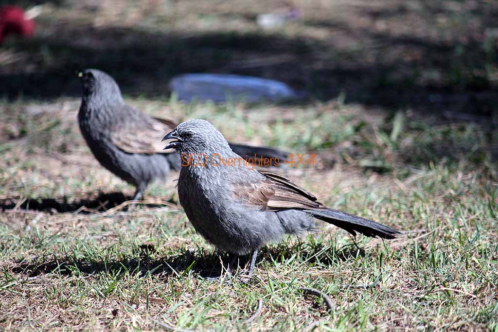
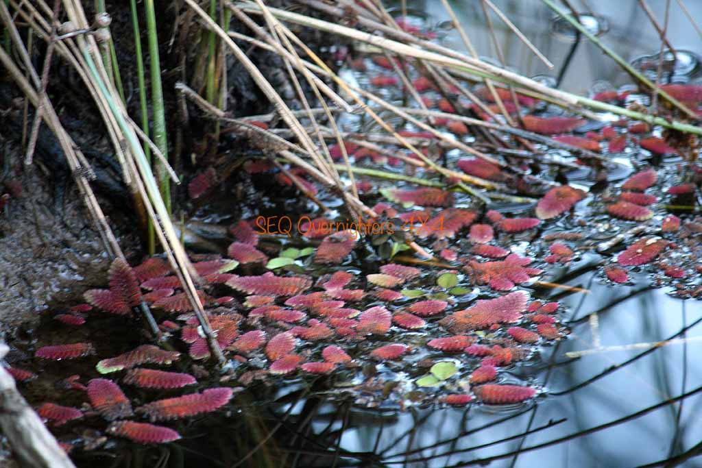
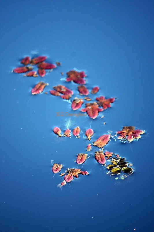
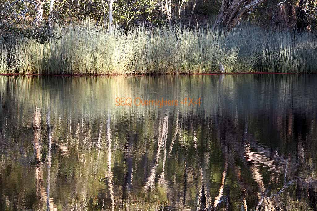
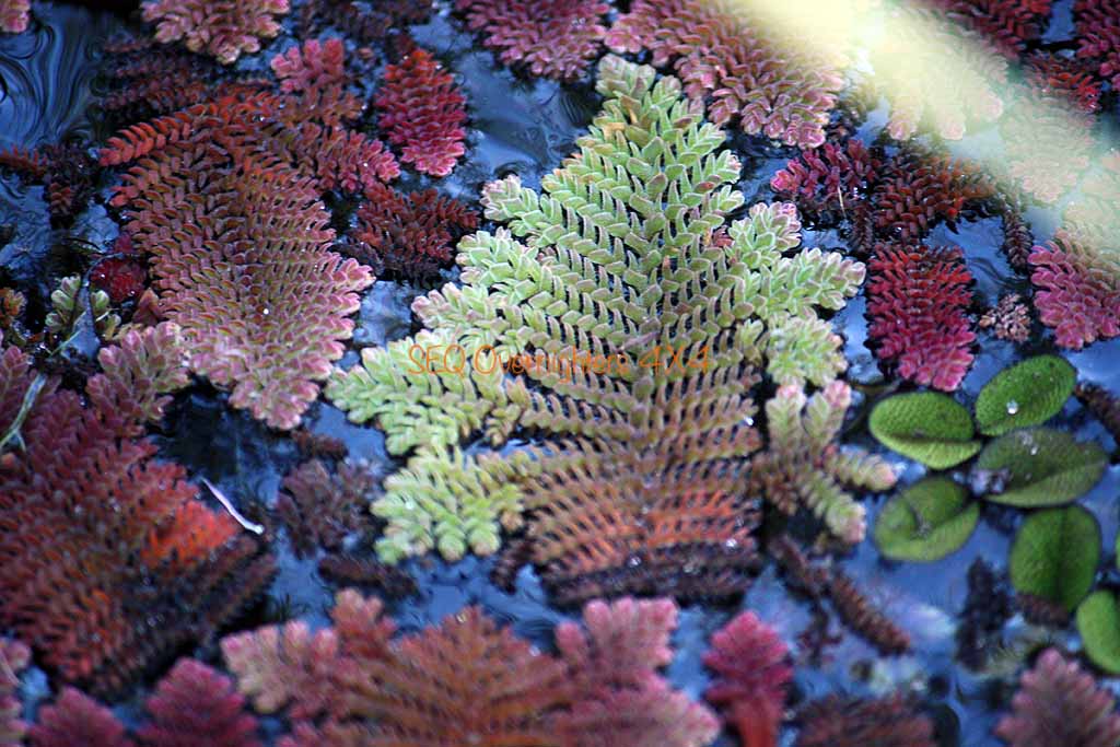
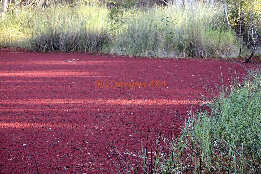
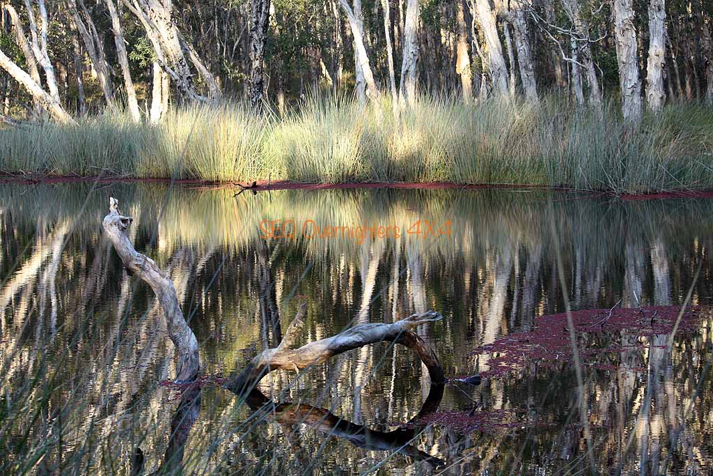
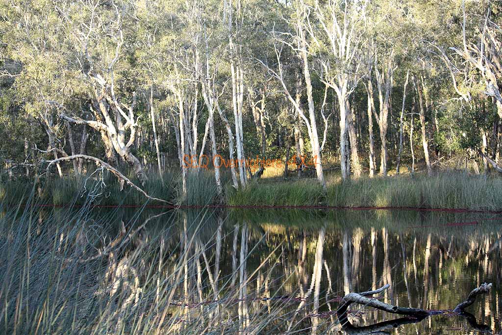
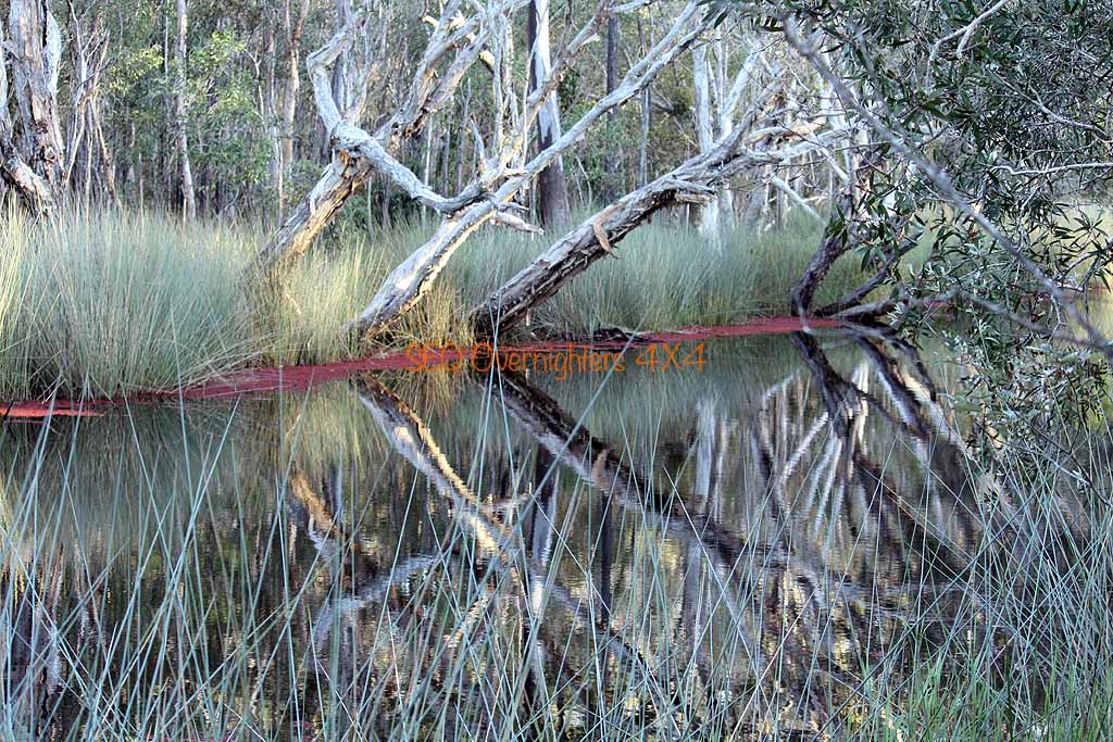
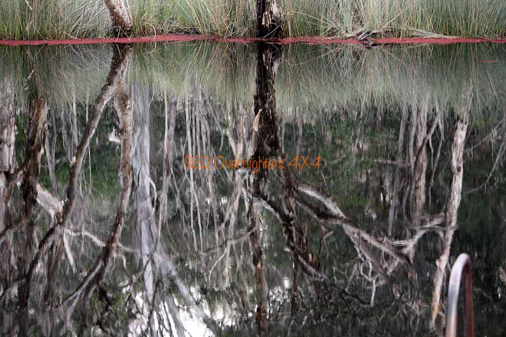
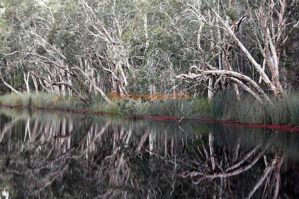
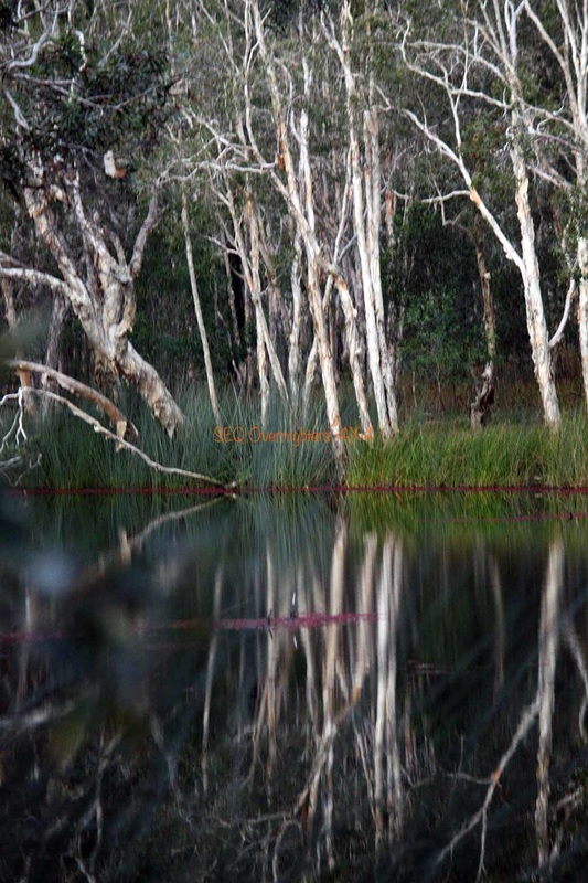
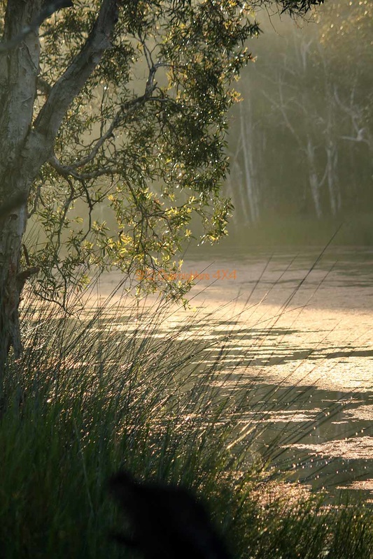
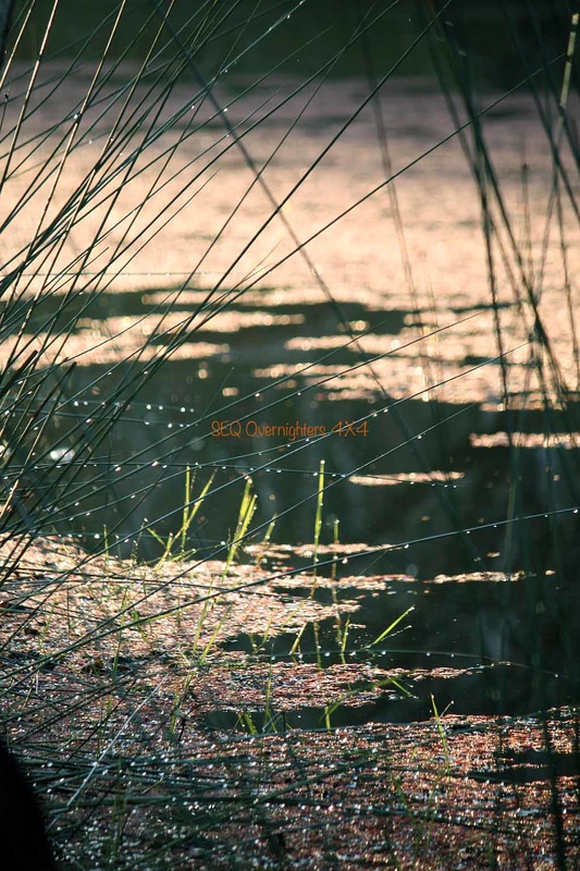
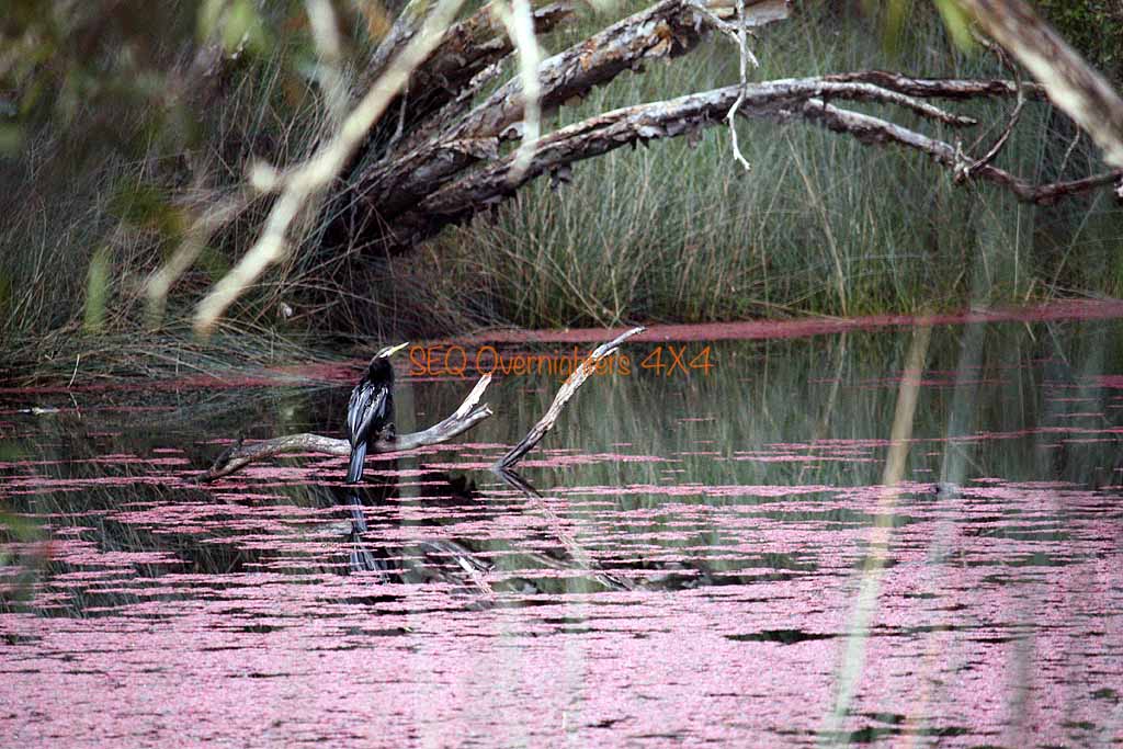
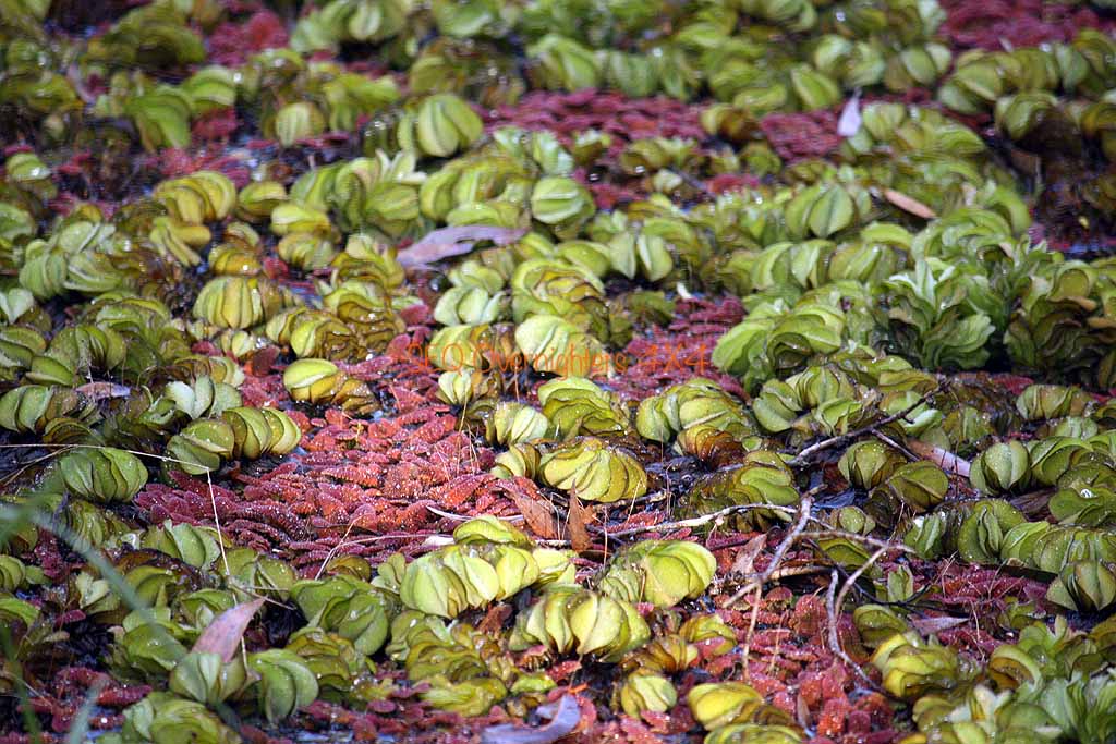
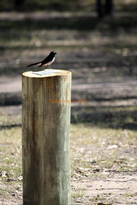
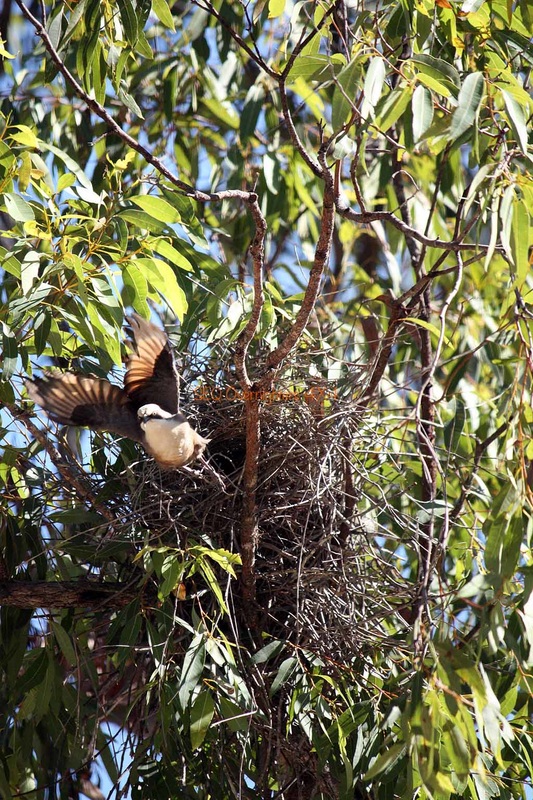
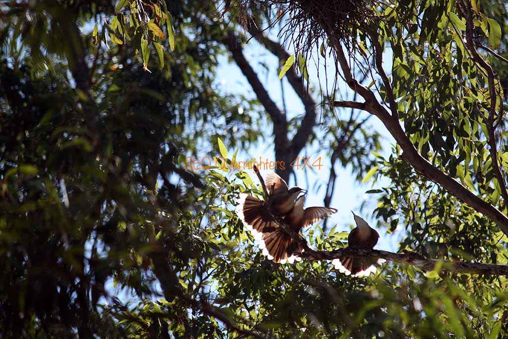
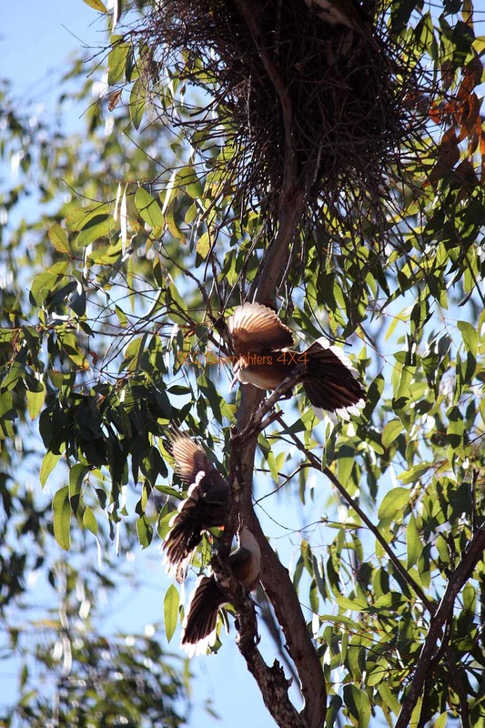
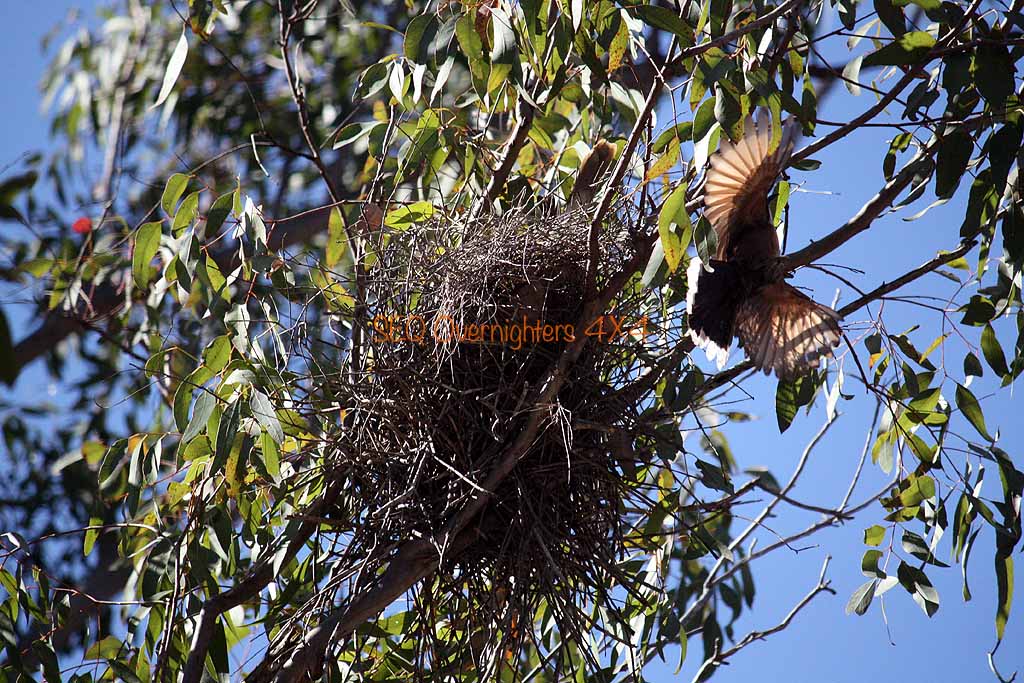
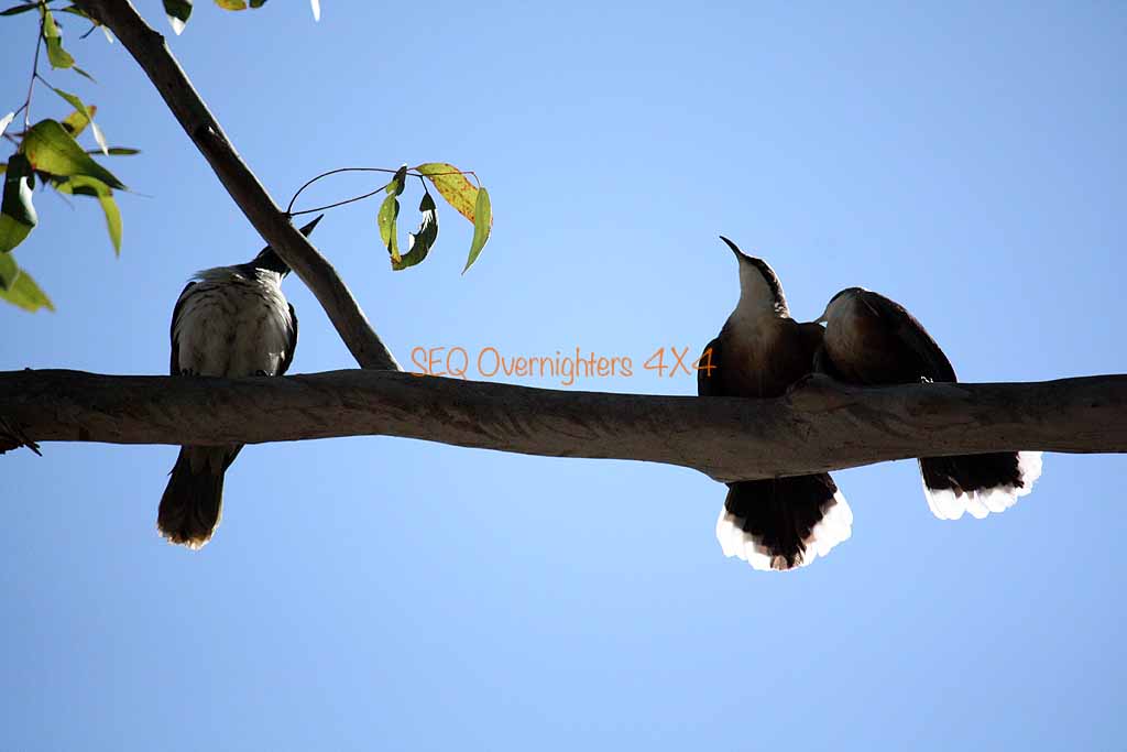
Wongi Waterholes is an absolutely gorgeous spot. Heavily shaded, birdlife in abundance, and somewhere to swim in the summer however you would have to time it to coincide with all the duckweed being at one end of the hole or the other. It looks very inviting when the surface is clear of weed. The amount of shade there would be another plus for summer camping although the mosquitos may be an issue then. There were a few around but I didn't get hammered as I usually do and only applied the insect repellant more as a precautionary measure.
Monday morning we had a lazy start. More photos, some breakfast, and eventually packing up, we made our way out to the Bruce Highway via the shortest route possible, a track heading pretty much due East from the Campground. Once on the bitumen it was South to Maryborough, then Gympie where we stopped for a bite to eat at the "Golden Nugget" at Kybong, just South of town. From there it was a fairly good run and we said our goodbyes to Alison as we took the Yandina exit to visit Kate's Mum. Kate and I got home just in time to unload the car before dark.
Our thanks to those that came and made the weekend special.
As usual, photos without the watermark may be purchased in various sizes by visiting the shop page "here" and quoting the image number that appears on mouseover or in the caption. If the image belongs to a member, you will be put in touch with that member. Any money raised from photo sales goes back into the group in the form of free raffle prizes.
HEMA App Track Stats:
Kilcoy to Kilkivan track distance - 202kms.
Kilkivan to Wongi track distance - 146kms. (includes morning local play)
Track total (does not including getting to Kilcoy or getting home) - 348kms.
Well, what a great weekend again. After meeting in Kilcoy at 7am as arranged, we departed on schedule and headed west toward the town of Moore where we made a right hand turn to travel North to our first stop at Linville.
On this trip we were expecting 10 to 12 cars but.. stuff happens and some folk had to pull out but we still had 5 cars and 9 people. We had Graham & Jackie, Brad & Gavin, Sue & Gary, Alison, and Kate & myself. The header image above shows a group shot from Sunday morning after we packed up camp.
There is an old railway station here and about 50 metres of track with a few old carriages to look at. The site was used to load and transport timber via rail during the logging days and is now a popular "free overnight camping" spot.
It is also the start of a journey that can be taken on foot, by horseback, or by bicycle along the old rail route now known as the "Brisbane Valley Rail Trail" or the "Brisbane Valley Heritage Trail". Many more images from this spot can be seen on the trip report from our first trip to this location "here".
After a short stay we continued North toward Mount Stanley where the road forks. The upper Brisbane River splits into an east and west branch here and we followed the Eastern Branch to a private camping spot where we had morning tea and took a few snap shots.
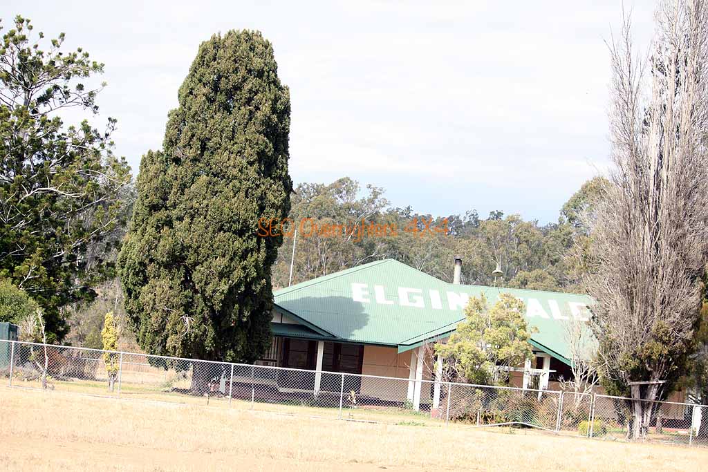
Backtracking to the fork in the road we then made a right turn onto the Western Branch Road and continued North on the western boundary of Mount Stanley Forest and Elginvale State Forest and eventually hit the black top again at Elginvale. This is more of a province than a township. Making a right onto the bitumen we continued for a while and turned left onto Kilcoy-Murgon Road (another dirt road) and travelled North to make another turn to the right and a few turns later found ourselves on Blacksnake Road and travelling through Wrattens Forest Reserve.
On the last leg of our travels for the day now and only a couple more points of interest before setting up camp at Kilkivan Bush Camping. We made the short but interesting drive up the trail to the Trig Station at the top of Mount Mia. A fallen tree was blocking the trail but Gary made short work of it with his chainsaw and we were soon on our way, arriving at the top at about 1pm for lunch and some stunning views. After coming back down to the main track it wasn't long before we hit a very picturesque but unnamed dam.
Just past that there was a flooded quarry and we were back onto the bitumen again for a while. Still on Blacksnake Road we followed it to it's end at the intersection of the Wide Bay Highway where we made a right turn toward Kilkivan. A quick stop was made before heading to camp where we settled in for the night around the most psychedelic campfire I've ever seen. Graham and Jackie had brought along some sachets of something called "Mystical Fire" which they threw into the fire periodically.
We all did our own thing for dinner and then began the total destruction of any diet related thoughts any of us may have been harbouring. Kate had made two batches of fudge in the slow cooker at home, one was tim tam and the other was redskin, (pure evil I say!) and Sue & Gary made golden syrup dumplings (served with ice cream) and Brad made a self saucing chocolate pudding (served with whipped cream) and also a sticky date pudding with butterscotch sauce which he also served with whipped cream. I'm not game to get on the bathroom scales.
Some time during the evening I drew the raffle which was won by Sue Walker. One of our laminated checklists and a packet of Tim Tams. As if there weren't enough sweet things to eat this weekend. Eventually we all went to bed after an evening of good food, good company, and some photographic attempts at star trails and general shots of the night sky and after our early start... our Saturday was finally done!
Sunday morning began with the sound of birdsong. The Kookaburras (aka; The laughing jackass) are always about although I fail to see what's funny about 4am, or "Stupid O'Clock" as I like to call it. Kate was up early to try and get some more photos and I followed soon after and made a cuppa got the fire going again. This took very little effort as there was plenty of heat left from the night before so all I had to do was stir it up a little and throw some more wood on. It burst into flames again shortly after that.
Breakfast, some conversation, some washing up, and a pack up and we were off again. We weren't going far though as we were just going further up the same road to look at the old Mount Clara Tin Smelter where we stopped for photos and then did a nearby hill climb which required low range but wasn't very rough at all. After descending, we made our way back to the Wide Bay Highway where Graham & Jackie, Sue & Gary and Brad & Gavin headed for home via some tracks at Brooyar State Forest (led by Graham) and Alison and Kate & myself continued North for our 2nd night at Wongi Waterholes.
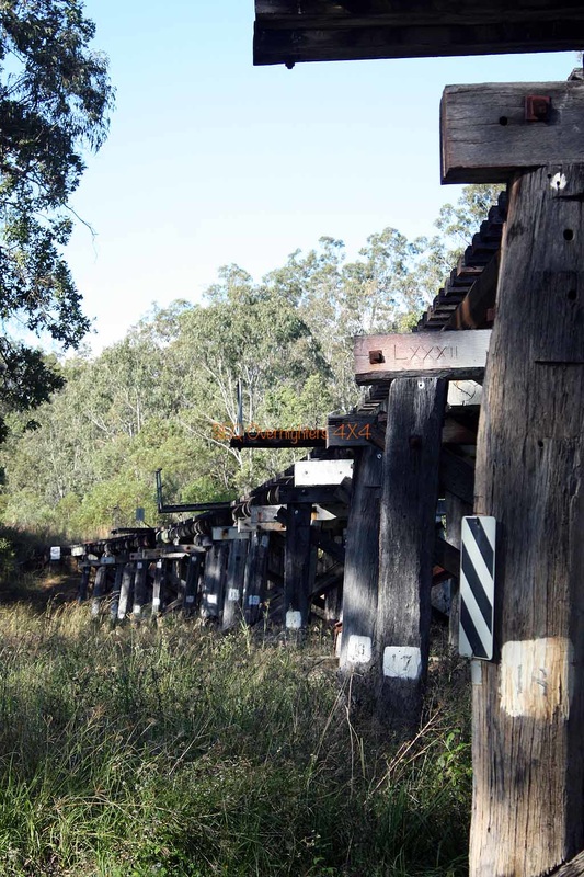
After saying our goodbyes to the others via the radio we (Alison and Kate & myself) followed Running creek road as instructed by the book I was using, and followed it to Brooweena-Woolooga Road and then onto some more back roads before emerging at Aramara where we made a stop to take some shots of an old railway bridge before continuing to North Aramara and Musket Flat Mountain. I planned to stop here but I didn't see the rest area shown on the map, nor did I see any signs of the "bush camping" that was mentioned in the book.
The only thing at Musket flat seemed to be about 100metres of bitumen and a nice homestead. We continued east along more dirt road until we briefly rejoined the Wide Bay Highway and turned left onto the dirt once again for the 18km run to the camping area at Wongi Waterholes. On arrival, Alison and I each proceeded to set up our camps while Kate went to take advantage of the afternoon light for some photos. Due to the lateness of our arrival I chose to get the Cobb Cooker warmed up and ready so that I could throw in a rolled pork roast after I finished setting up camp.
Alison cooked up her dinner at a time that would coincide with us sitting down to eat so that the 3 of us could eat together. We spent the evening chatting about this & that and wandered off to bed fairly early at about 9:30 I think it was. Shortly after that it tried to rain but only managed a few spits. We ended up with a good shower at about 4 to 4.30ish in the morning and I must say, it is a very relaxing thing to hear the pitter patter of rain on the roof of the tent.
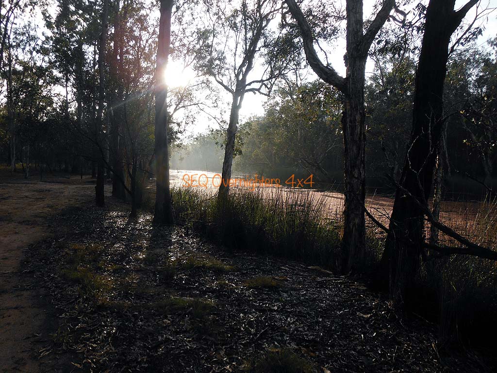
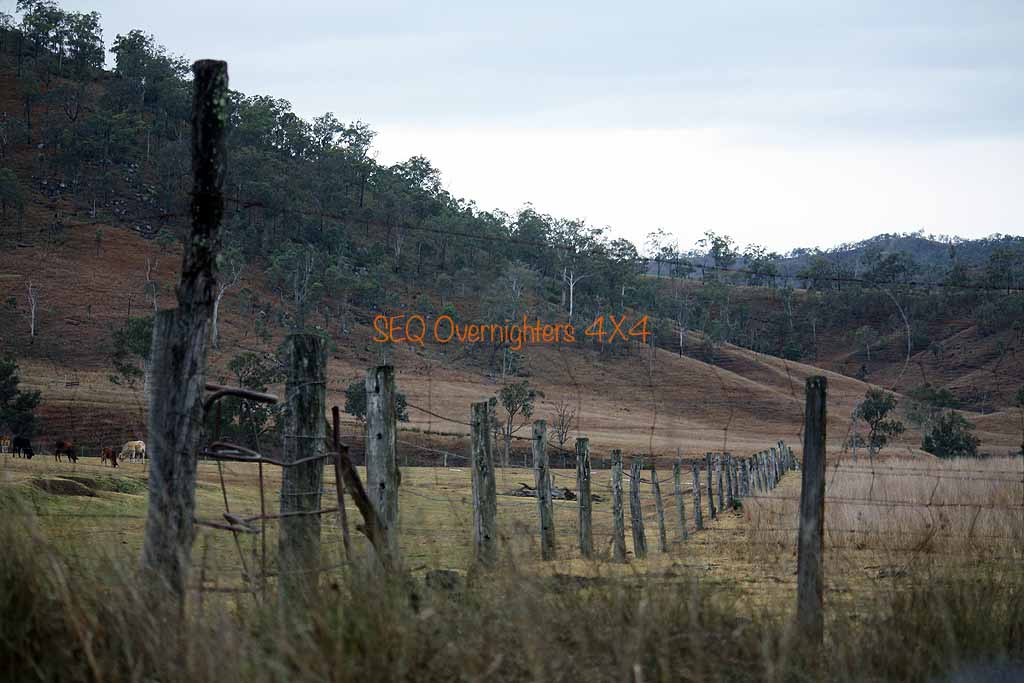
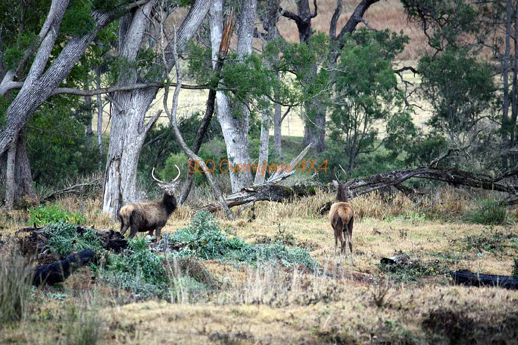
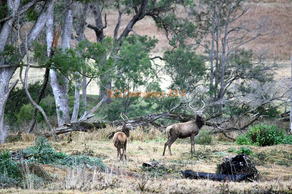
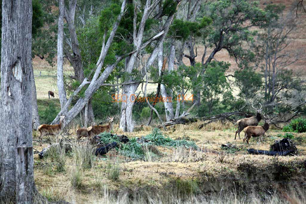
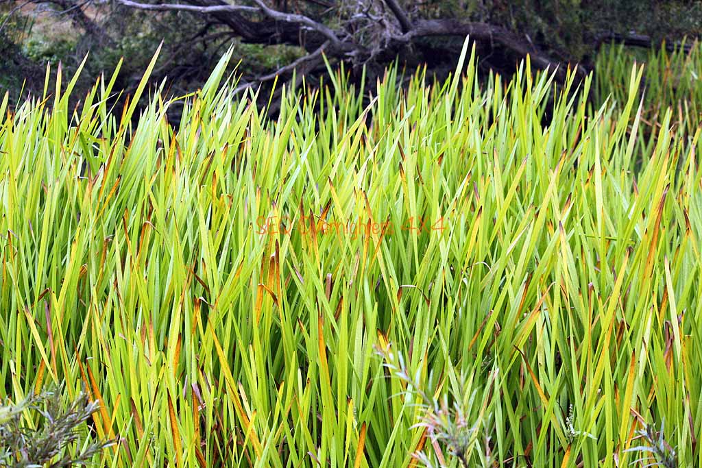
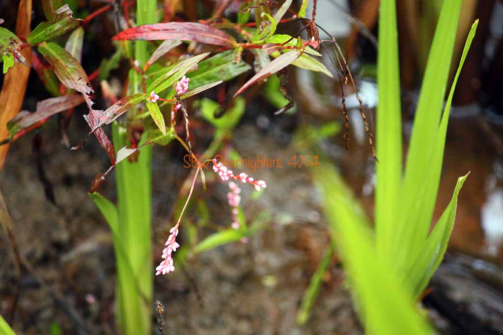
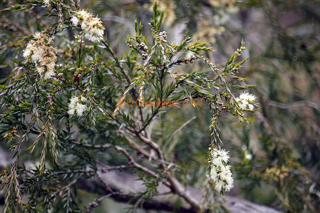
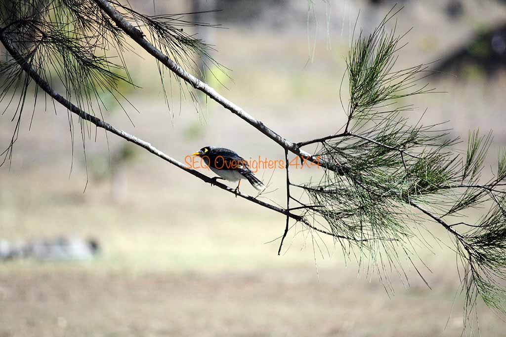
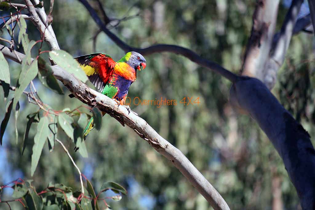
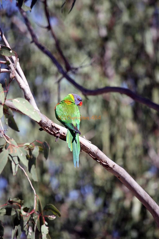
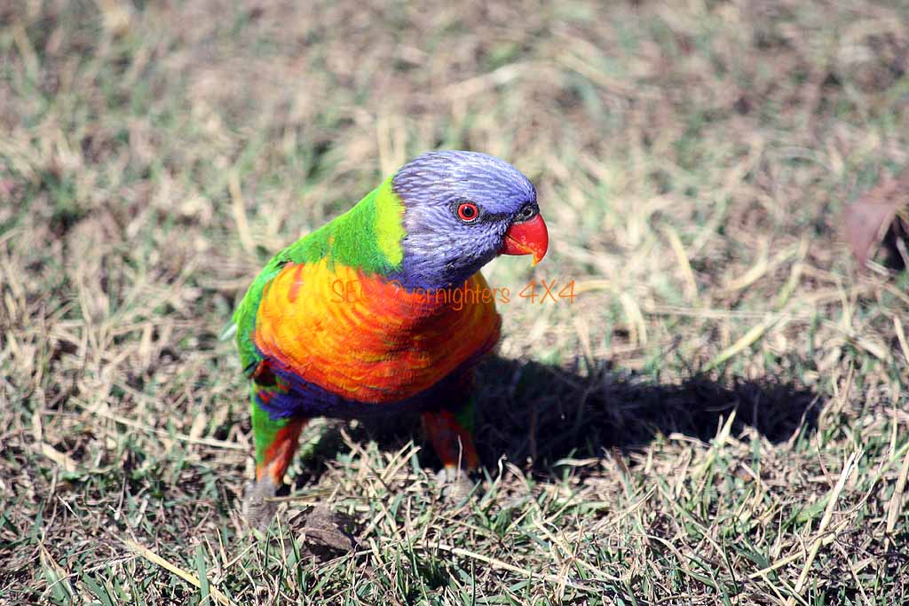
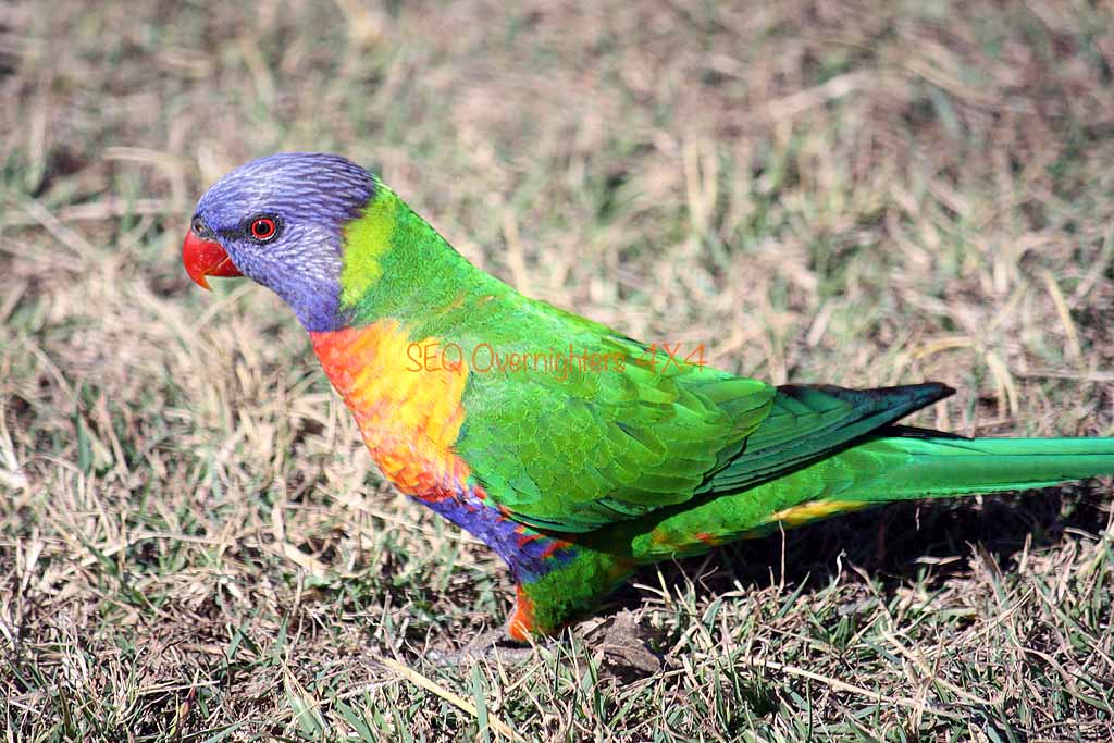
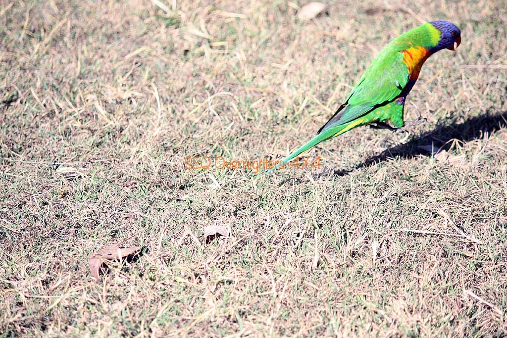
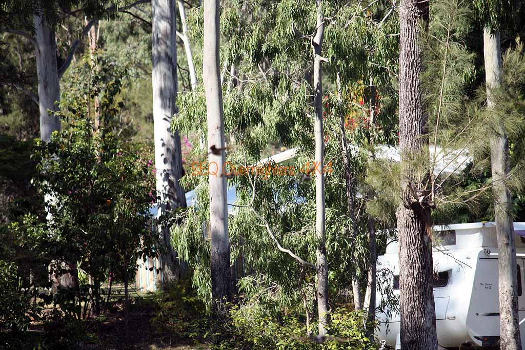
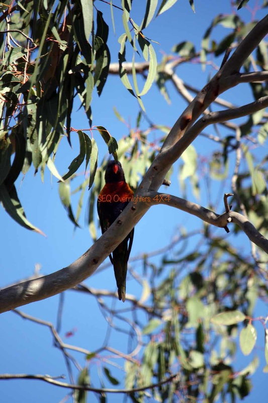
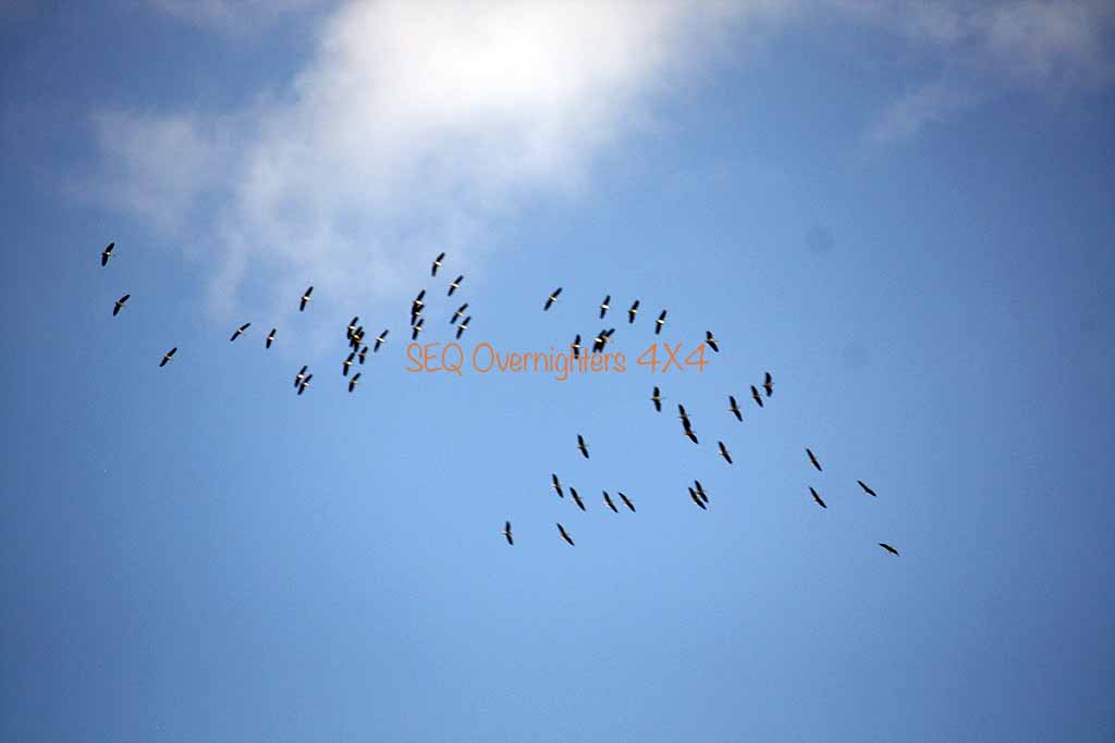
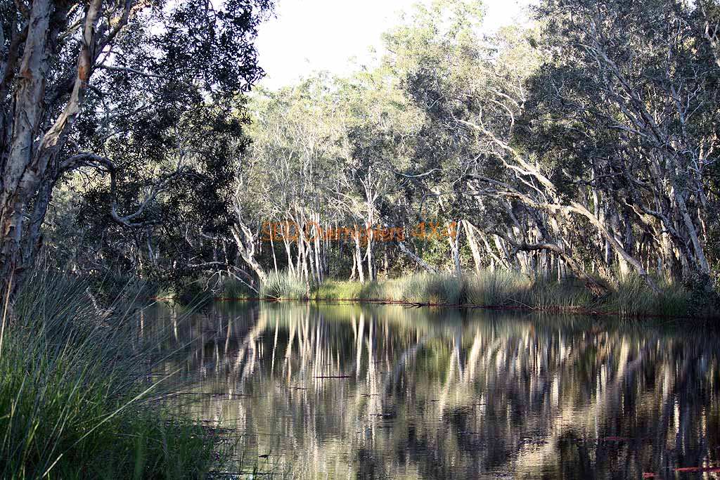
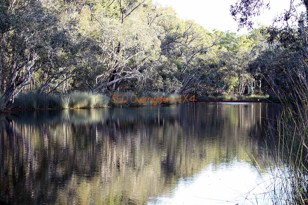
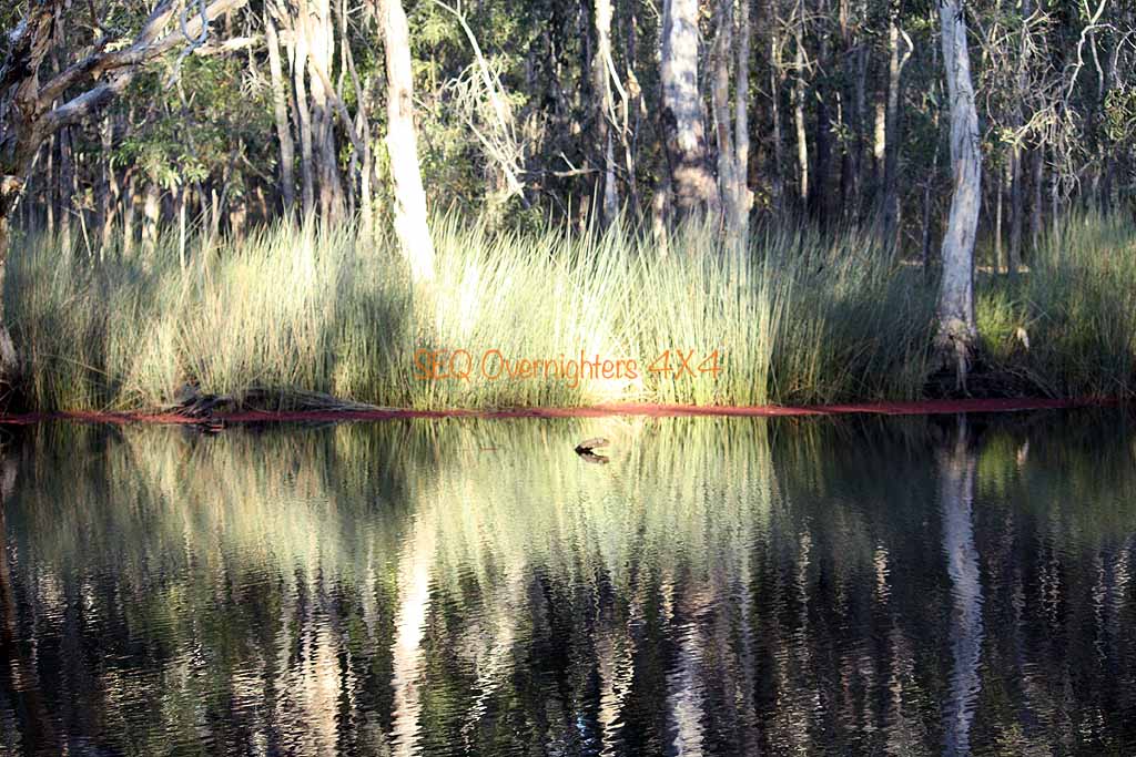
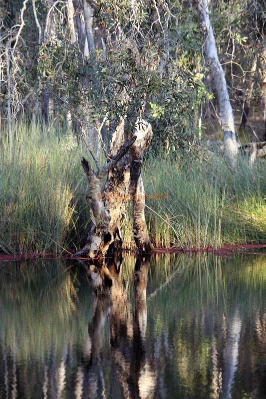
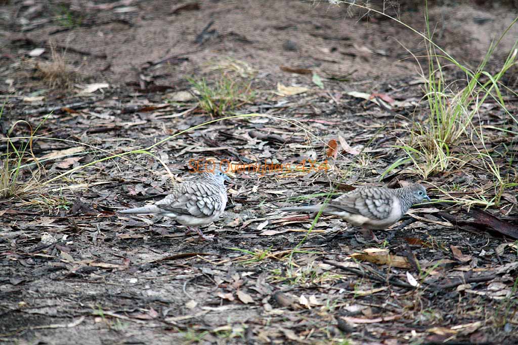
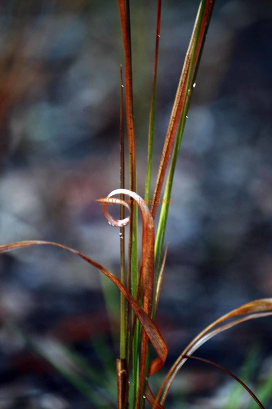
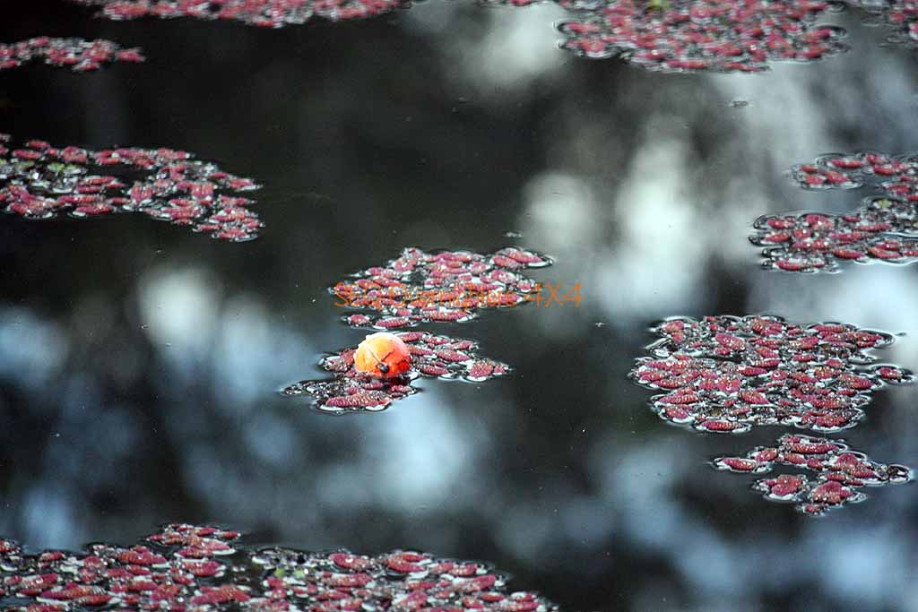
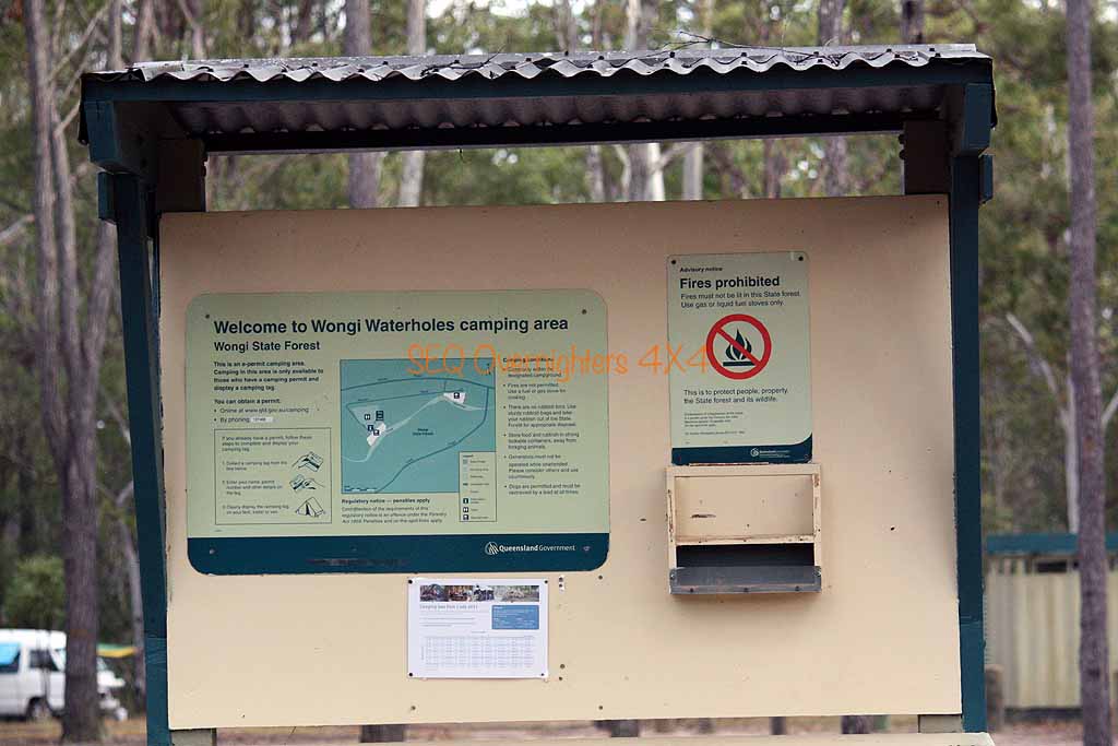
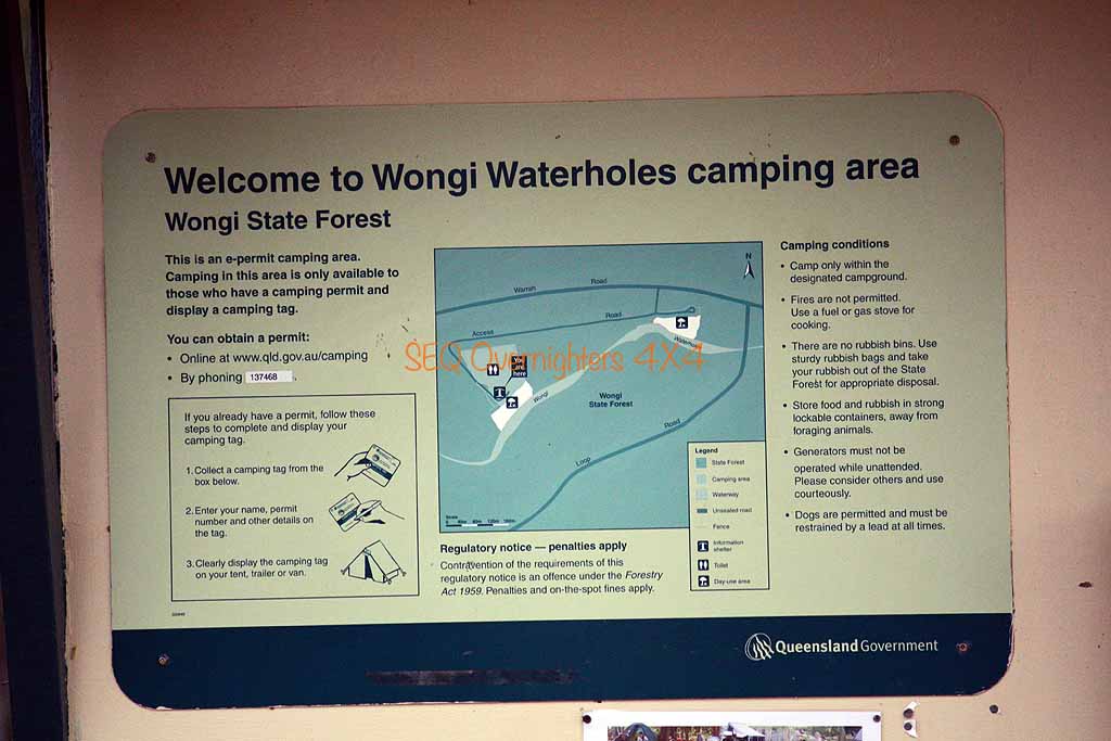
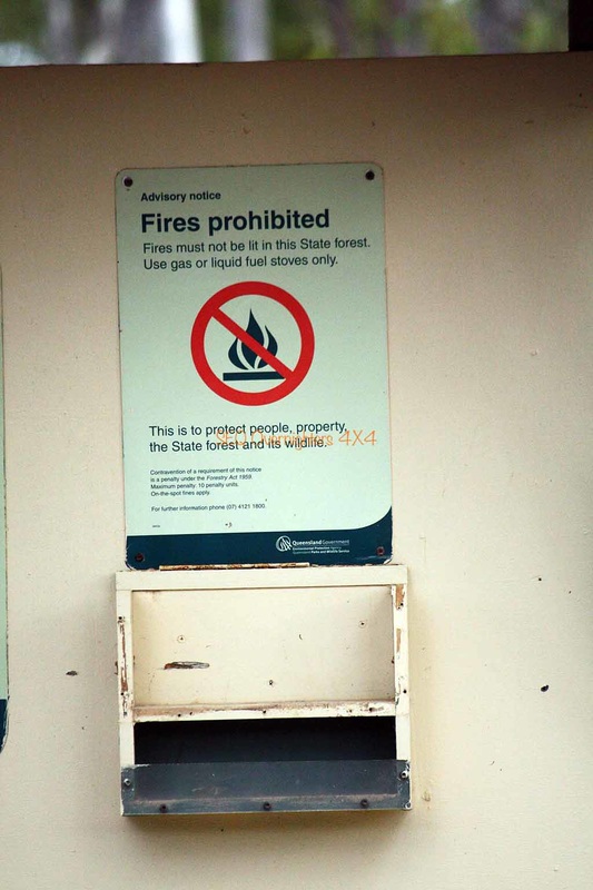
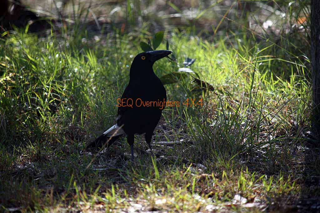
Wongi Waterholes is an absolutely gorgeous spot. Heavily shaded, birdlife in abundance, and somewhere to swim in the summer however you would have to time it to coincide with all the duckweed being at one end of the hole or the other. It looks very inviting when the surface is clear of weed. The amount of shade there would be another plus for summer camping although the mosquitos may be an issue then. There were a few around but I didn't get hammered as I usually do and only applied the insect repellant more as a precautionary measure.
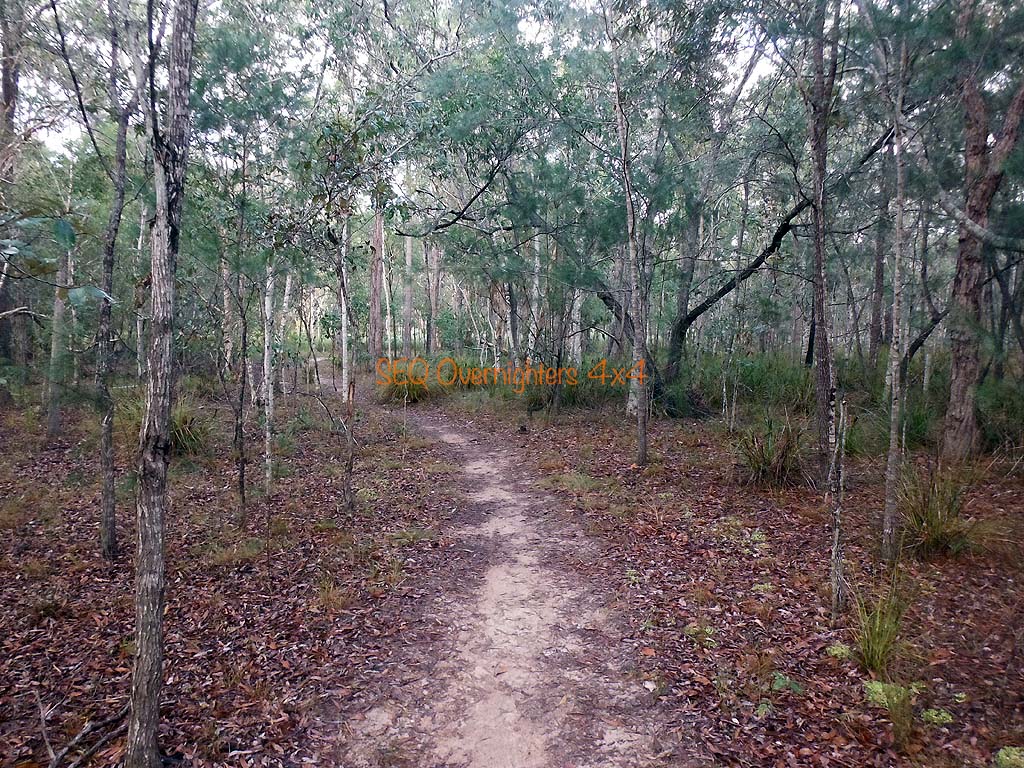
Monday morning we had a lazy start. More photos, some breakfast, and eventually packing up, we made our way out to the Bruce Highway via the shortest route possible, a track heading pretty much due East from the Campground. Once on the bitumen it was South to Maryborough, then Gympie where we stopped for a bite to eat at the "Golden Nugget" at Kybong, just South of town. From there it was a fairly good run and we said our goodbyes to Alison as we took the Yandina exit to visit Kate's Mum. Kate and I got home just in time to unload the car before dark.
Our thanks to those that came and made the weekend special.
As usual, photos without the watermark may be purchased in various sizes by visiting the shop page "here" and quoting the image number that appears on mouseover or in the caption. If the image belongs to a member, you will be put in touch with that member. Any money raised from photo sales goes back into the group in the form of free raffle prizes.
When viewing galleries - Click on any image to enlarge.
Photos in this gallery by Sue Walker.
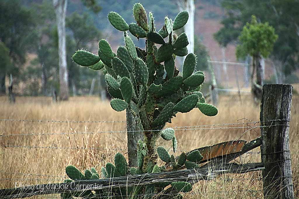
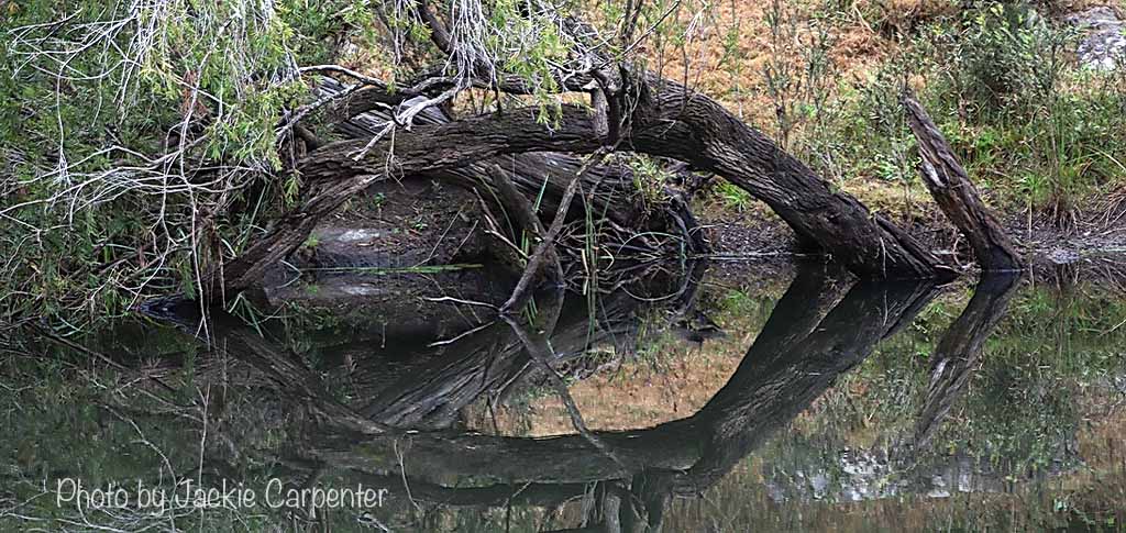
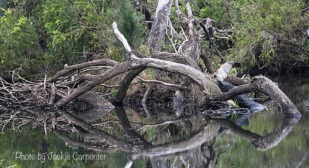
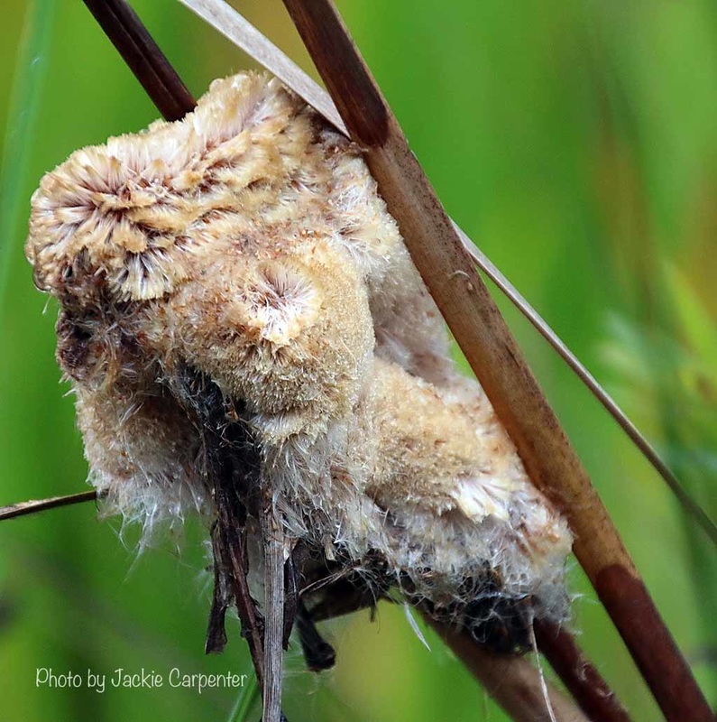
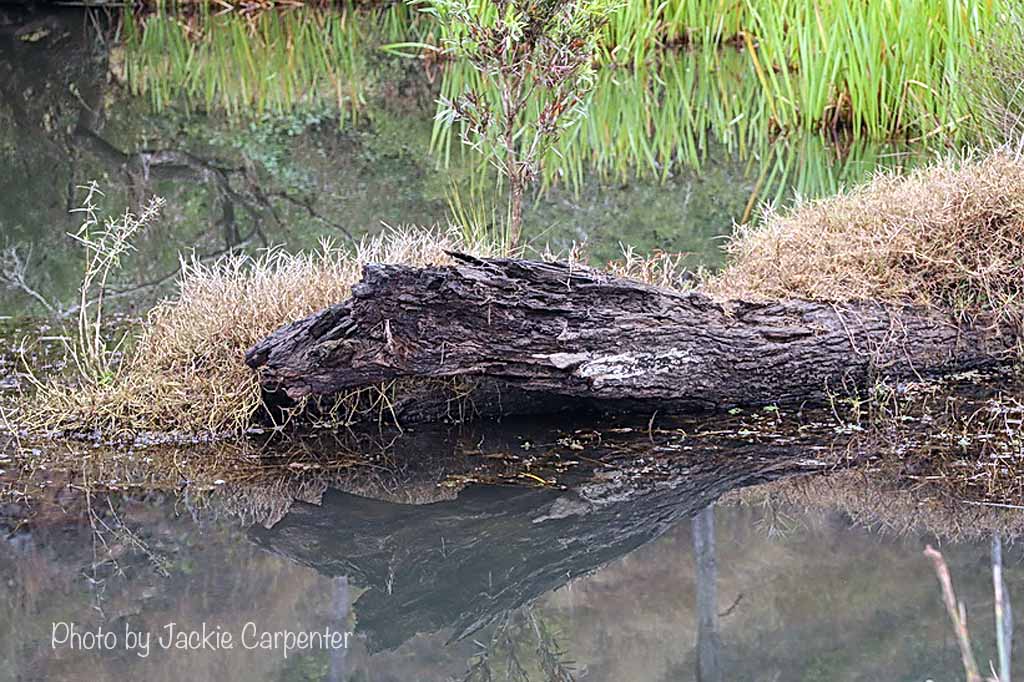
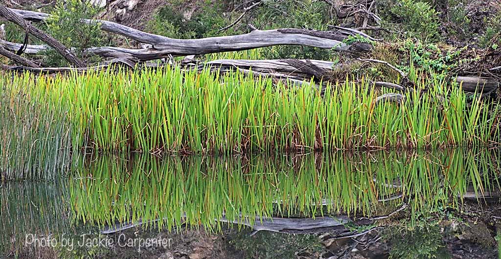
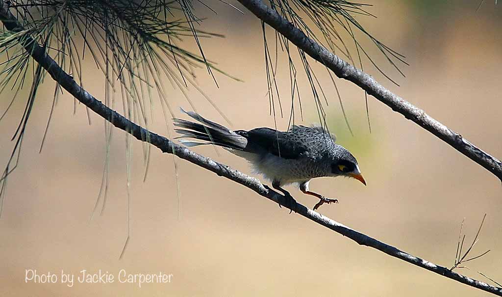
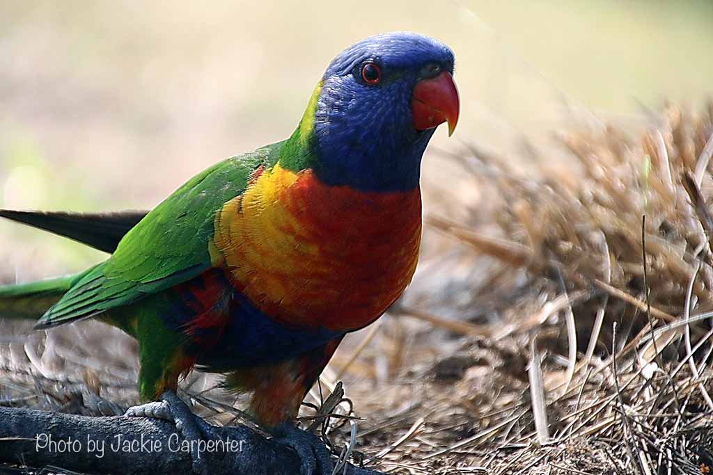
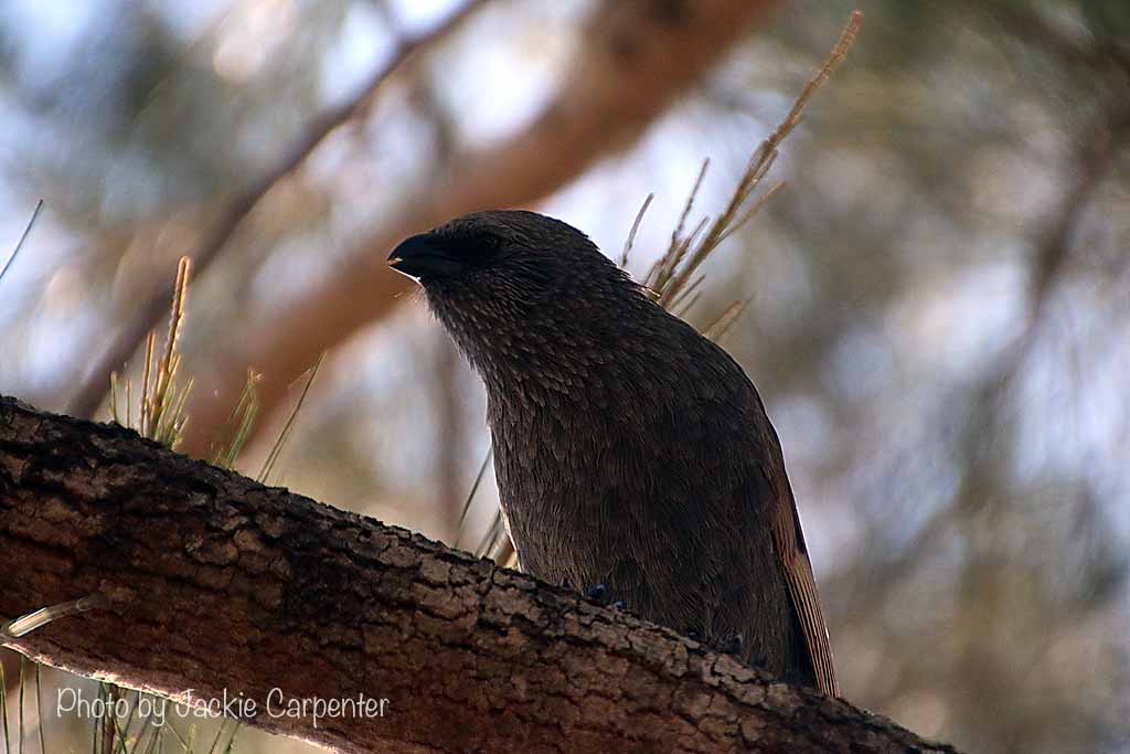
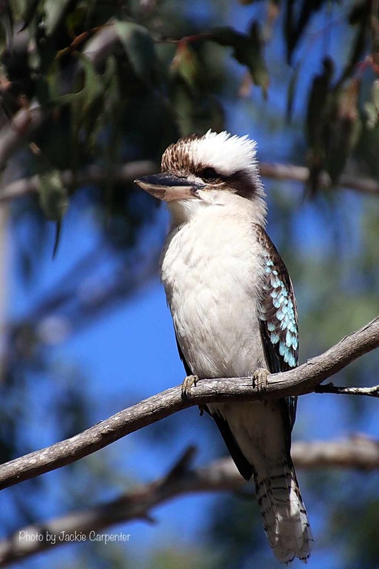
Photos in this gallery by Jackie Carpenter.
Photos from my point & shoot.
Photos from our DSLR by Kate Whitehouse.
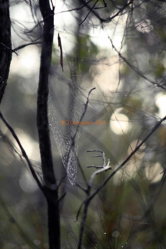
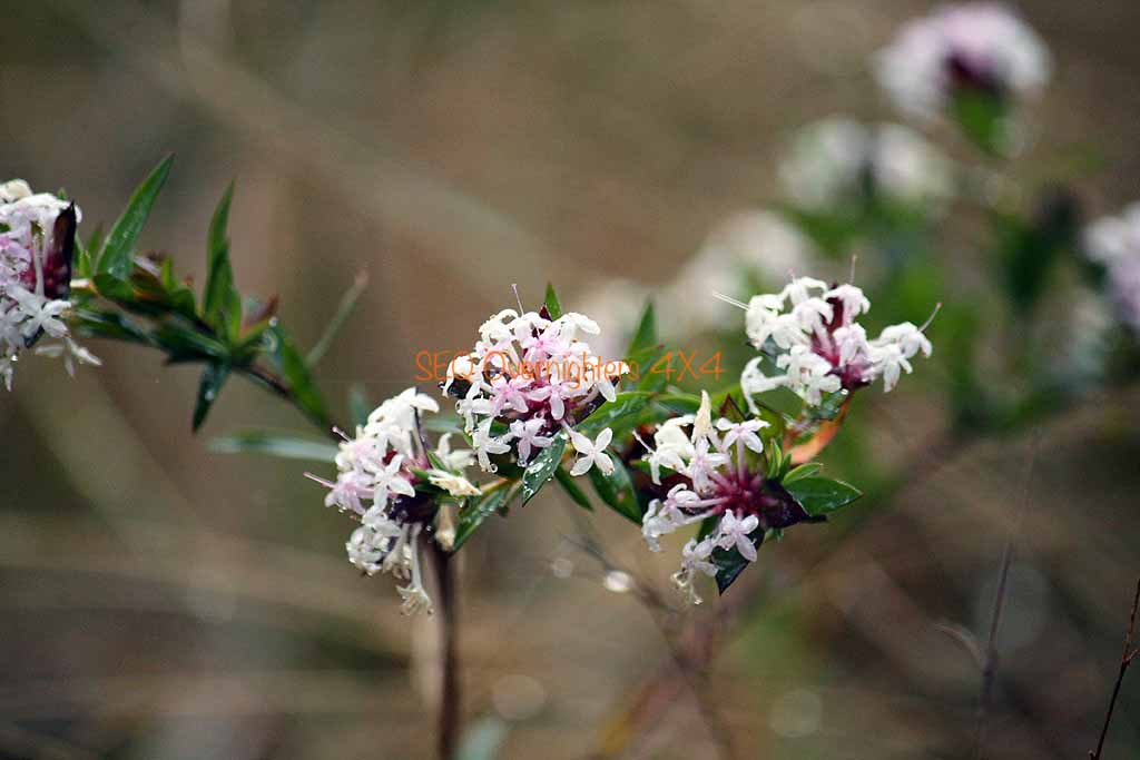
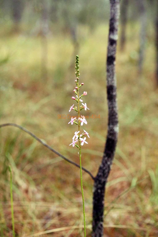
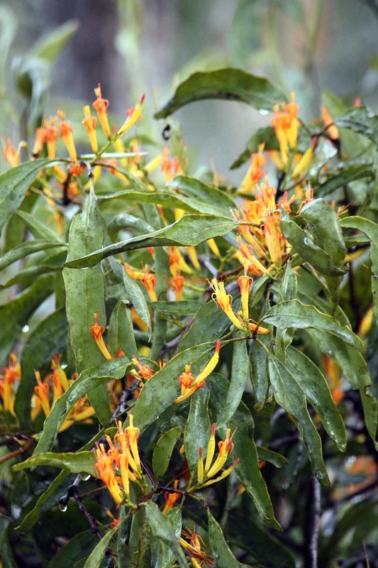
These 250 (approx) were chosen from the 1400 photos that Kate took over the weekend. I tried to keep the numbers down a bit.
These 250 (approx) were chosen from the 1400 photos that Kate took over the weekend. I tried to keep the numbers down a bit.


HOME | ABOUT | UPDATES | TRIP REPORTS | GALLERY | SPONSORS | FORUM | LINKS | SITEMAP
contact | prize winners
All content on this site is © Copyright and may not be downloaded, saved or used in any way without permission.
If I do not own the image, I will put you in contact with the person that does. Please use the form on the contact page.
contact | prize winners
All content on this site is © Copyright and may not be downloaded, saved or used in any way without permission.
If I do not own the image, I will put you in contact with the person that does. Please use the form on the contact page.
